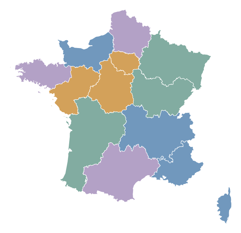
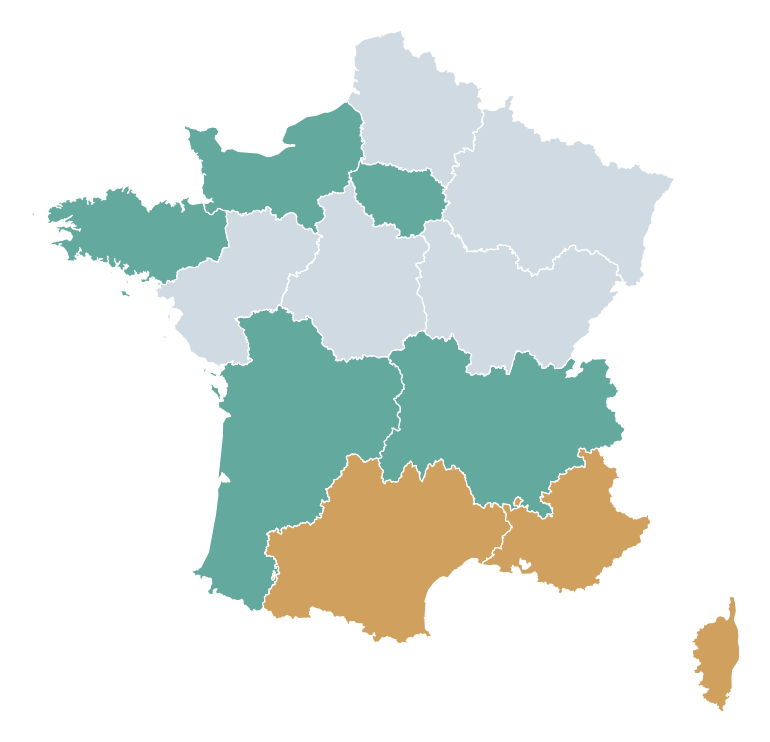
How do I color the regions of France on a map?How can I color regions?
Open the France template in MapSculpt, choose your palette, and color each region. Add a title and legend to explain the map.Choose a region and apply a color.
How many regions does France have?How many regions does France have?
France has 18 regions: 13 metropolitan regions and five overseas regions. This template covers only the 13 metropolitan regions.18 in total: 13 metropolitan and five overseas. This map shows the metropolitan regions.
What's the difference between a region and a department?Regions vs. departments?
A French region contains several departments. This template colors regions, not individual departments or municipalities.Regions contain departments; only regions are editable.
Can I create a regional election map?Can I map elections?
Yes. You can color regions manually using verified election data. Legislative constituencies are not shown on this map.Yes, using verified regional election data.
Can I show GDP or unemployment by region?Can I show GDP or unemployment?
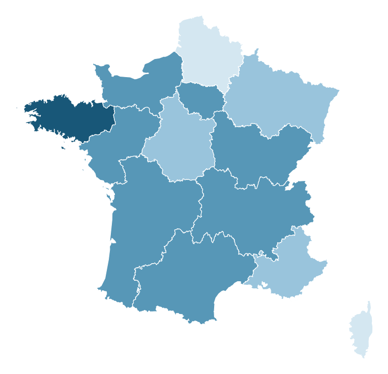
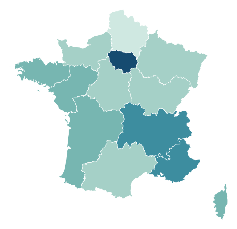
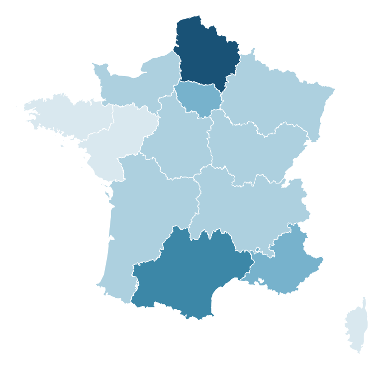
Yes. Group the regions by your data and create a legend explaining the color categories.Yes, using custom categories and a legend.
Can I download a customized France map as PNG?Can I download my map?
Yes. Export a PNG map with your title, legend and optional source information.Yes. Download the finished PNG map.
Can I create maps for r/MapPorn, r/dataisbeautiful, r/europe and other Reddit communities?Can I create maps for r/MapPorn, r/dataisbeautiful, r/europe and other Reddit communities?
Yes. MapSculpt lets you create custom maps for data visualizations, geographic comparisons and original map posts. You can color countries or regions using, for example, Eurostat data or other official sources, add a clear title, legend and source, and download your map as a high-resolution PNG.
For communities such as r/MapPorn, r/dataisbeautiful, r/europe and other subreddits, use accurate data, explain your methodology where needed, and check each community’s posting rules before submitting.Yes. MapSculpt lets you create custom maps for data visualizations, geographic comparisons and original map posts. You can color countries or regions using, for example, Eurostat data or other official sources, add a clear title, legend and source, and download your map as a high-resolution PNG.
For communities such as r/MapPorn, r/dataisbeautiful, r/europe and other subreddits, use accurate data, explain your methodology where needed, and check each community’s posting rules before submitting.