Why are there five Census counties in Hawaii?
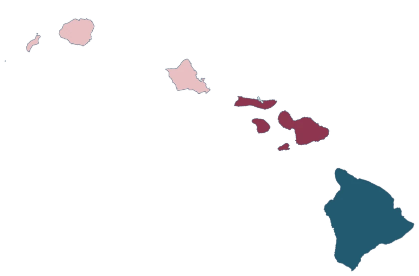
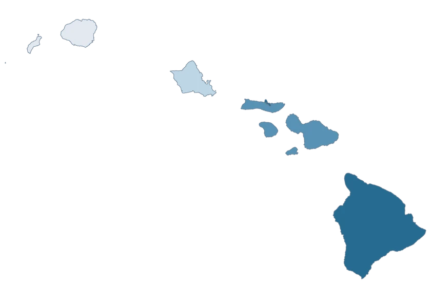
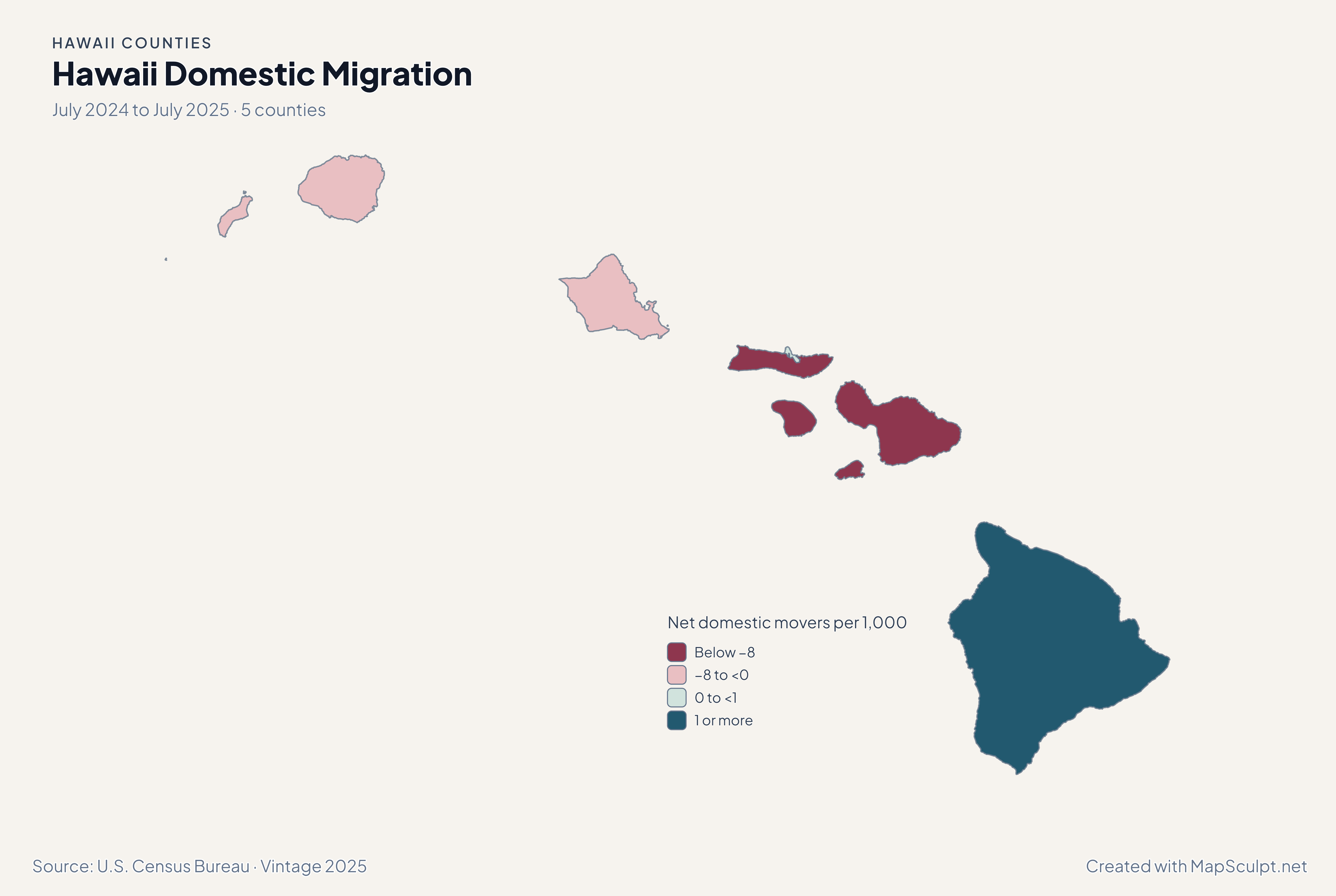
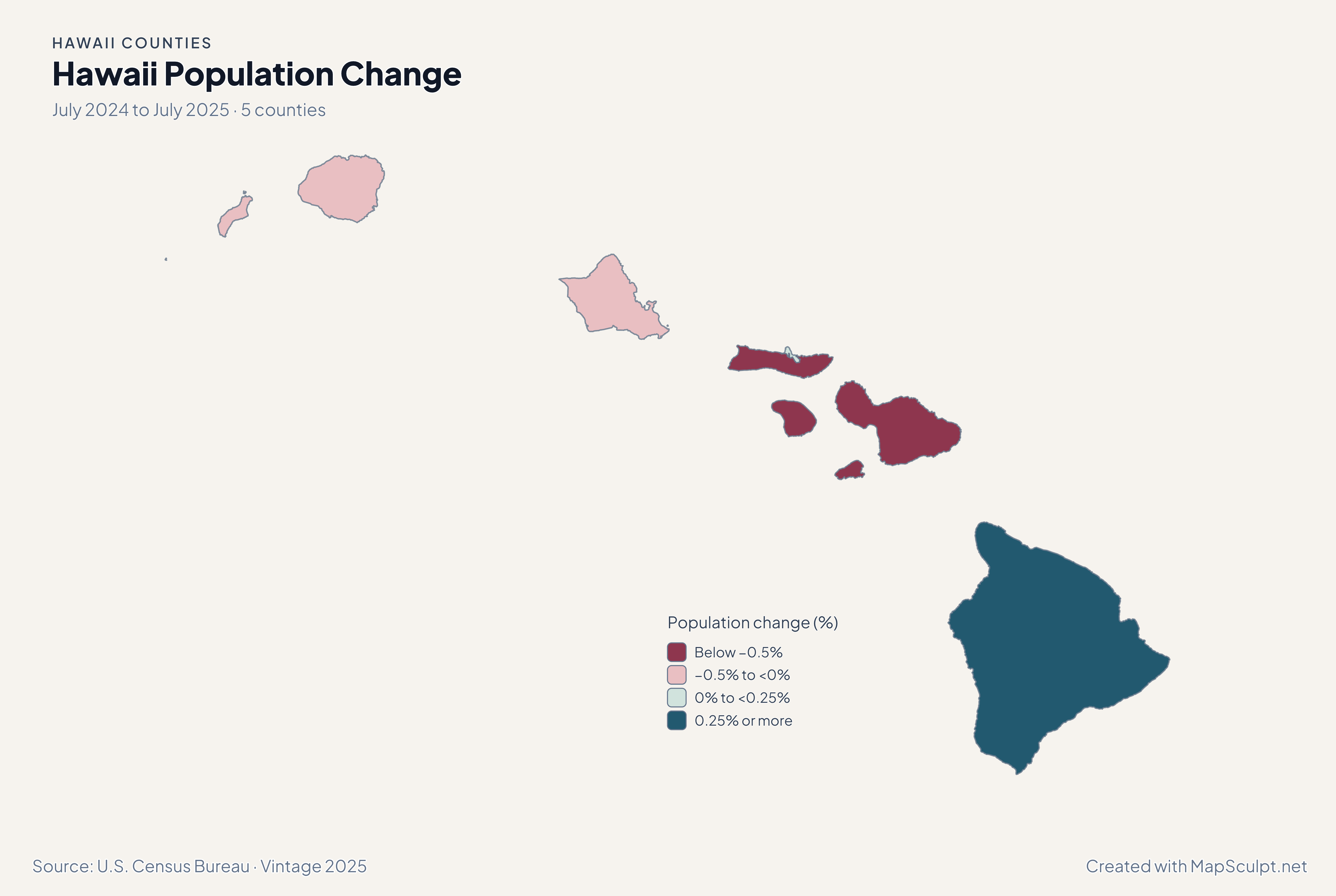
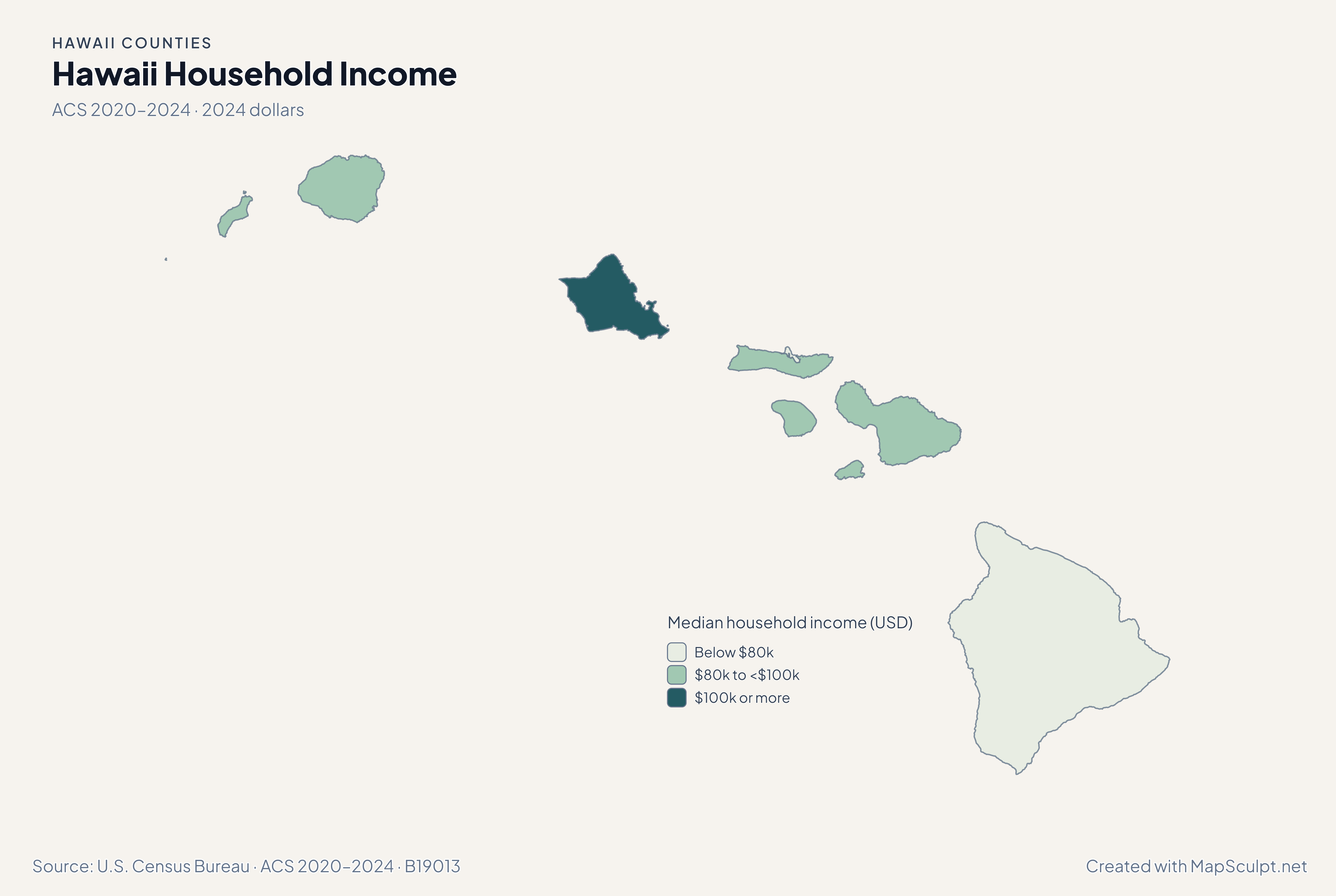
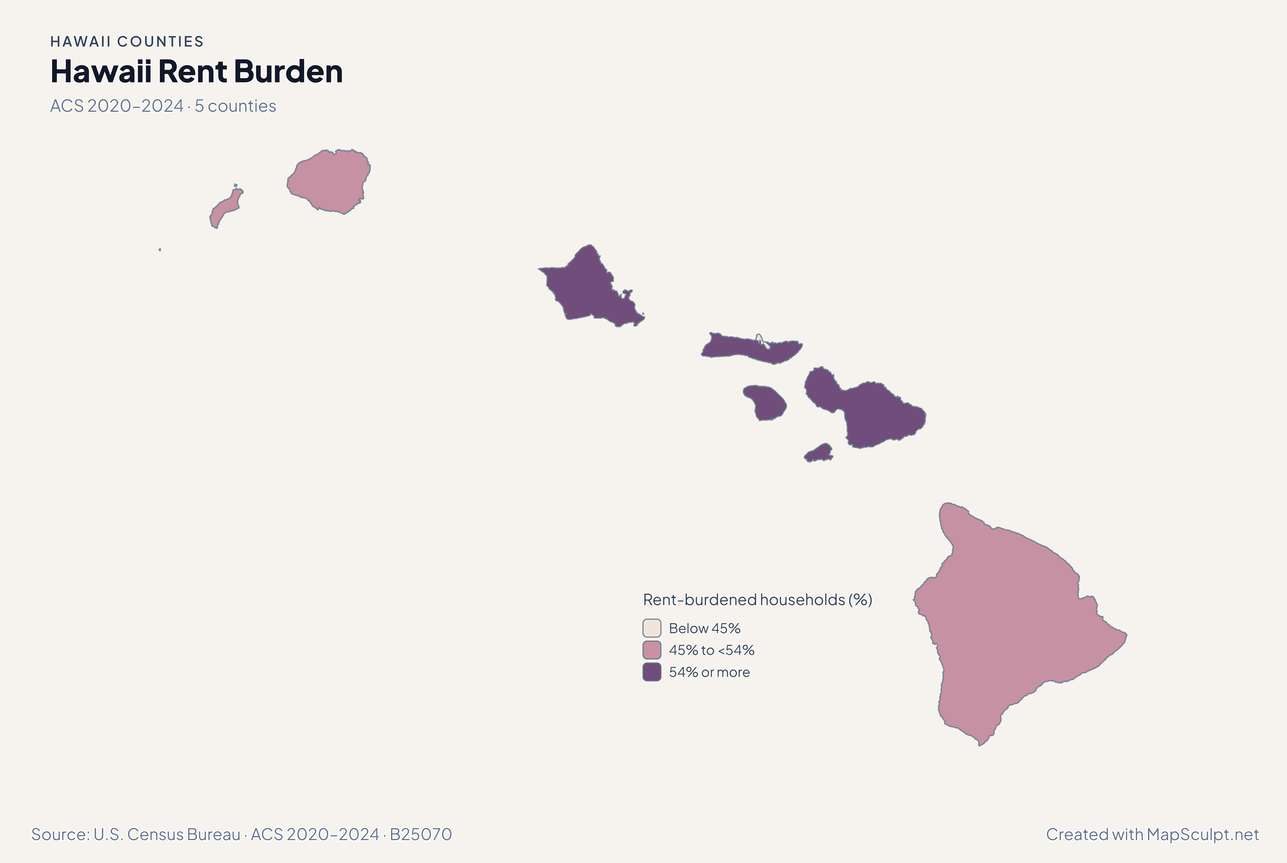
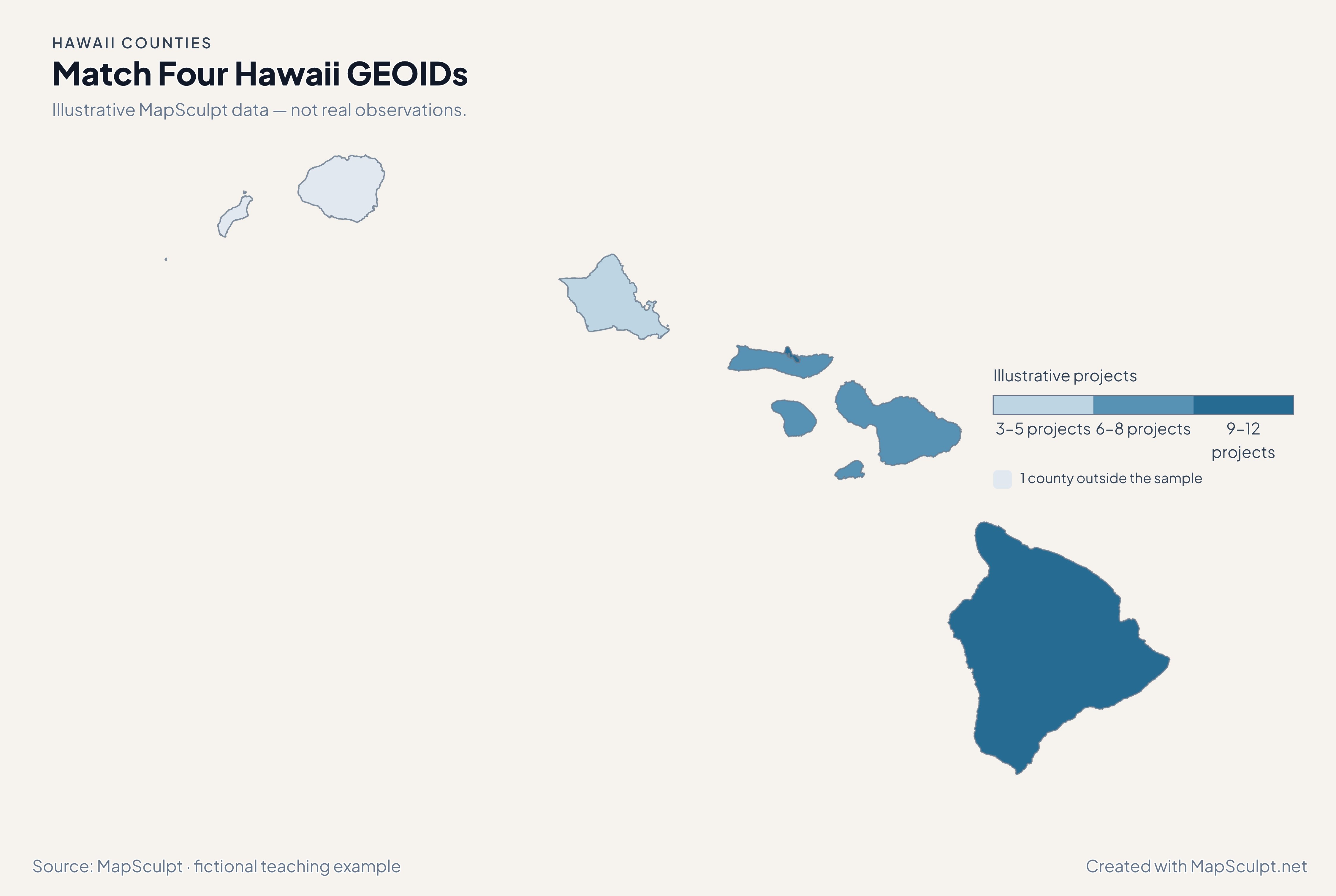
The county geography includes Hawaii, Honolulu, Kauai, Maui and Kalawao. The Census treats Kalawao as separate even though it has a distinct administrative arrangement.
Is Kalawao County part of Maui County?
Kalawao is on Molokai, alongside parts of Maui County, and has a separate Census GEOID, 15005. The editor keeps its original polygon and fill.
Which county contains Honolulu?
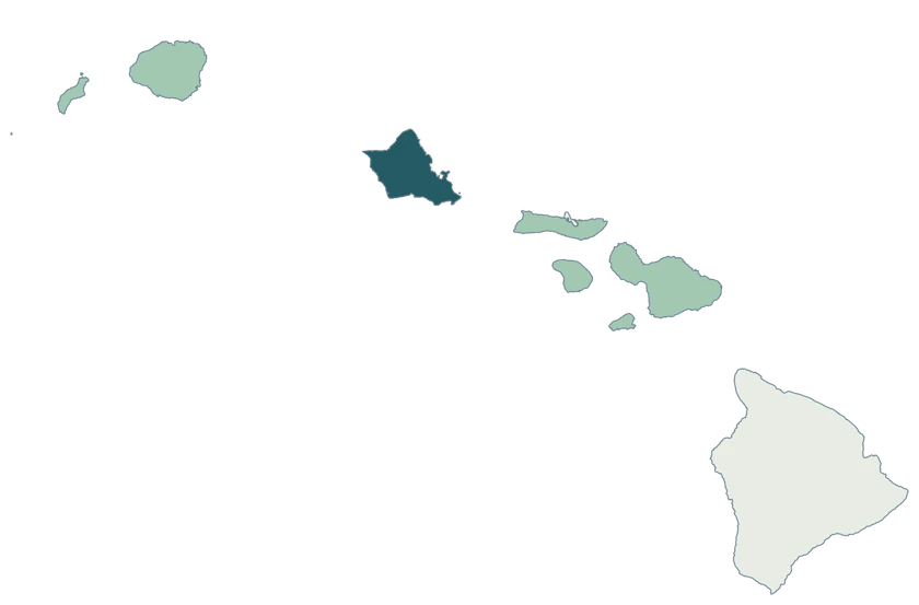
Honolulu is on Oahu within the City and County of Honolulu. The Census directory uses Honolulu County and the GEOID 15003.
Why do some islands share a color?
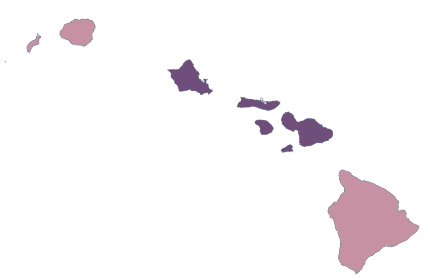
Several islands can belong to one county. A county-level style applies to every displayed part of that county.
How can I target Kalawao if it is hard to see?
Use 15005 in your CSV. A GEOID match assigns the fill directly without having to click the small peninsula on the canvas.
How should I read ACS estimates for Kalawao?
Check the margin of error and the population or household denominator. Blank, suppressed and invalid-ratio values belong in a no-data class. The pinned release has valid values on these four maps, and the small ACS sample warrants caution.
Which part of Hawaii does the map display?
This composition focuses on the main Hawaiian Islands. The Northwestern Hawaiian Islands are outside the frame.