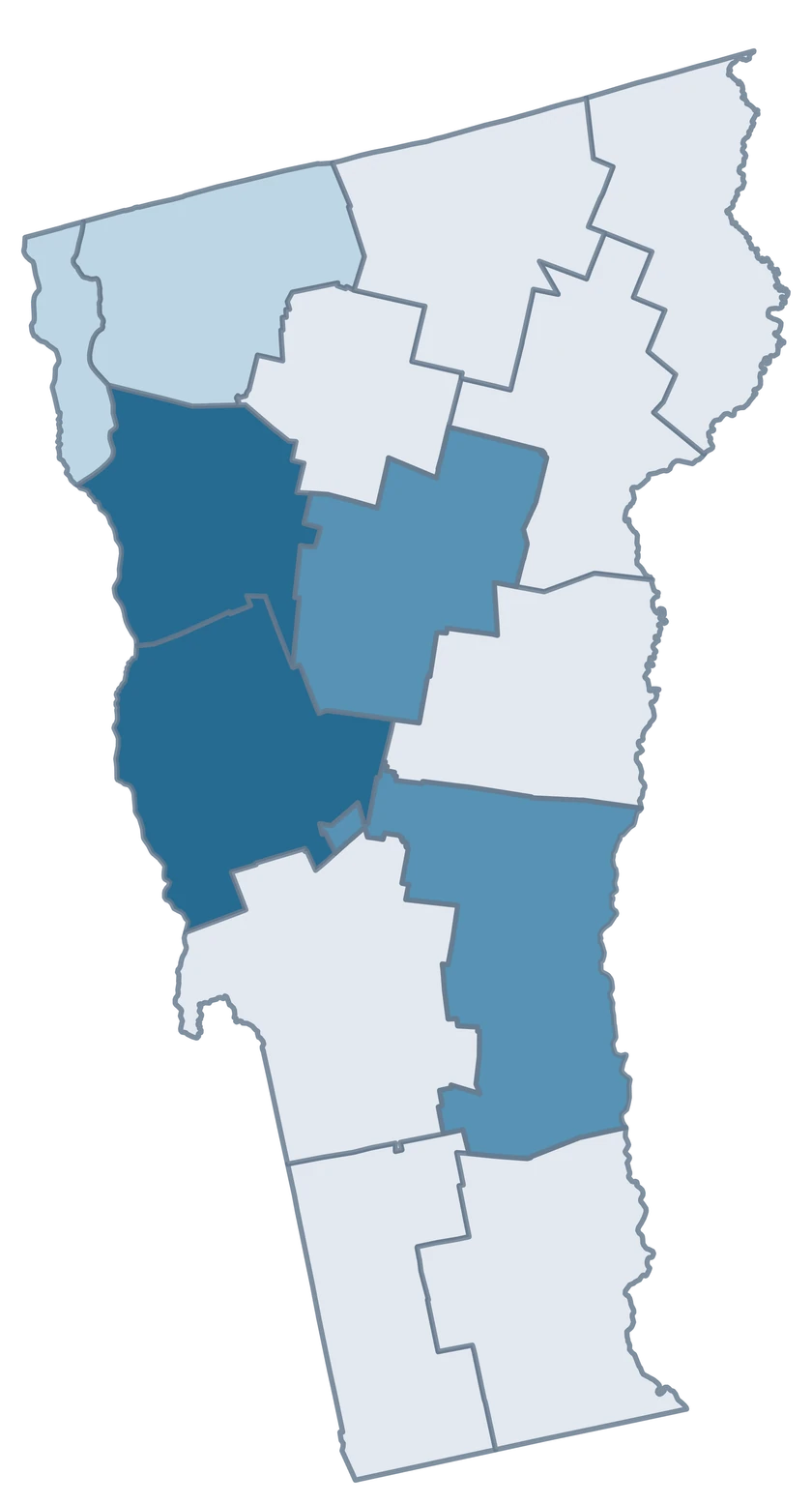
Which county GEOID should I use for Burlington-area data?
Use 50007 for Chittenden County. Check that your source reports the entire county before joining it.
Where do I locate Grand Isle County?
Search Grand Isle County or GEOID 50013. Its Lake Champlain geography is part of the statewide map.
Can I map Vermont town-level rows in this editor?
Use county-level rows or aggregate compatible town observations to counties with a documented method. The selectable units here are counties.
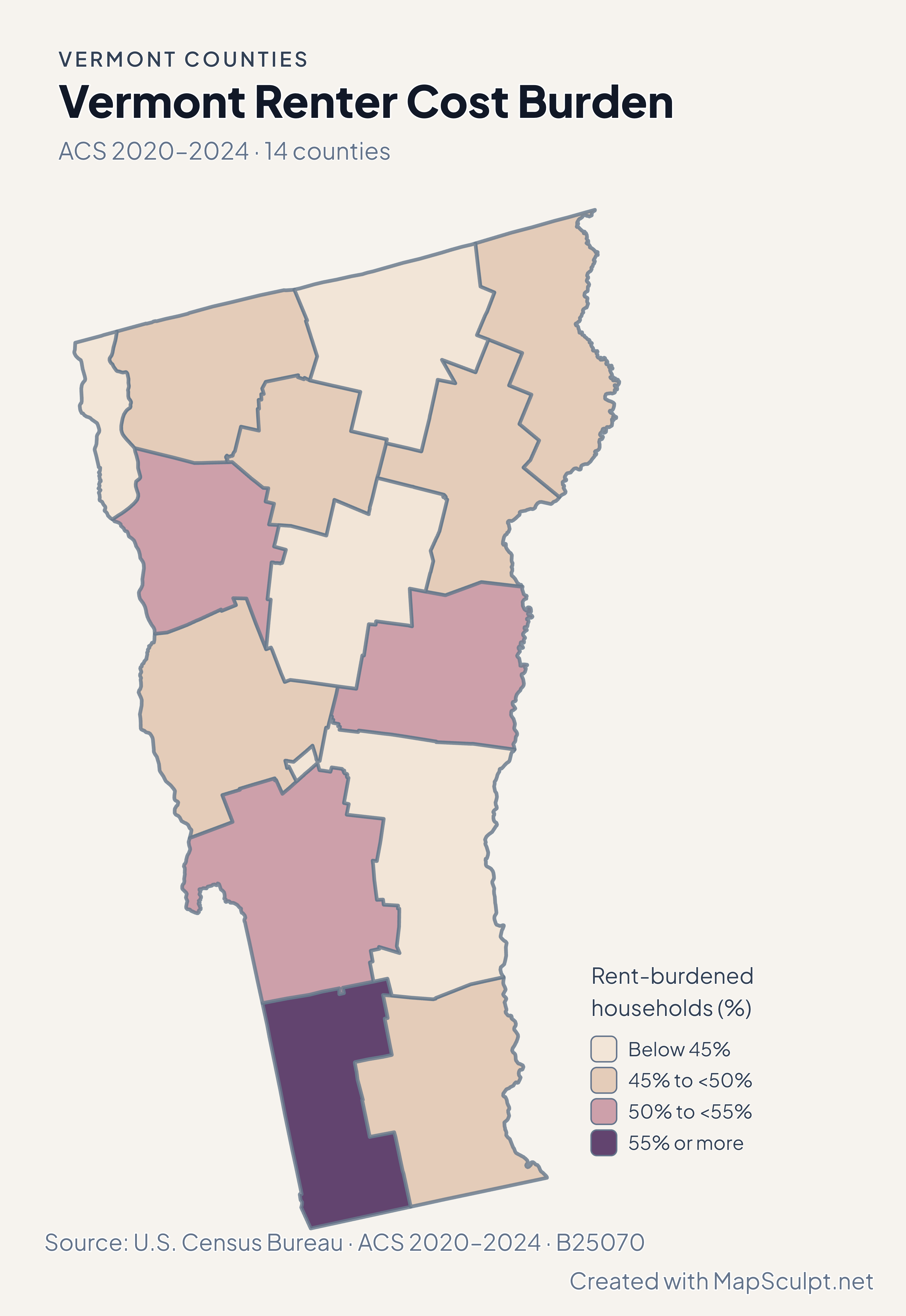
What does the Vermont renter map measure?
It estimates the share of renter households with a computable ratio that spent at least 30% of income on gross rent.
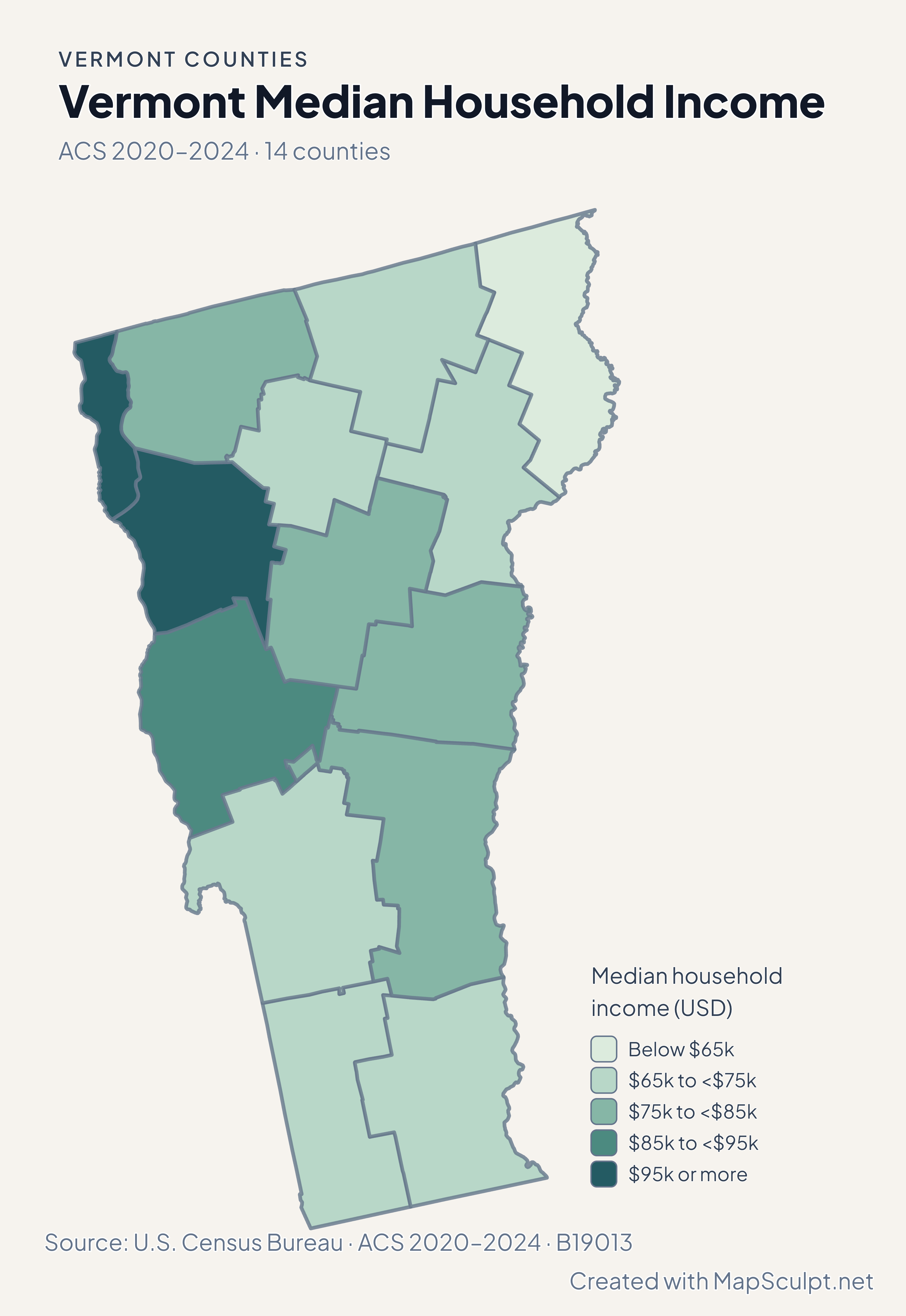
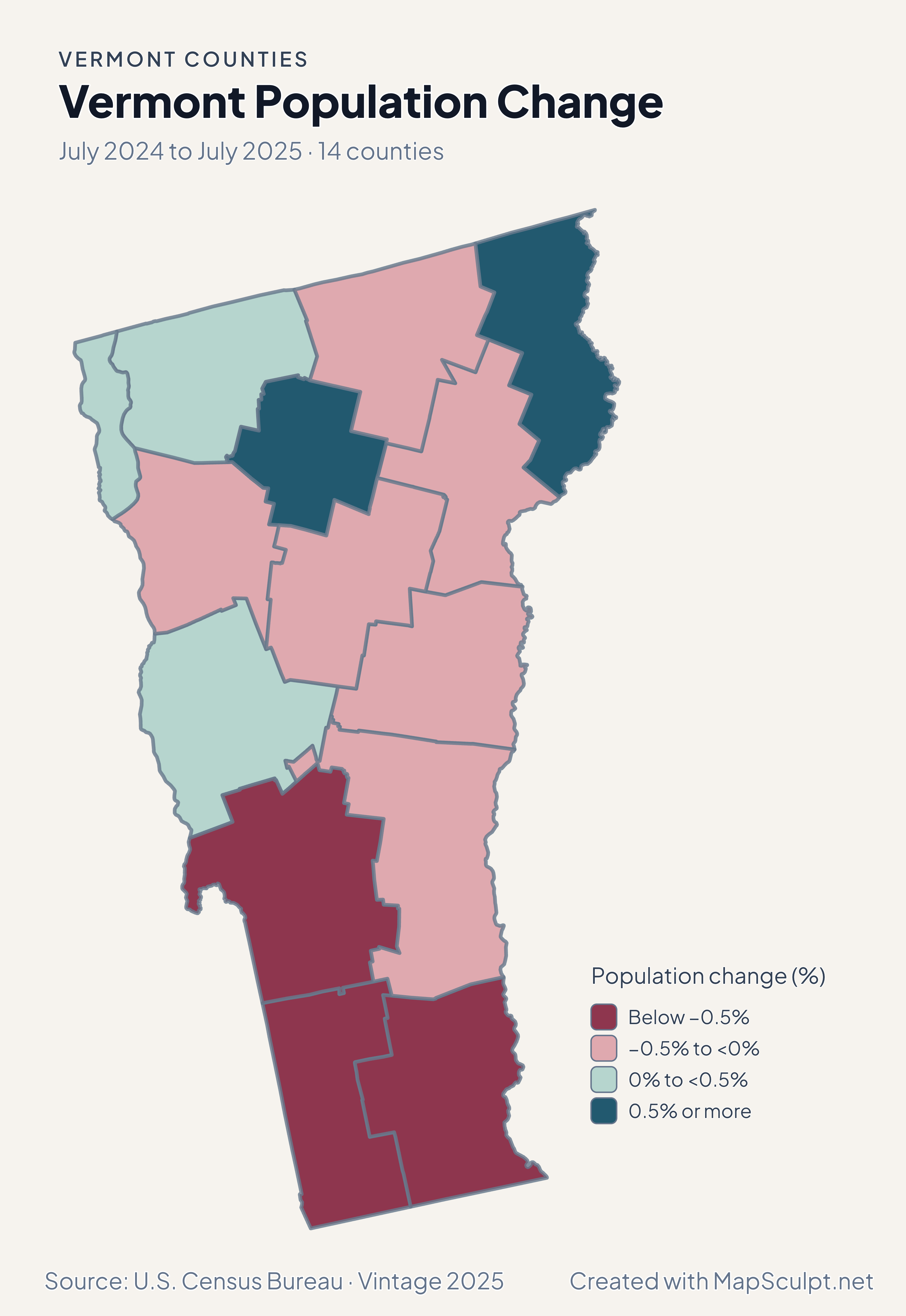
How can I keep Vermont’s north–south outline readable?
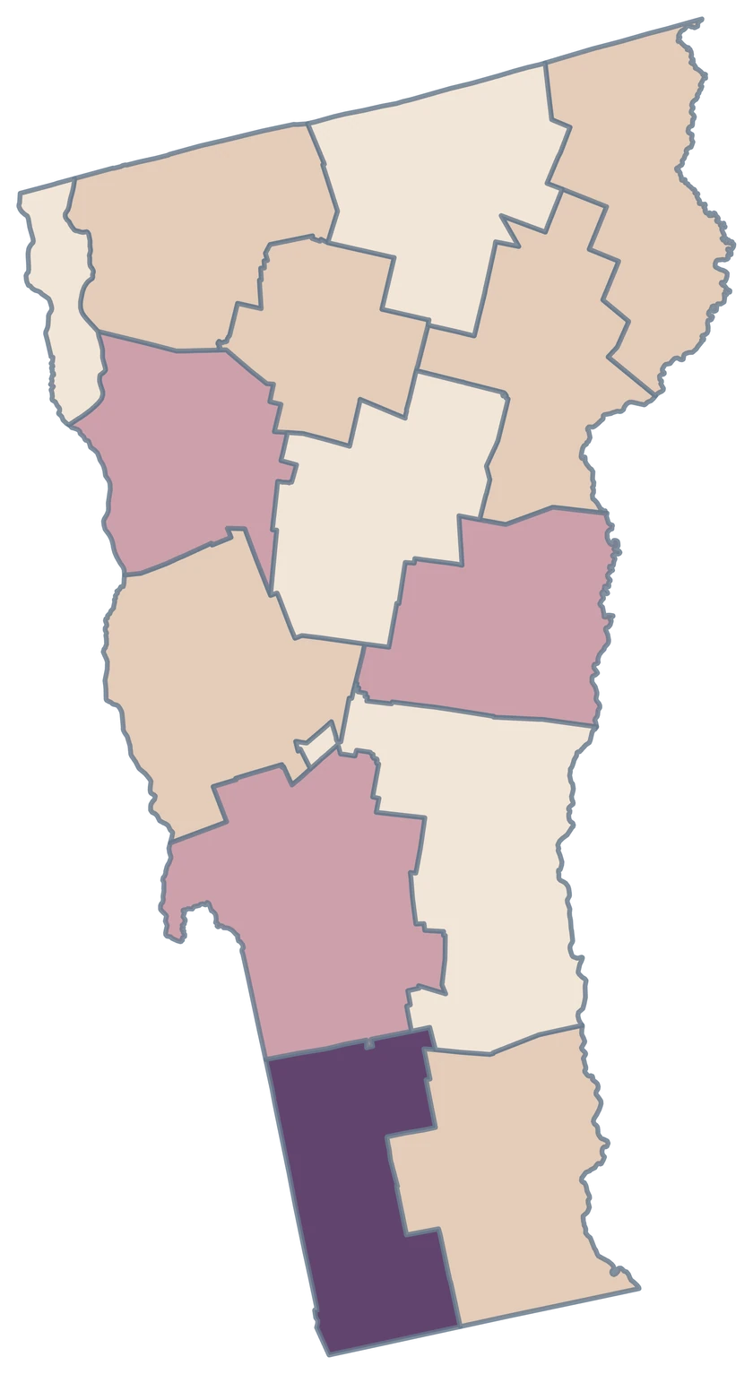
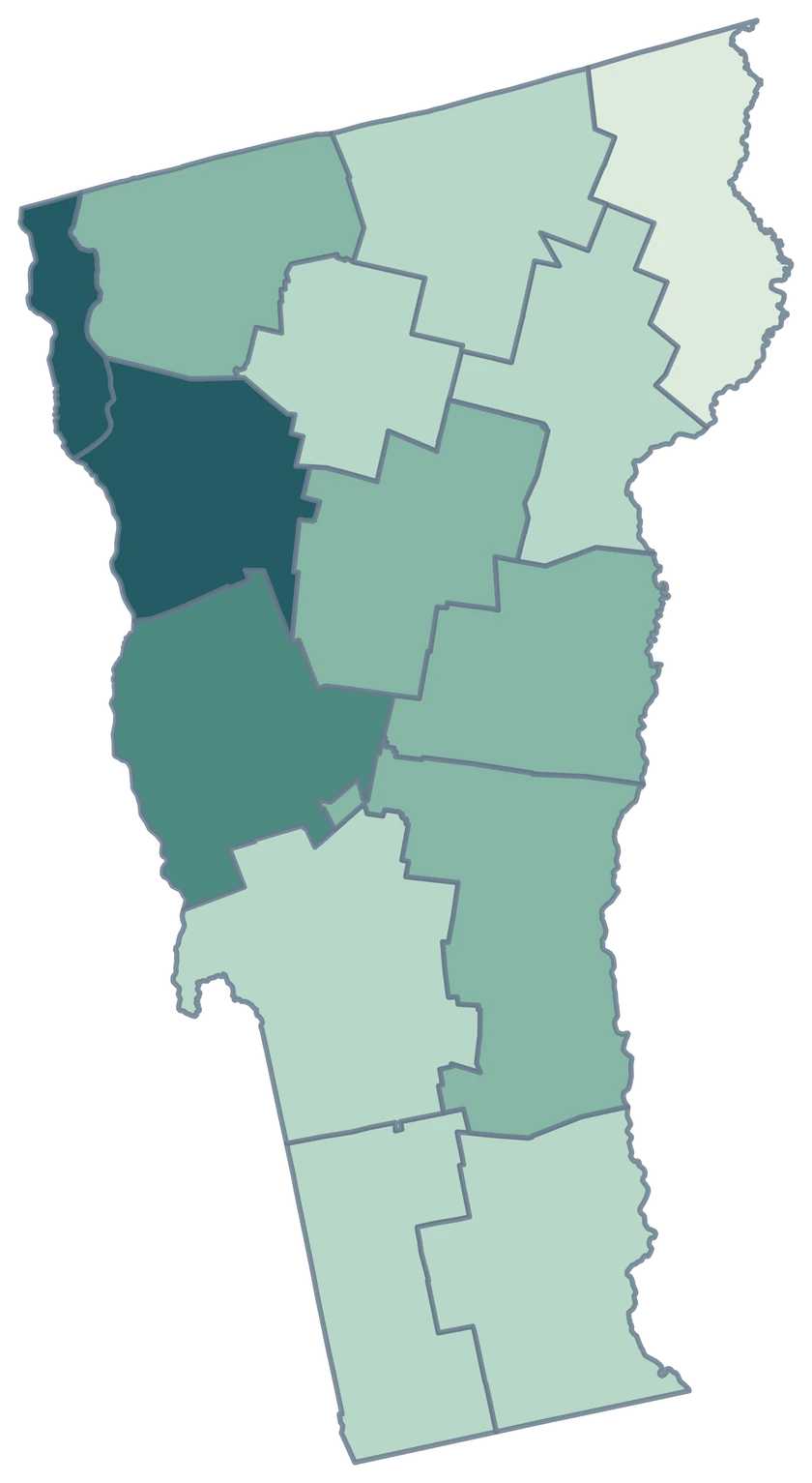
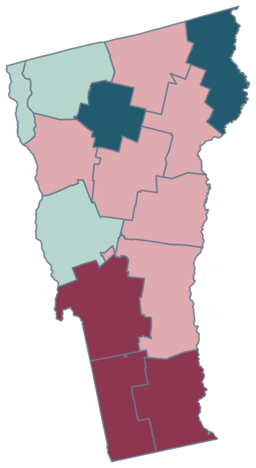
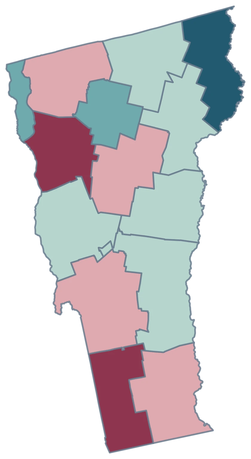
Preview a portrait export with a short legend. Check the Lake Champlain side and the southern edge before downloading.
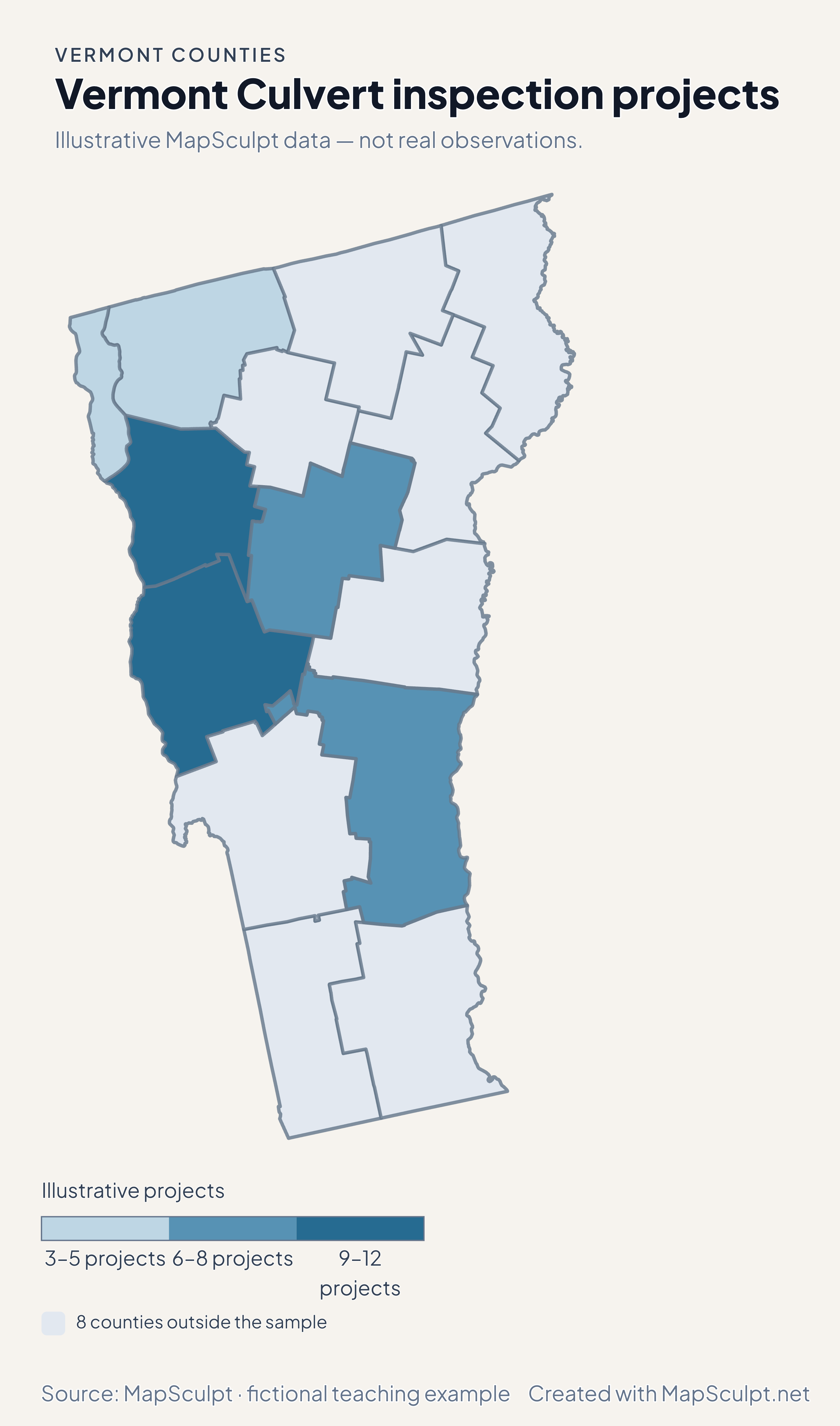
What does a gray county mean in the practice map?
The fictional culvert file leaves that county outside the sample. The gray fill marks sample coverage.