MapSculpt

USA / 50 STATES / MAP MAKERUSA / 50 STATES

US States Map Maker

Color individual US states, build a custom legend and export a polished map for data, travel or election analysis.

Create a US Map

Free browser-based editor · No design experience required

MAP EXAMPLE / 50 STATESCUSTOM COLORED US MAP

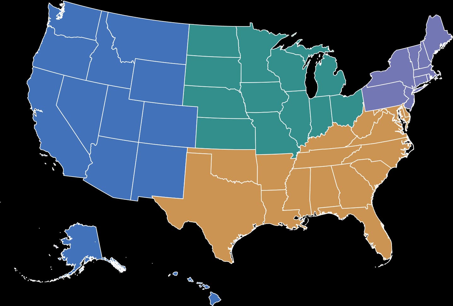
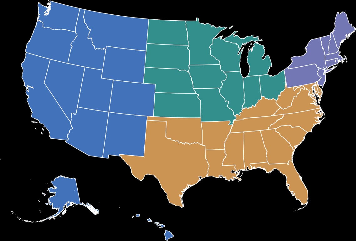
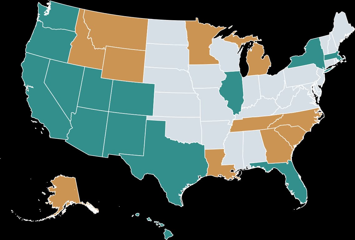
All 50 US states grouped into the four Census regions: West in blue, Midwest in teal, South in gold and Northeast in purple.
  • West
  • Midwest
  • South
  • Northeast
Source: U.S. Census Bureau · Four Census regions

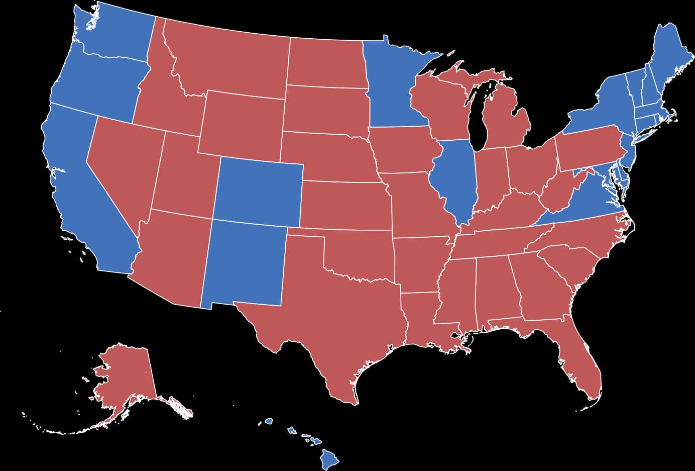
2024 PRESIDENTIAL ELECTION / STATEWIDE WINNERS

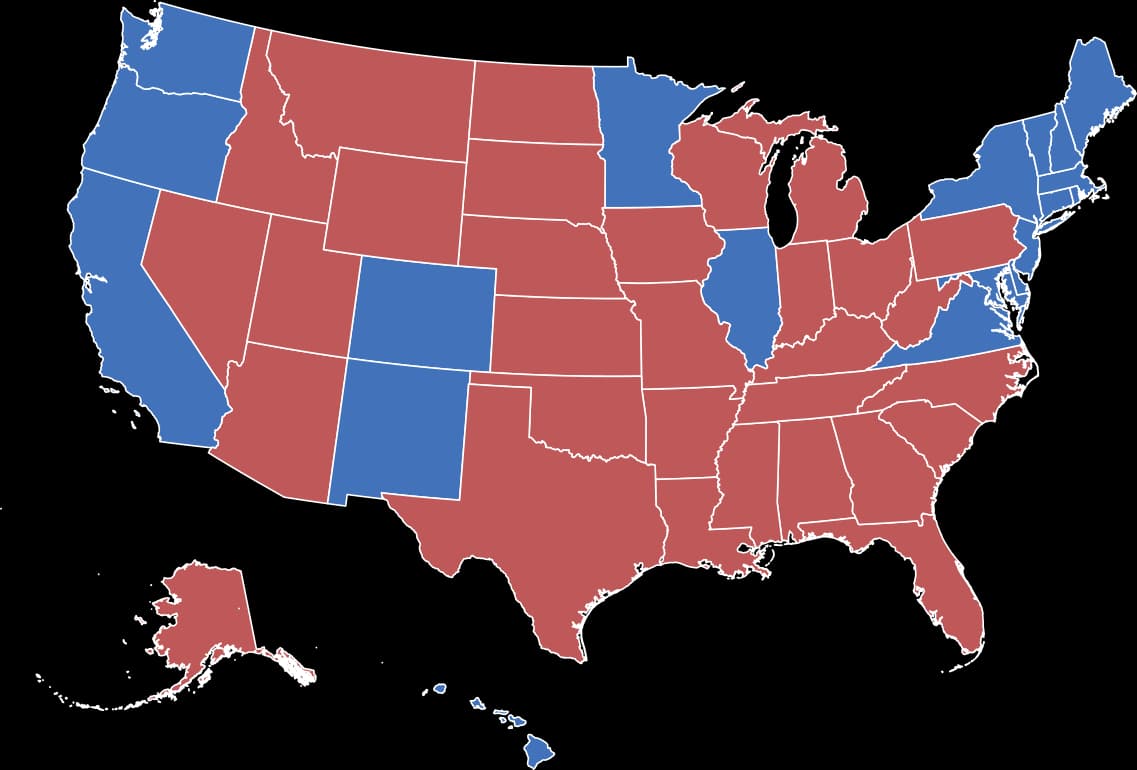
2024 presidential election map of all 50 states: 19 statewide wins for Kamala Harris in blue and 31 for Donald Trump in red; not electoral-vote allocations.
  • Harris (D)
  • Trump (R)
Source: FEC · 2024 certified results

ELECTION MAPS

Color the election, state by state.Create your own election map.

Map presidential results, highlight competitive states, or prepare your own state-by-state Senate and governor comparisons.

The 2024 map shows statewide winners, not electoral-vote counts. Maine and Nebraska split their electoral votes. Congressional districts are not available in this state-level template.

Create your own US election map with custom state-level classifications. Apply your colors manually using verified results or clearly labeled scenarios.

Create your US election map

GET STARTEDHOW IT WORKS

How to color states on a map

Open the US States template, click individual states to color them, create categories and add a legend, then export your map.

  1. 01

    Choose the US map

    Open the US States editor with all state outlines ready to color.

  2. 02

    Color and categorize

    Click states and organize them into descriptive color groups.

  3. 03

    Add the context

    Include a clear map title, an understandable legend and a source.

  4. 04

    Export your map

    Download a crisp PNG ready for a report, article or slide.

BUILT FOR YOUR OWN MAPMAP FEATURES

Control the details without extra software.Customize every detail.

Highlight individual statesHighlight individual states

Select any US state and color it with your own palette.Select any state and color it with your own palette.

Categories & legendCategories and legends

Explain groups with matching colors and concise labels.Explain color groups clearly.

Titles & sourcesTitle and source

Add the context readers need to understand your map.Add useful editorial context.

Map designsDesign presets

Choose an editorial or minimal layout that fits the story.Choose a polished map presentation.

Data storytellingData comparisons

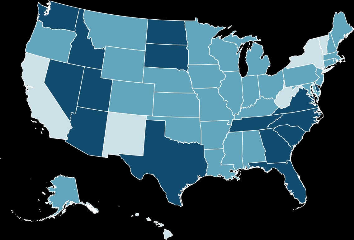
Visualize grouped comparisons and state-level trends.Visualize state-level values or groups.

High-resolution PNGPNG download

Export a polished image for digital or print use.Export a map ready to share.

GEOGRAPHIC COVERAGEABOUT THE MAP

Fifty states. Your own story.50 states. One canvas.

The US States template is built around 50 individually editable state shapes, with Alaska and Hawaii displayed separately from the contiguous states.The US States template covers all 50 US states, with Alaska and Hawaii displayed separately.

WHAT IS INCLUDED

50 US states, including Alaska and Hawaii.

Color each state individually. Washington, D.C. and US territories do not have separately selectable shapes in this template.

Useful for regional comparisons, personal travel maps, and countrywide state classifications.

COMMON QUESTIONS

US states map maker FAQUS map maker FAQ

Can I color individual US states?Can I color individual states?

Yes. Open the US States map editor and choose the states you want to color. Organize them into a clear legend.Yes. Apply colors directly to state shapes.

Can I map 2024 presidential election results?Can I create election maps?

Yes, you can manually color each state by statewide winner. This template does not calculate electoral votes or support congressional district maps.Yes, for state-level classifications; no congressional districts or automatic vote totals.

Can I make a map of states I have visited?Can I map my travels?

Yes. Use different colors for visited, planned and not-yet-visited states.Yes. Create visited, wishlist and other groups.

Can I visualize statistics by state?Can I map statistical data?

Yes. Create a color-coded US map by assigning states to categories based on your data, then add a legend and source to explain the comparison.Yes. Classify states by data and explain your color groups with a legend and source.

Can I download my map?Can I export a map?

MapSculpt supports downloadable PNG maps with titles, legends and optional source attribution.Download your map as PNG.

Does the map include Washington, D.C. or territories?Are D.C. and territories supported?

The US States template includes all 50 states, including Alaska and Hawaii. Washington, D.C. and US territories do not have separately selectable shapes.This template covers the 50 states. D.C. and US territories do not have separately selectable shapes.

Can I create maps for r/MapPorn, r/dataisbeautiful, r/europe and other Reddit communities?Can I create maps for r/MapPorn, r/dataisbeautiful, r/europe and other Reddit communities?

Yes. MapSculpt lets you create custom maps for data visualizations, geographic comparisons and original map posts. You can color countries or regions using, for example, Eurostat data or other official sources, add a clear title, legend and source, and download your map as a high-resolution PNG. For communities such as r/MapPorn, r/dataisbeautiful, r/europe and other subreddits, use accurate data, explain your methodology where needed, and check each community’s posting rules before submitting.Yes. MapSculpt lets you create custom maps for data visualizations, geographic comparisons and original map posts. You can color countries or regions using, for example, Eurostat data or other official sources, add a clear title, legend and source, and download your map as a high-resolution PNG. For communities such as r/MapPorn, r/dataisbeautiful, r/europe and other subreddits, use accurate data, explain your methodology where needed, and check each community’s posting rules before submitting.

READY TO BUILD YOUR MAP?YOUR MAP STARTS HERE

Put your perspective on the United States.Make a map of the US.

Start with 50 editable states. Make it yours and download the result.Choose a color, tell your story and export it.

Create a US Map