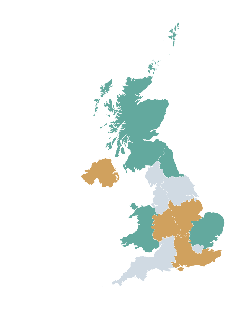
How can I colour a map of UK regions online?
Open the UK Regions editor, colour each area, add a title and legend, then download your map as a PNG.
How many regions are there in the UK?
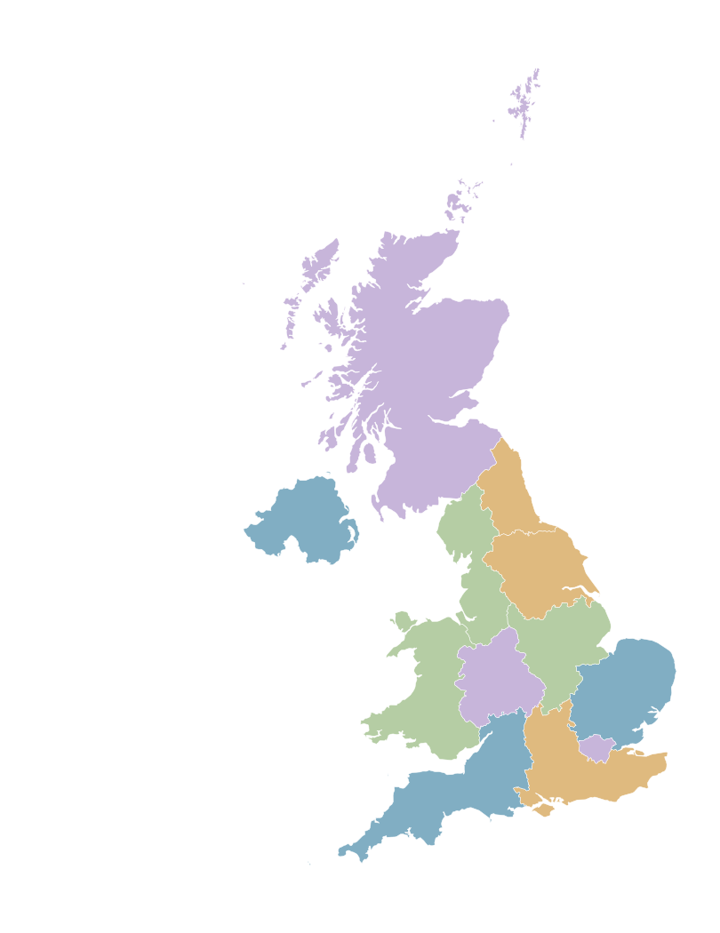
This map covers 12 ITL1 statistical areas: nine English regions, Scotland, Wales and Northern Ireland.
What's the difference between UK regions and counties?
Counties and local authorities are more detailed geographic units. They are not individually selectable using this template.
Can I create a blank UK regions map?
Yes. Start with neutral colours and visible boundaries, then customise the map to suit your project.
Can I create a map of GDP per head across UK regions?
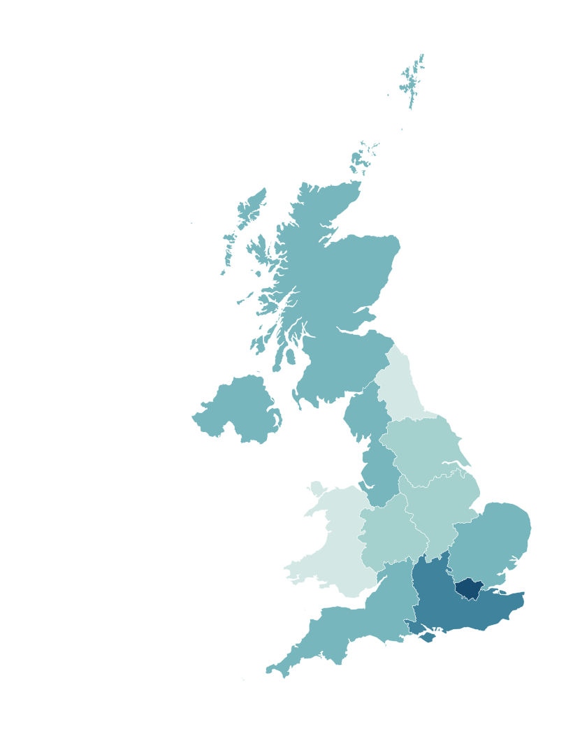
Yes. Colour the areas using official regional GDP figures from ONS, clearly labelling the year, pounds-per-head unit and source.
Can I create UK house price or unemployment maps?
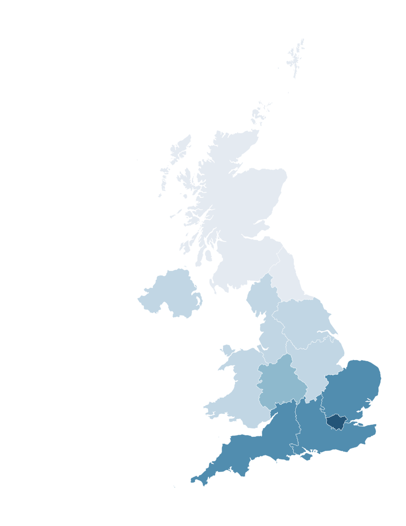
Yes. Compare official regional figures, label the period, and note Northern Ireland's different house-price reporting period.
Can I colour the nine regions of England separately?
Yes. All nine English regions are individually selectable, alongside Scotland, Wales and Northern Ireland.
Can I create maps for r/MapPorn, r/dataisbeautiful, r/europe and other Reddit communities?
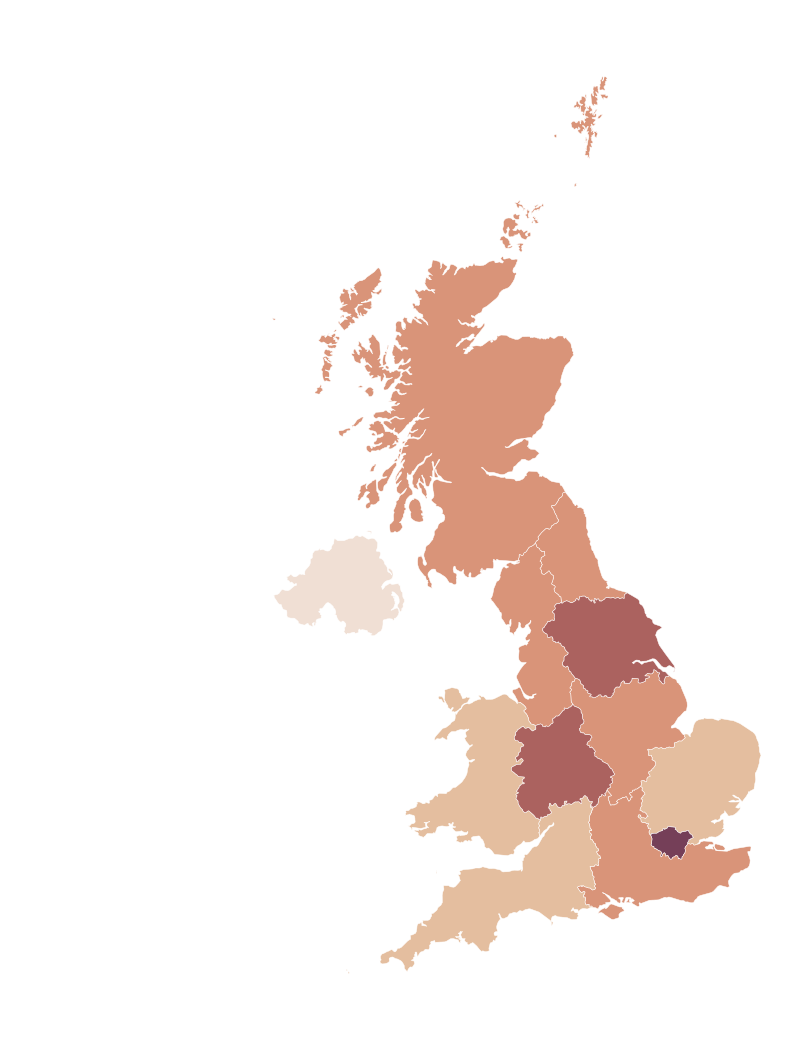
Yes. MapSculpt lets you create custom maps for data visualisations, geographic comparisons and original map posts. You can colour UK regions using, for example, ONS data or other official sources, add a clear title, legend and source, and download your map as a high-resolution PNG.
For communities such as r/MapPorn, r/dataisbeautiful, r/europe and other subreddits, use accurate data, explain your methodology where needed, and check each community's posting rules before submitting.
Can I download my UK regions map as a PNG?
Yes. Export a high-resolution PNG, including a title, legend and source where useful.