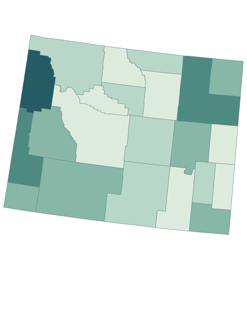
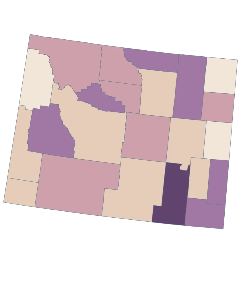
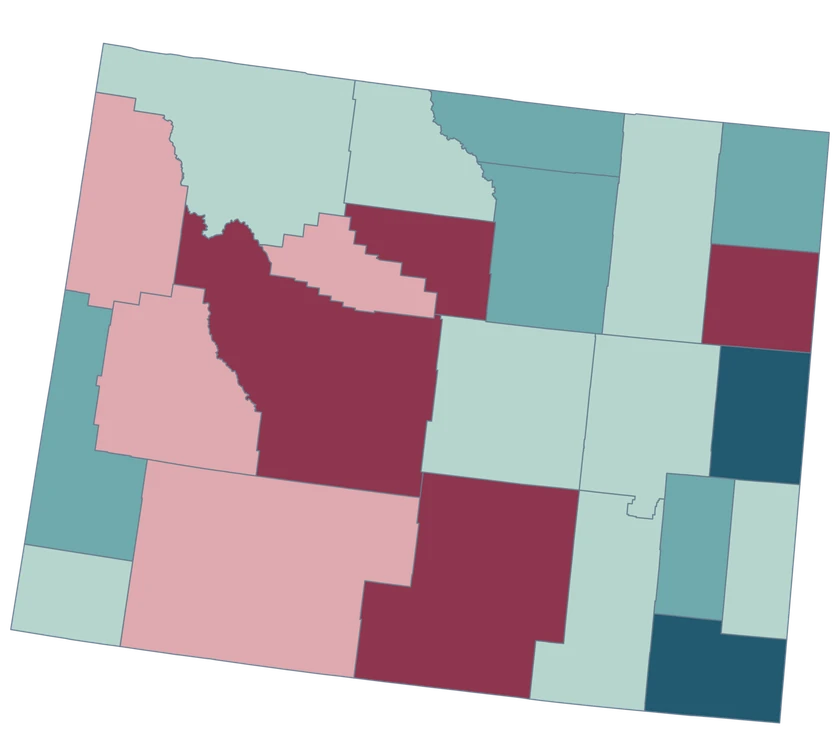
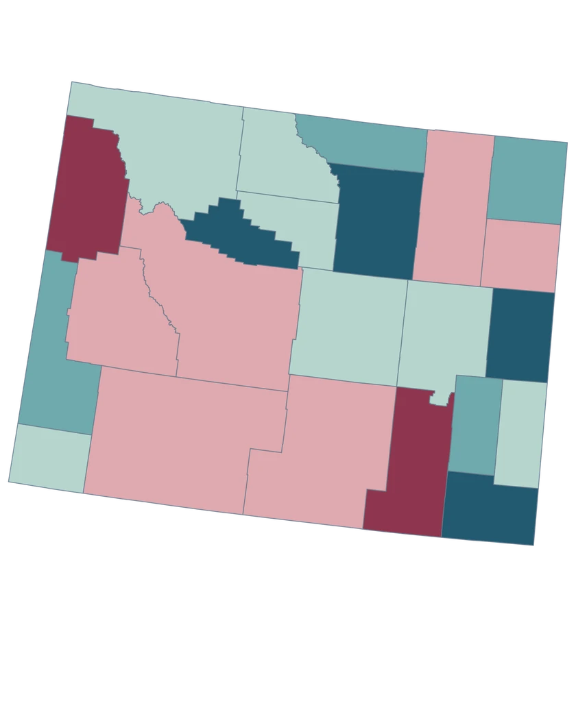
Which county GEOID covers the Cheyenne area?
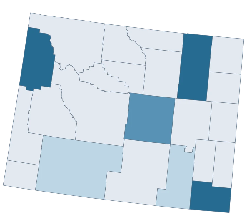
Laramie County is 56021. A Cheyenne city record covers a smaller area than this county shape.
Does the city of Laramie use the same county GEOID?
Use Albany County, 56001, for county data around the city of Laramie. Laramie County is a separate county farther east.
What county should I use for the Casper area?
Use Natrona County, GEOID 56025, for the county-level geography.
Can I use this map to show national park boundaries?
Use a park-boundary source for park coverage. County shapes are appropriate for the Census estimates on this page.
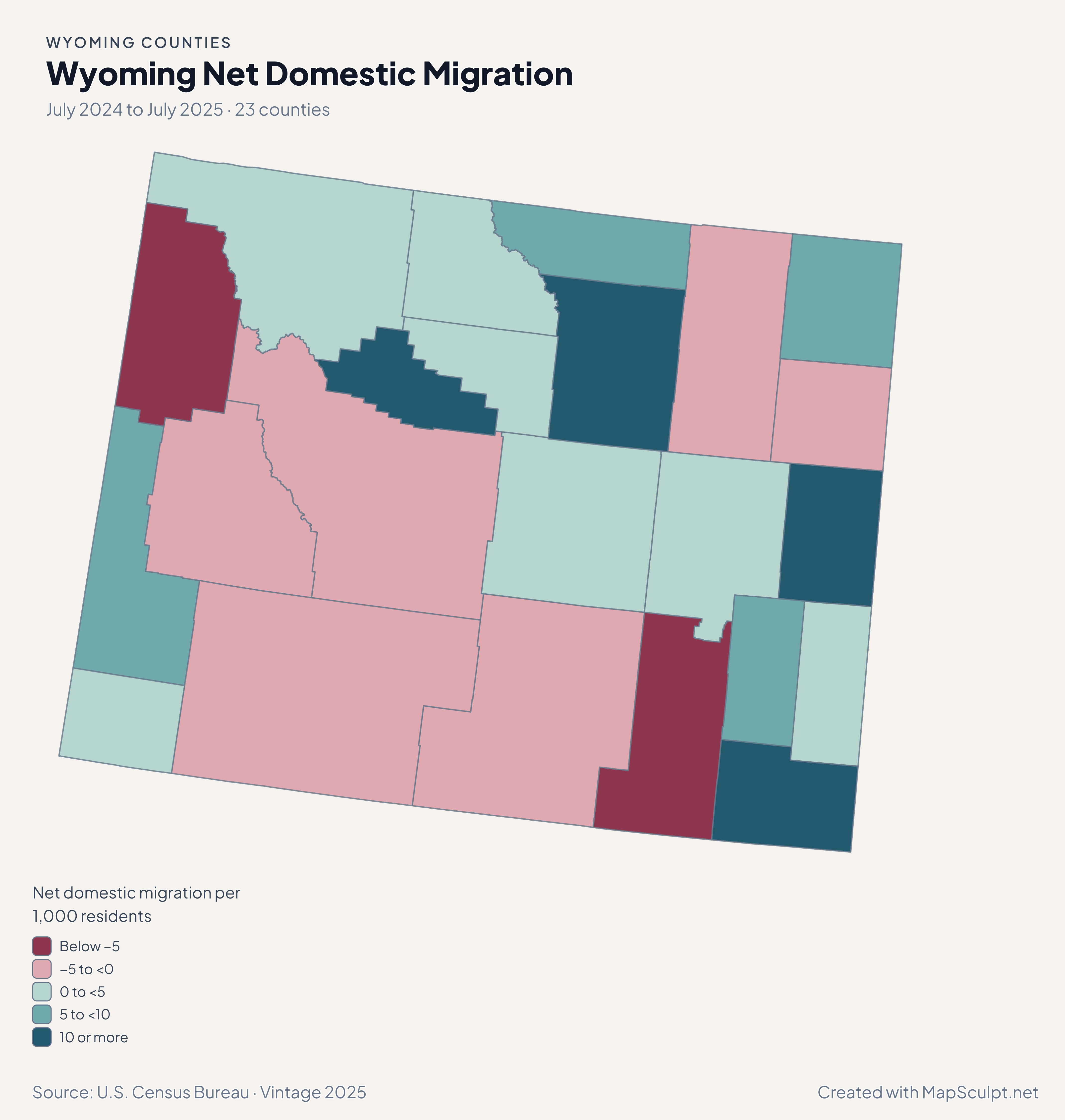
Why can a small county have a high migration rate?
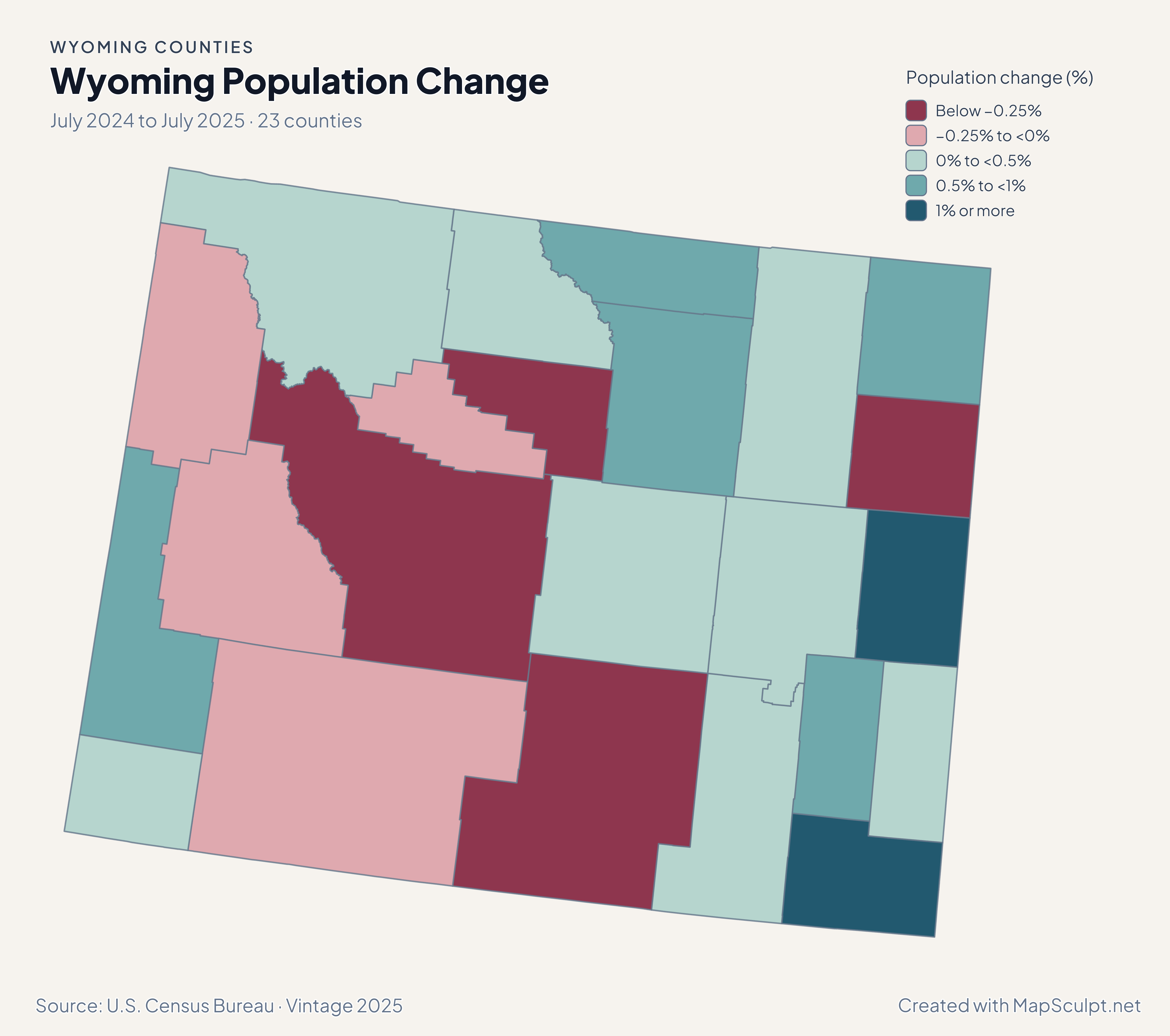
The measure scales a net count by the county population. A small number of moves can have a large effect on the rate.
Can county household income tell me what an individual earns?
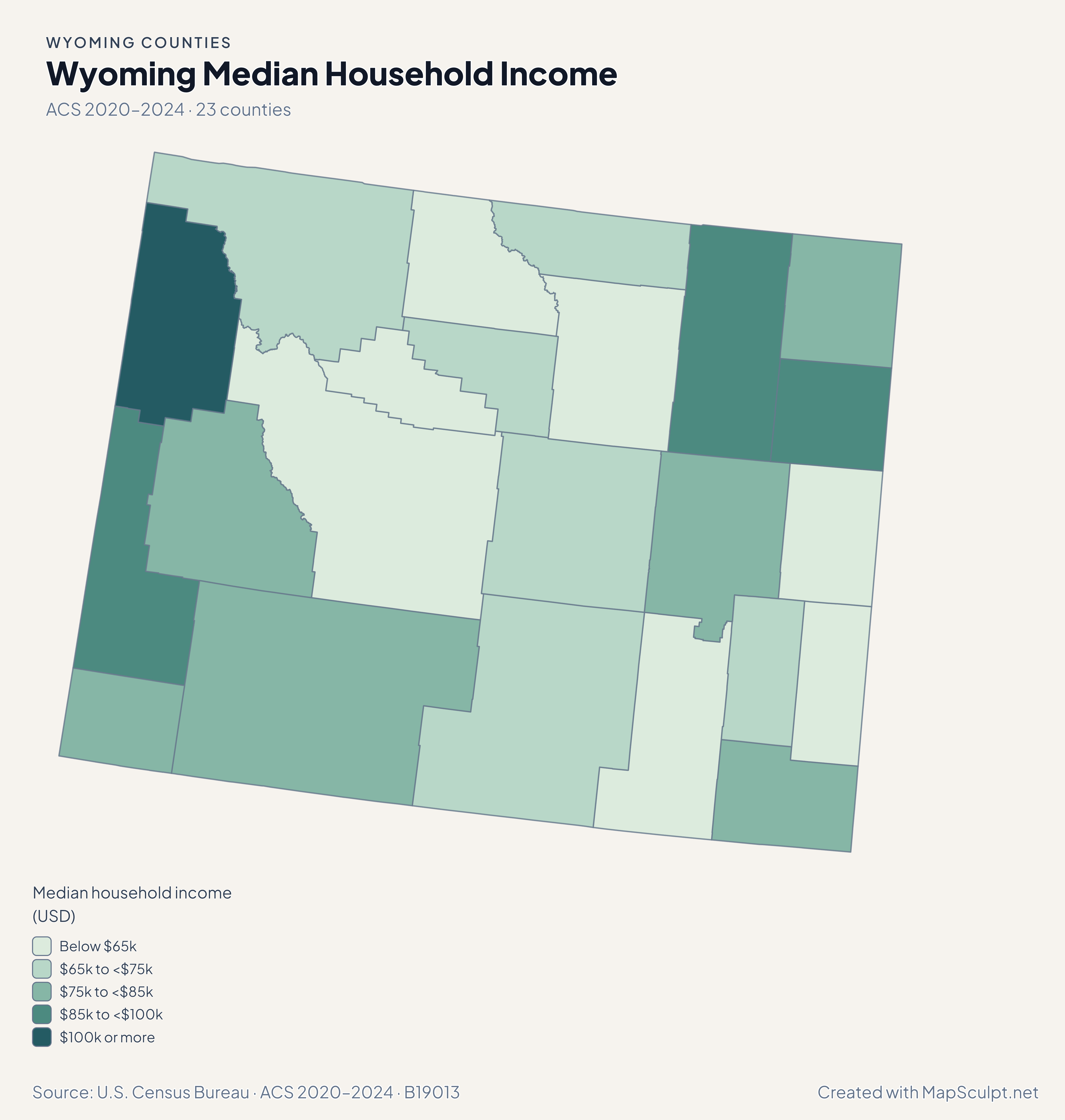
It combines income across household members and reports the household median. Use a source for individual earnings if that is your question.