Custom colours
Use quick colours, the colour picker, or a hex value.


Norway · Counties (fylker)
Create a free custom map of Norway's 15 counties (fylker), often searched for as Norway regions. Colour each county, add a title and legend, and export a polished PNG.
15 selectable counties High-detail coastline PNG export
Use quick colours, the colour picker, or a hex value.
Add context directly to the map before exporting.
Apply built-in Norway groupings when they match your story.
Paint, erase, pan, zoom, and fine-tune the map in the editor.
Download a finished map ready for reports, slides, and the web.
Workflow guide
The same MapSculpt workflow, focused on the Norway canvas.
Jump straight into the existing Norway Counties editor.
Pick a preset colour or use the custom colour picker or a hex value.
Select the individual counties that matter, or apply a regional grouping.
Add a title and legend, position them on the canvas, then export your PNG.
About this map
MapSculpt's Norway map includes all 15 current counties (fylker), from Østfold and Oslo in the southeast to Troms and Finnmark in the north. Each county can be coloured independently, with built-in groupings for Eastern, Southern, Western, Trøndelag, and Northern Norway.
Use it to build choropleth-style maps, compare county-level data, highlight geographic patterns, or create presentation-ready graphics for reports, research, education, and data storytelling.
Keep exploring
Open MapSculpt's Norway counties map and click the county you want to color. You can choose different colors, create color categories, and add a legend.
Norway has 15 counties. The current county structure took effect on January 1, 2024, when several previously merged counties were divided again.
Yes. The map shows all 15 counties in Norway's current administrative division, including Østfold, Akershus, and Buskerud, which became separate counties again in 2024.
Yes. You can download the finished map as a PNG image and use it in presentations, reports, or educational materials.
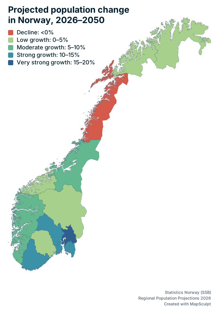
Yes. You can manually color counties based on population trends or other regional differences and add a legend explaining what the colors mean.
Yes. You can color counties individually or use MapSculpt's built-in regional groupings to color several areas at once.
Yes. MapSculpt lets you create custom maps for data visualizations, geographic comparisons and original map posts. You can color countries or regions using, for example, Eurostat data or other official sources, add a clear title, legend and source, and download your map as a high-resolution PNG. For communities such as r/MapPorn, r/dataisbeautiful, r/europe and other subreddits, use accurate data, explain your methodology where needed, and check each community’s posting rules before submitting.
Ready to map Norway?
Open the Norway Counties canvas and start colouring the counties that matter to your story.