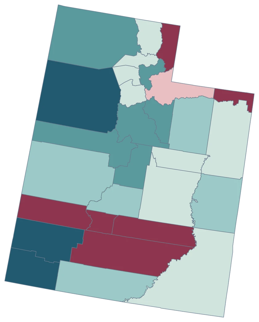
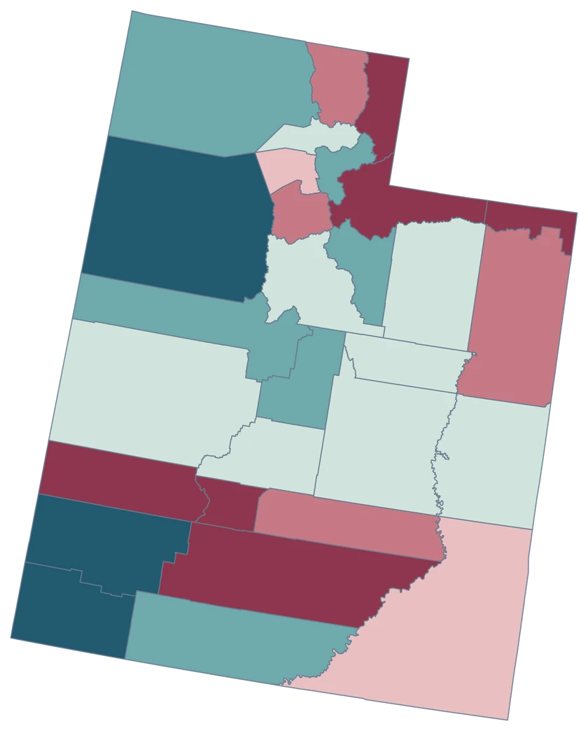
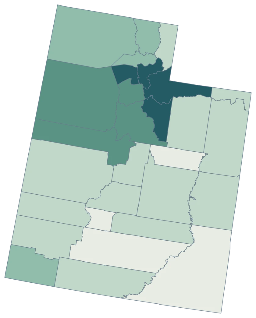
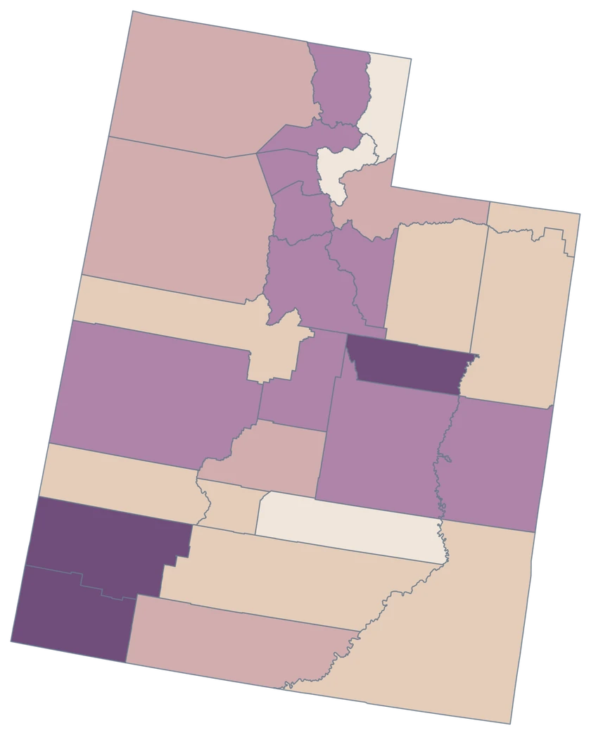
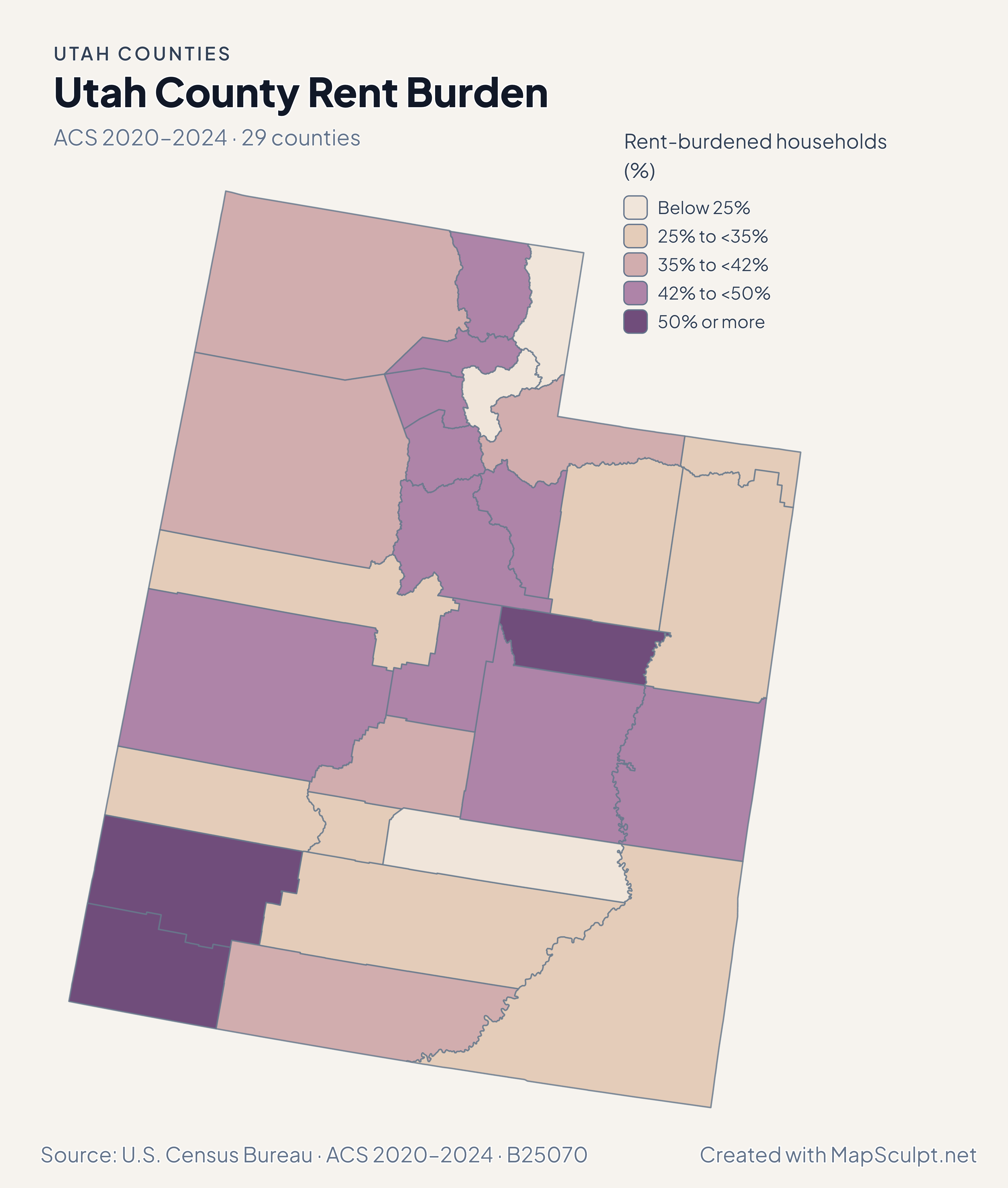
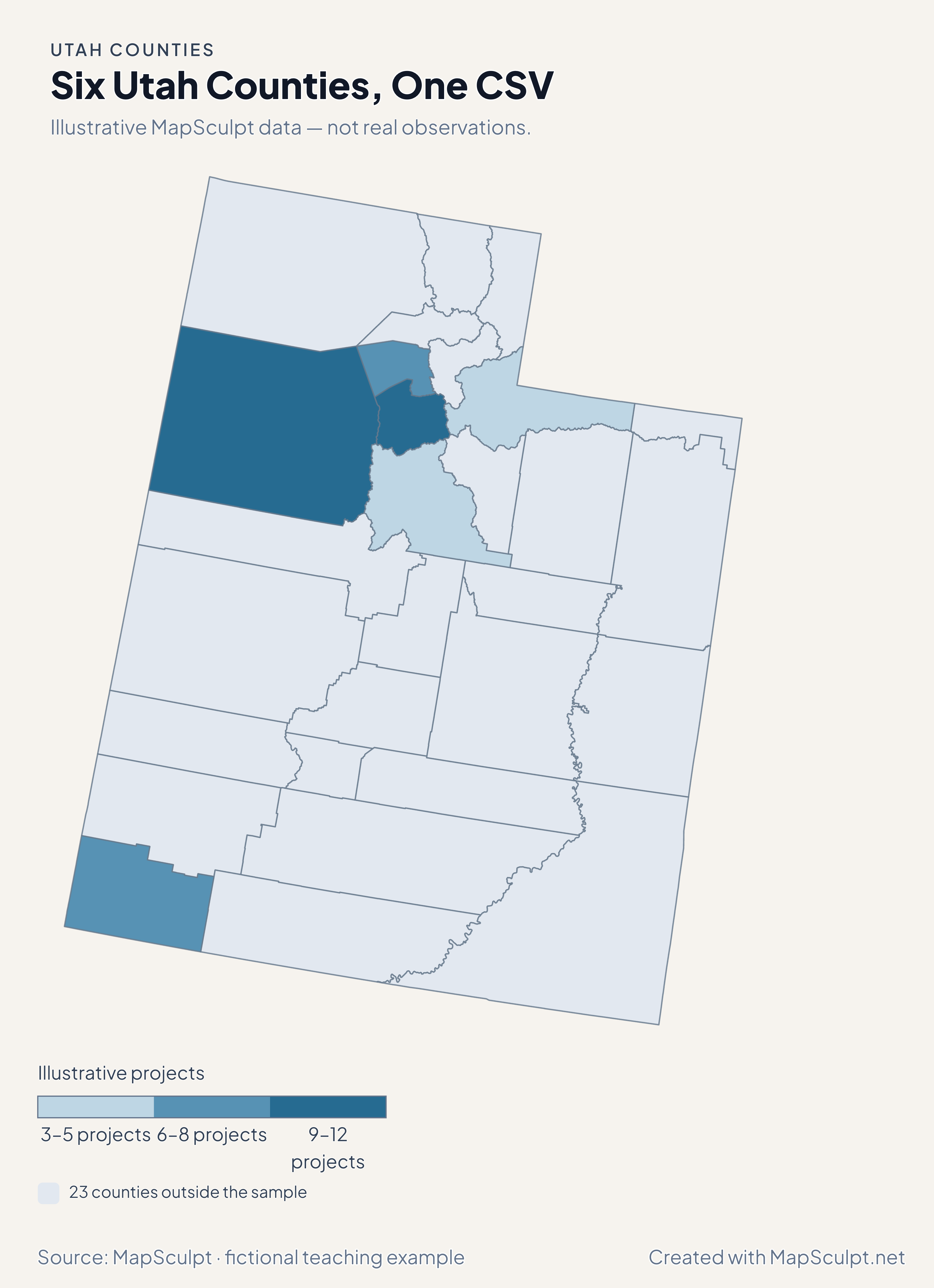
Which Utah GEOID represents Salt Lake City on this map?
Use 49035 for Salt Lake County. Compare it with city-only figures only after checking that the geographic units are compatible.
How do I distinguish the state of Utah from Utah County in my CSV?
Use 49049 for Utah County. A column of five-digit Census county GEOIDs makes that distinction explicit.
Does the map trace the latest Great Salt Lake shoreline?
It uses generalized 2025 Census county outlines. Lake extents vary over time, so use a dated hydrography source for shoreline analysis.
Can I highlight the Wasatch Front as a region?
You can give the counties you include a shared fill and add a legend label. Define the set in your source notes so readers know what you included.
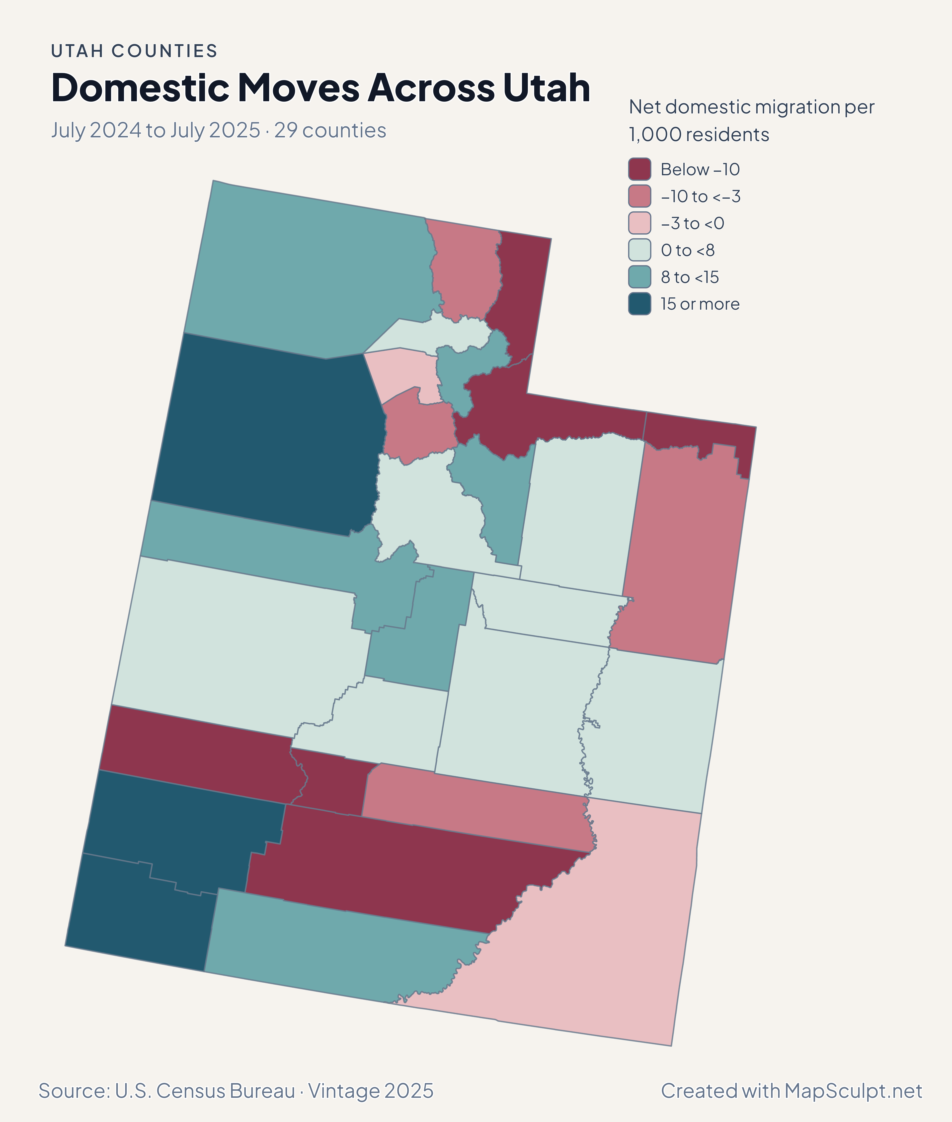
How can Salt Lake County grow despite net domestic out-migration?
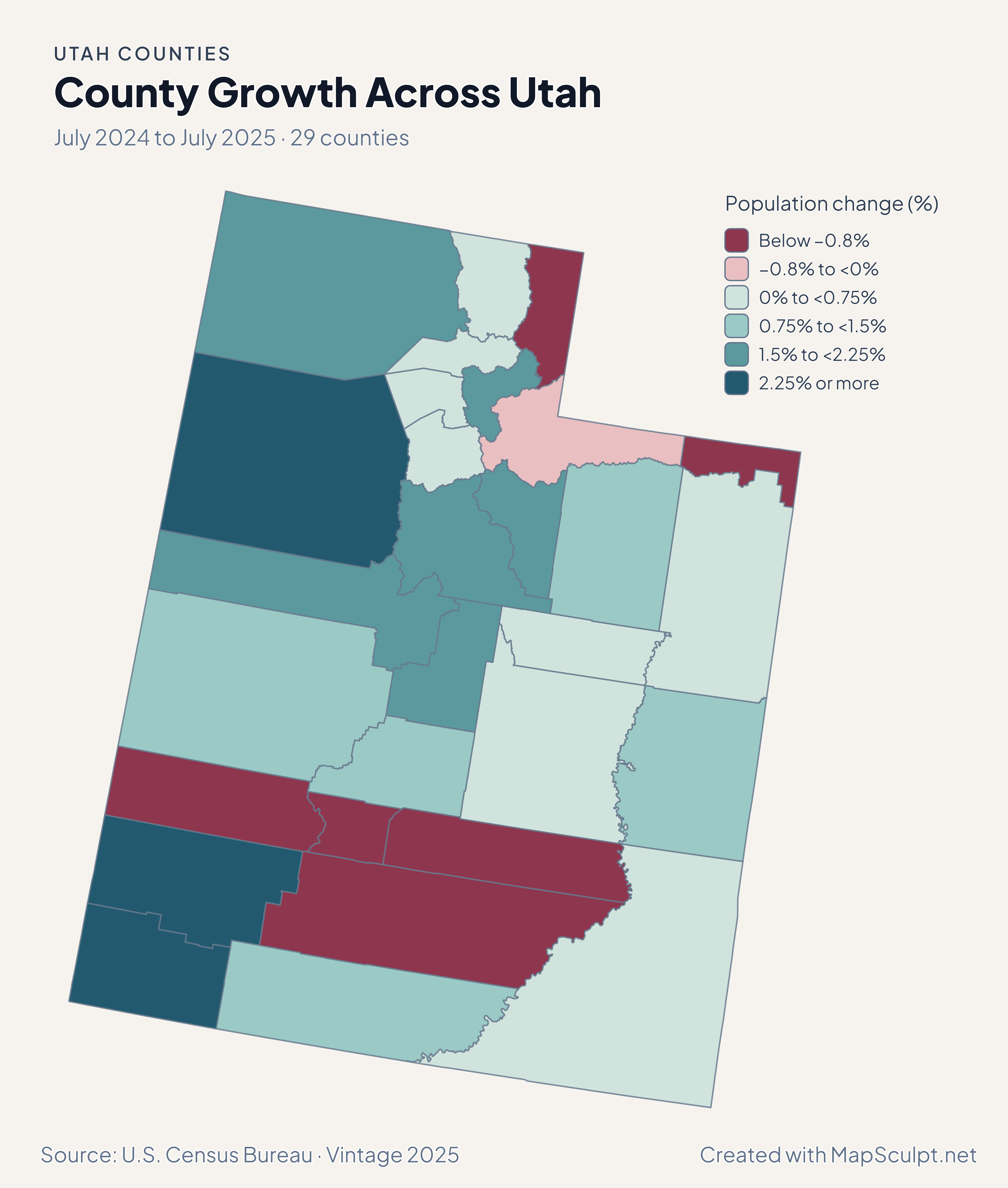
Overall population change also reflects births, deaths and international migration. Use the total-change layer for growth and the domestic layer for moves within the United States.
How do I show Washington County without confusing it with Washington State?
Use the Utah editor and assign 49053 in the GEOID column. Include “Utah” and the reference period in the exported map title.