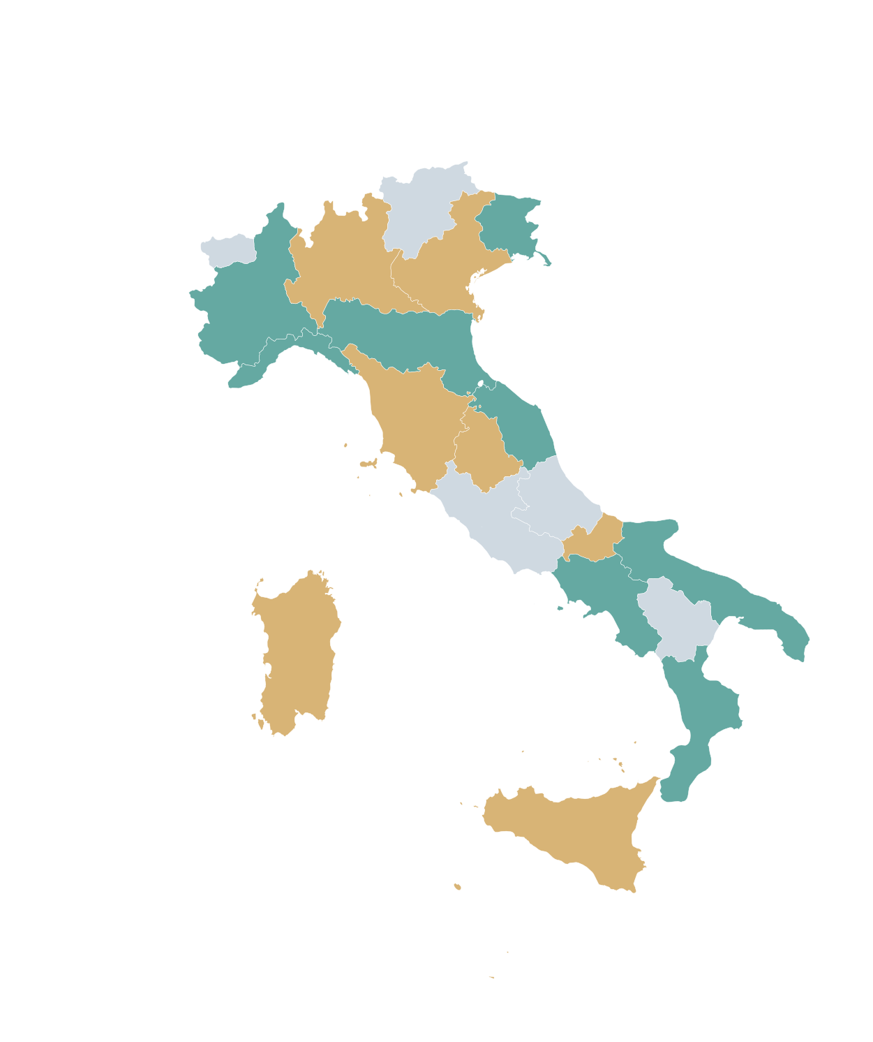
How can I color Italy's regions online?
Open MapSculpt's 20-region Italy template, choose your colors, add a title and legend, and download your map as a PNG.
How many regions does Italy have?
Italy is divided into 20 regions. All 20 can be edited individually in MapSculpt, including Sicily and Sardinia.
Can I create a blank map of Italy's regions?
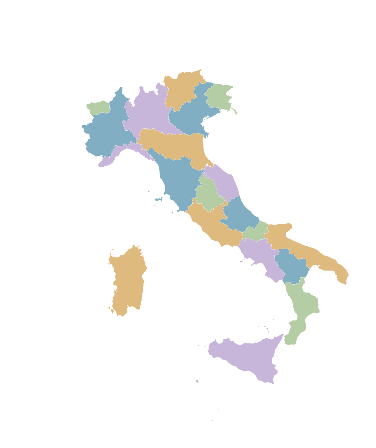
Yes. Start with a map showing regional boundaries and neutral colors, then customize its appearance to suit your needs.
Can I create a map of GDP per capita by region?
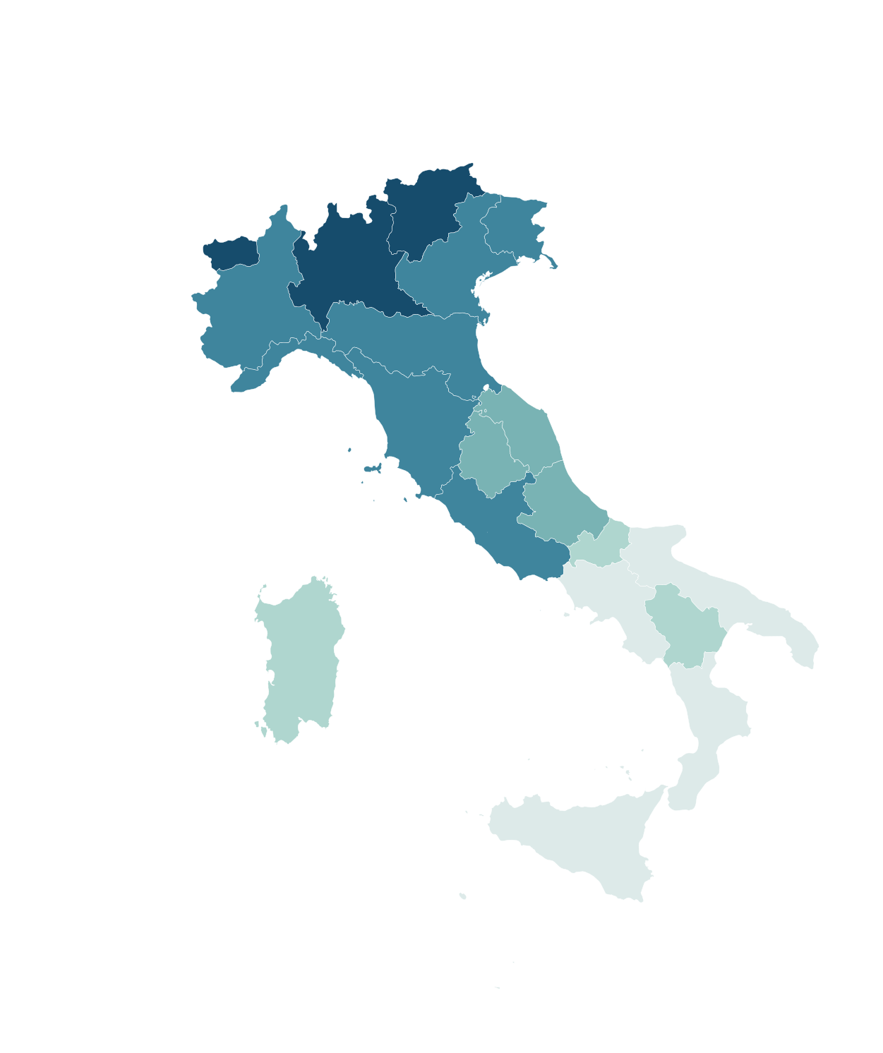
Yes. Group regions into value ranges using official data. Remember that GDP per capita is not the same as the average salary.
Can I create a population map of Italy by region?
Yes. Color regions according to population figures or demographic changes, making sure to specify the reference year and units.
Can I color Northern, Central, and Southern Italy differently?
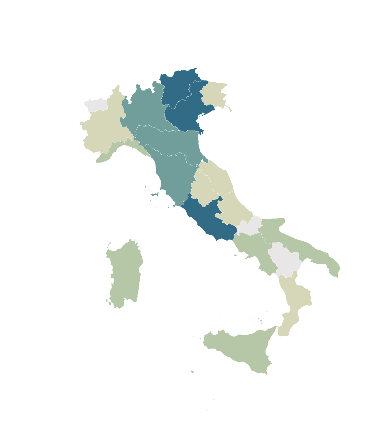
Yes. Assign different colors to geographic groups and include a legend. You can use ISTAT's official statistical macro-regions as your reference.
Can I create a map of the Italian regions I've visited?
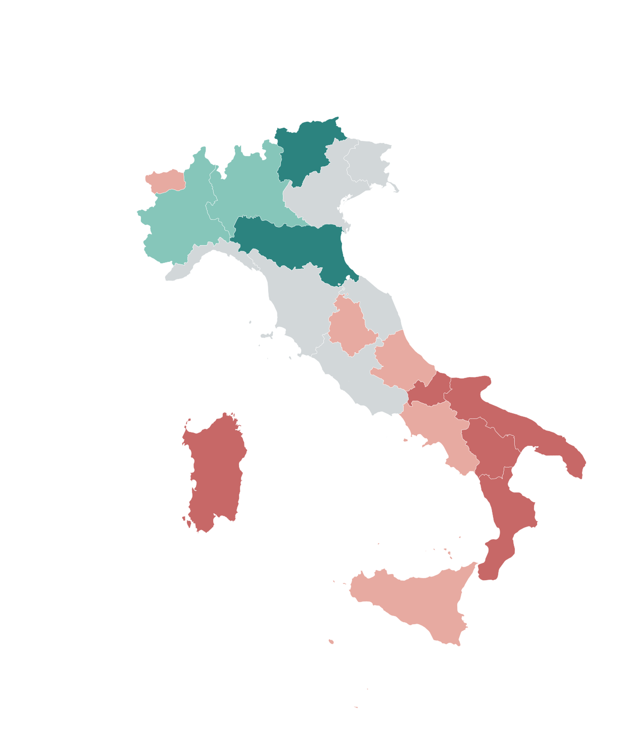
Yes. Create categories such as Visited, Want to Visit, and Other Regions, then assign different colors to keep track of your travels.
Can I create maps for r/MapPorn, r/dataisbeautiful, r/europe, and other Reddit communities?
Yes. MapSculpt lets you create custom maps for data visualization, geographic comparisons, and original map posts.
For example, you can color countries or regions using data from ISTAT, Eurostat, or other official sources, add a clear title, legend, and source, and download your map as a high-resolution PNG.
For communities such as r/MapPorn, r/dataisbeautiful, r/europe, and other subreddits, use accurate data, explain your methodology when necessary, and check each community's posting rules before publishing.
Can I download my Italy map as a PNG?
Yes. Export your customized map as a high-resolution PNG, including a title, legend, and data source where needed.