FREQUENTLY ASKED QUESTIONS
Mexico map questions, answered.
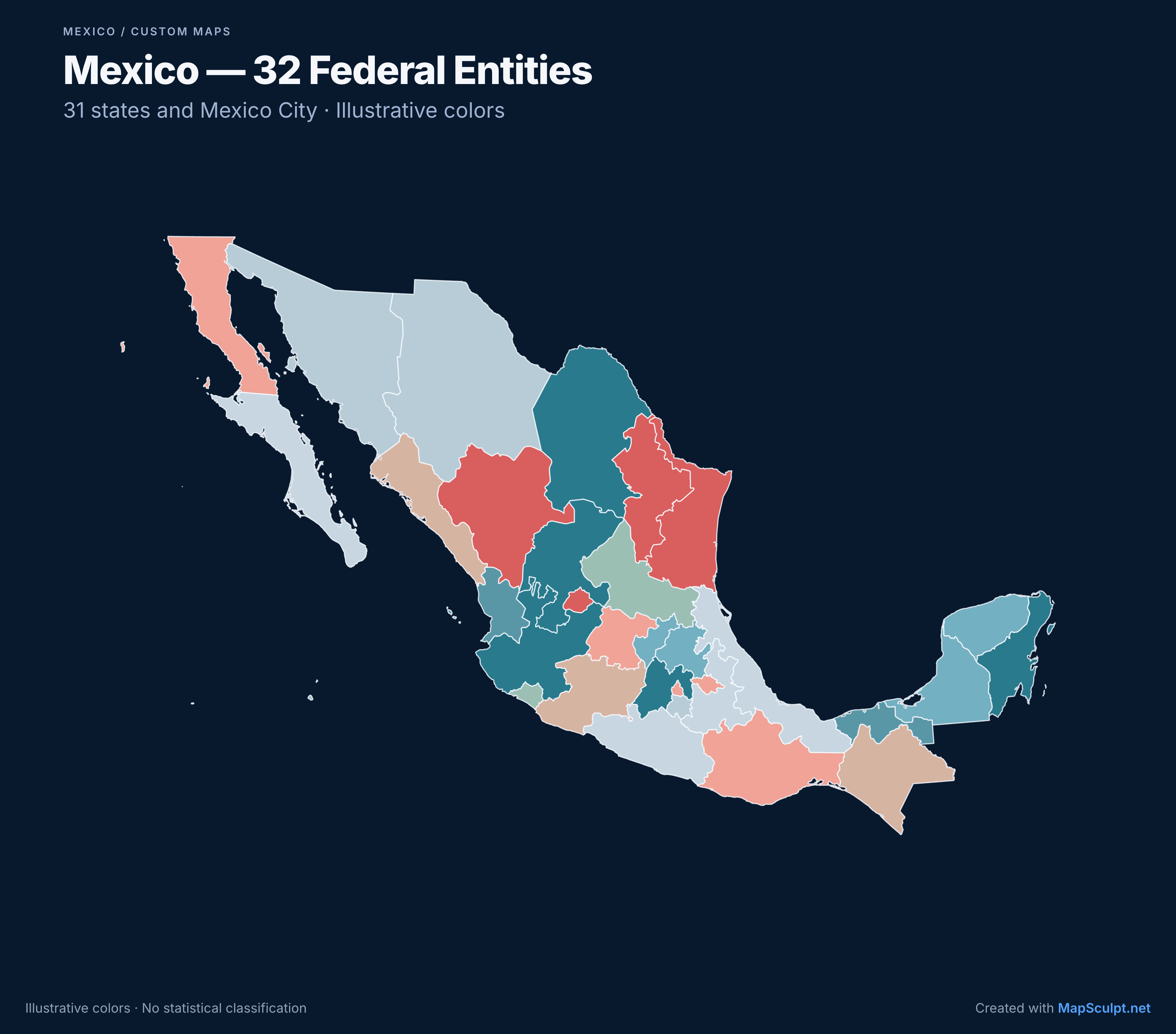
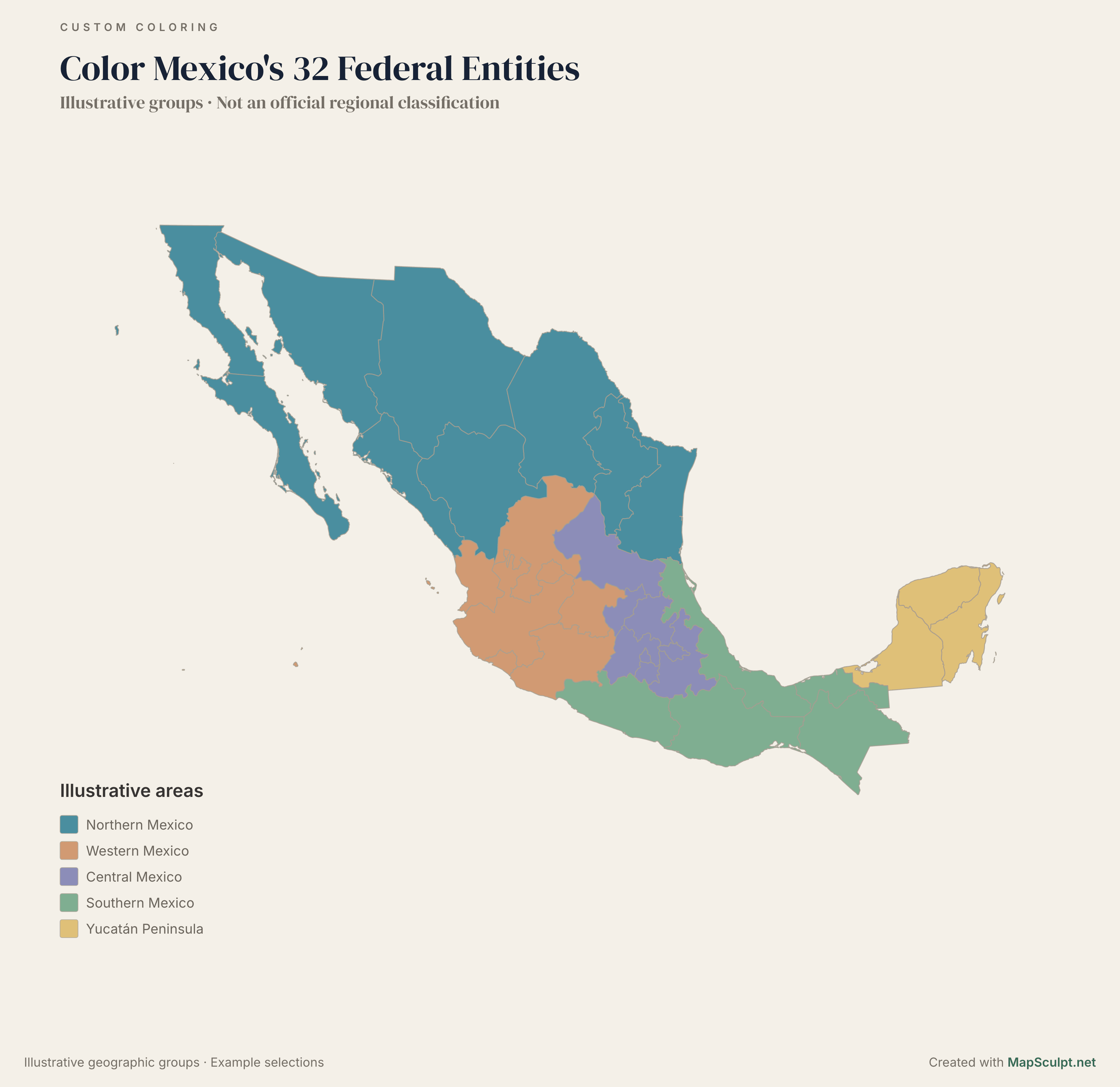
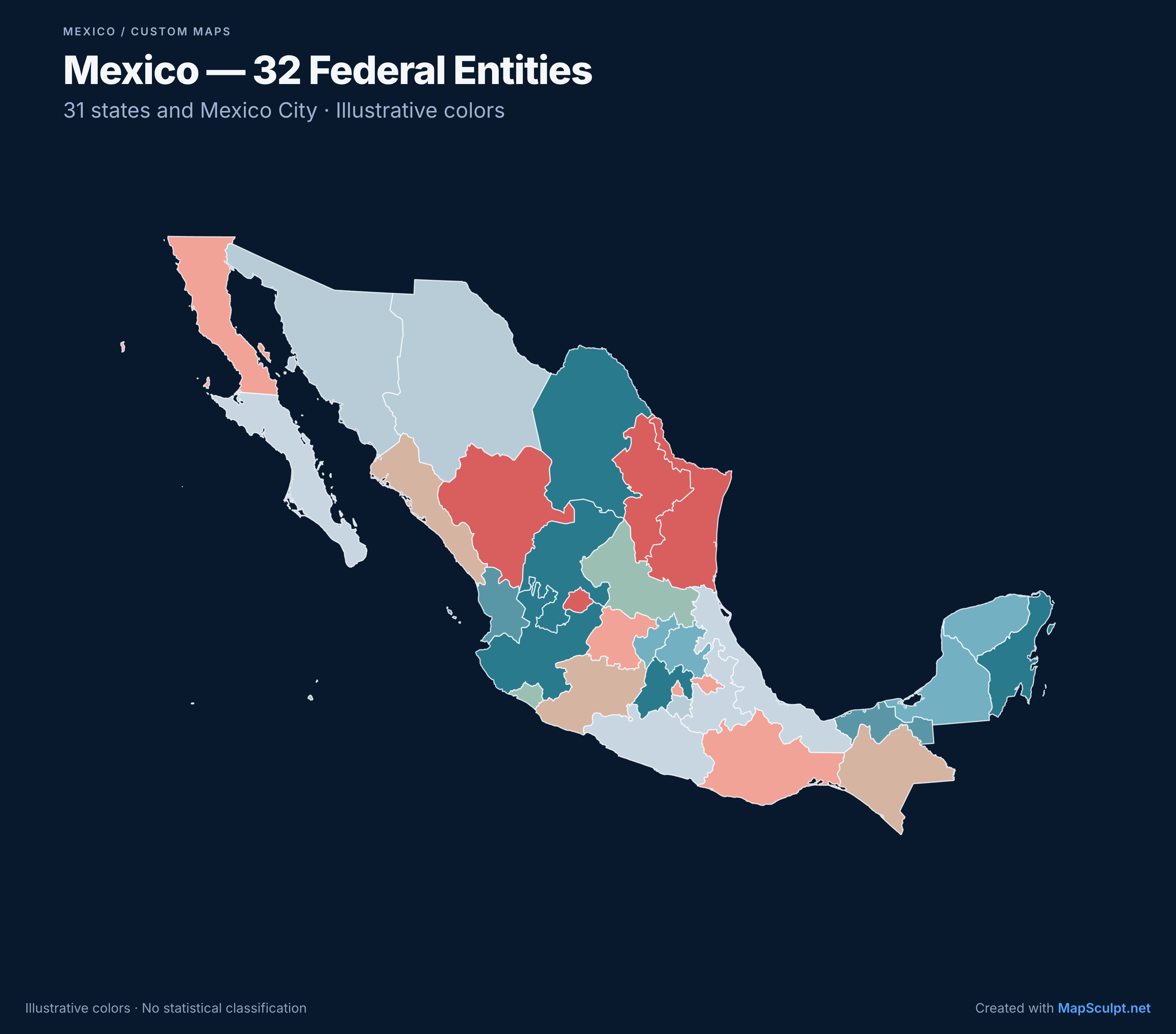
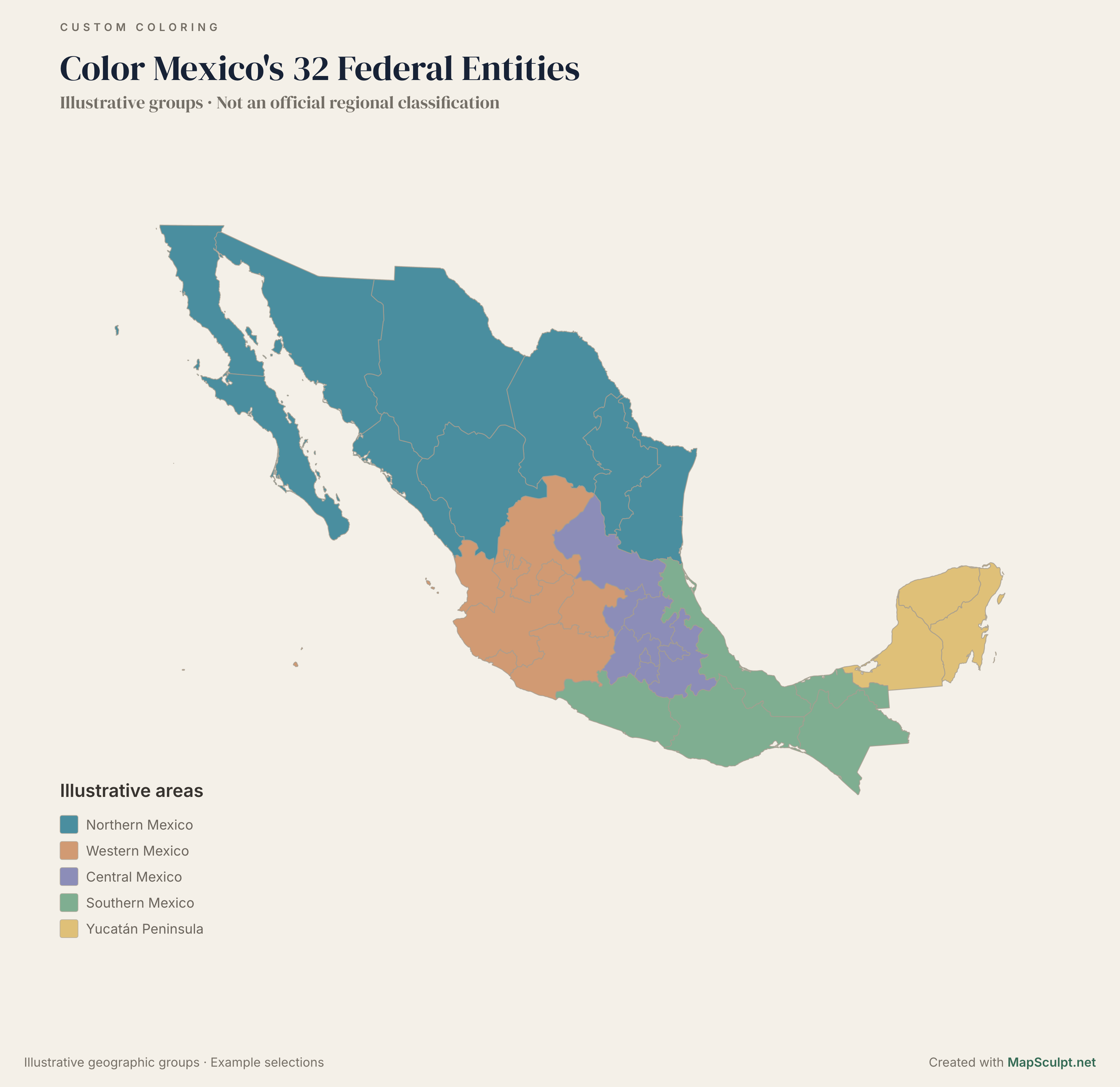
How can I color a map of Mexico by state?
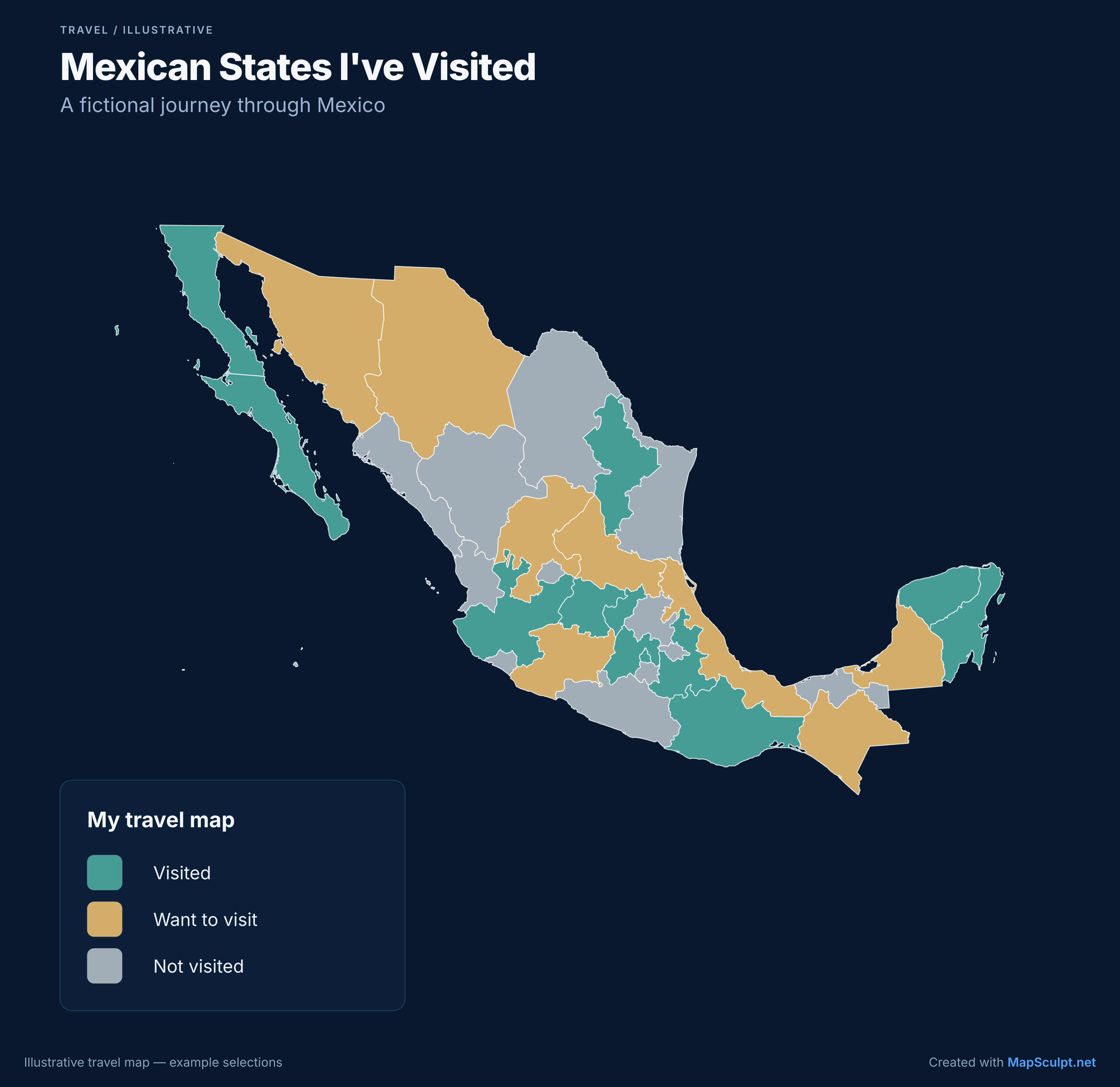
Open the Mexico template, color its federal entities and export your finished map as a PNG.
How many states are there in Mexico?
Mexico has 31 states plus Mexico City, for a total of 32 federal entities.
Does the map include Mexico City?
Yes. Mexico City is separate from the State of Mexico and can be colored independently.
Can I make a labeled map of Mexico?
On desktop, when the Text tool is enabled, you can manually place entity names or notes on the map. These annotations are not automatically anchored to a geographic entity. Freeform Text placement is currently unavailable on mobile. On both desktop and mobile, you can edit the title, subtitle, legend and source.
Can I color individual Mexican municipalities?
Not in this template. It supports 32 federal entities, not individual municipalities or Mexico City boroughs.
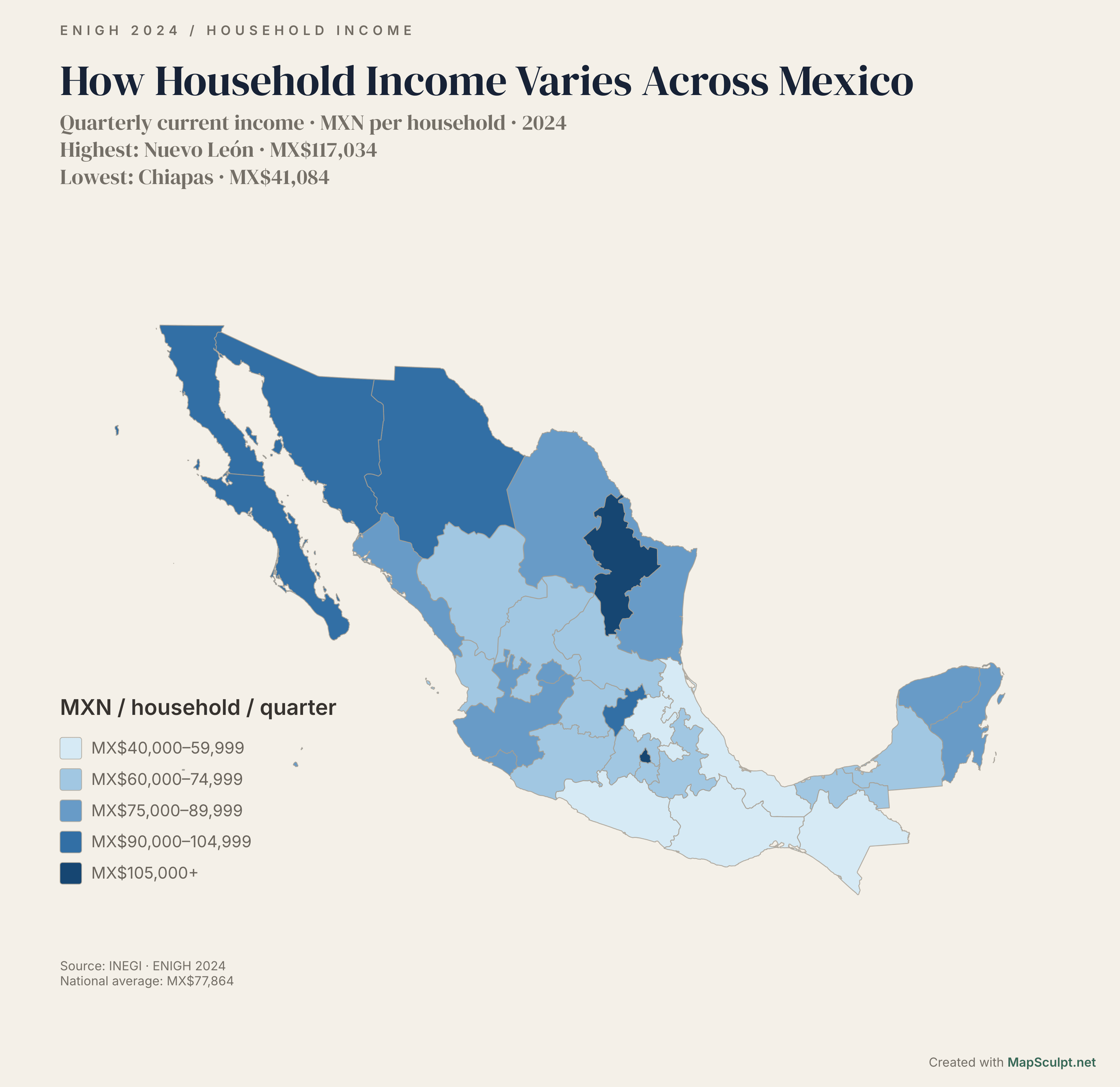
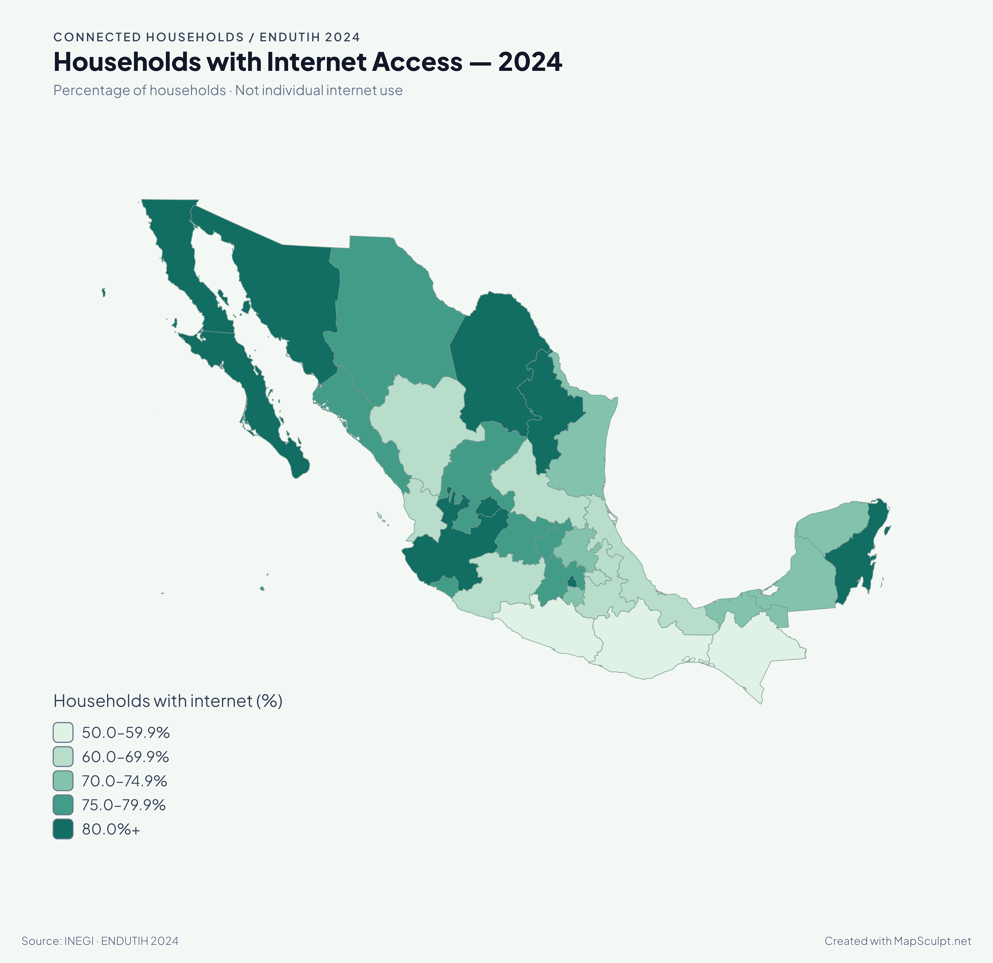
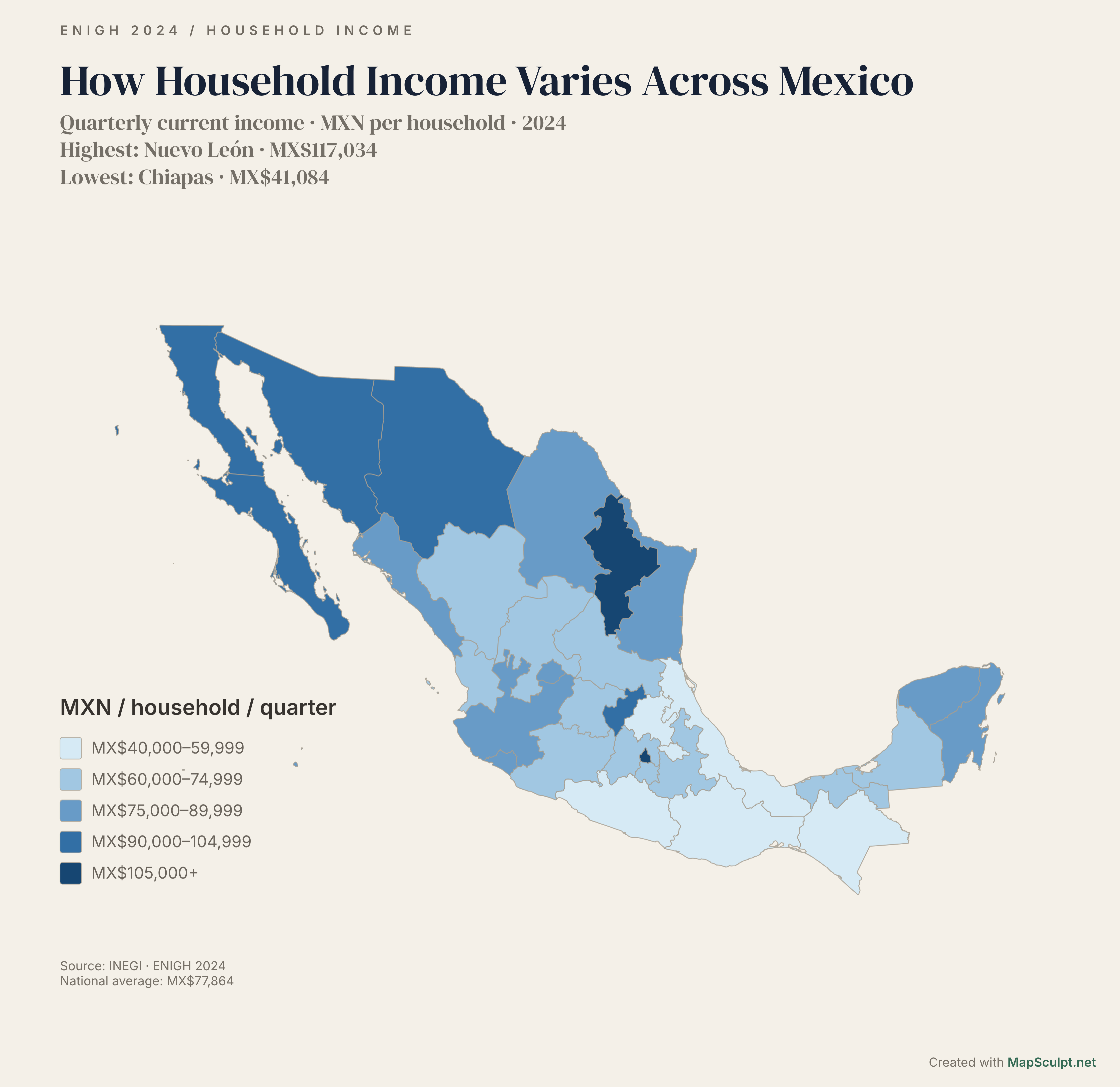
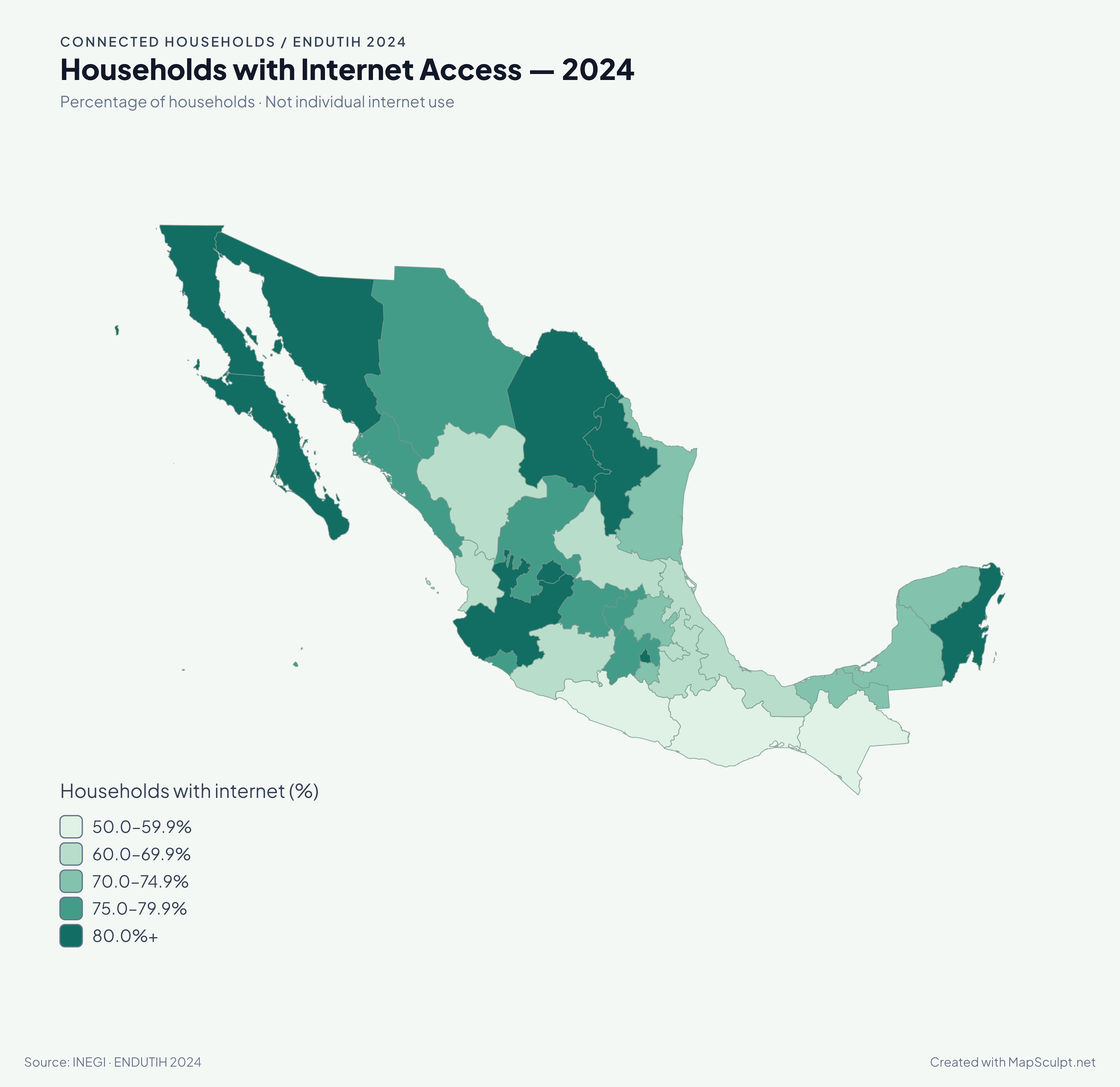
Can I map INEGI statistics?
Yes. Import a CSV with federal-entity names and values, review matches and apply a choropleth palette.
Can I download my Mexico map as PNG?
Yes. Export a high-resolution PNG with your preferred content and styling.
Can I use this map for classes or homework?
Yes. Color the entities and download a PNG for homework, presentations or classroom materials. To add names manually, use the Text tool on desktop when enabled.
Is the Mexico map maker free?
Yes. Color Mexico’s federal entities, add details and download your PNG for free, with no sign-up required.
Can I create maps for r/MapPorn and r/dataisbeautiful?
Yes. Attribute trustworthy data such as INEGI, add a readable legend and follow each subreddit’s rules. Use [OC] where required.