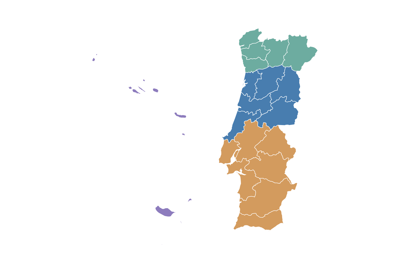
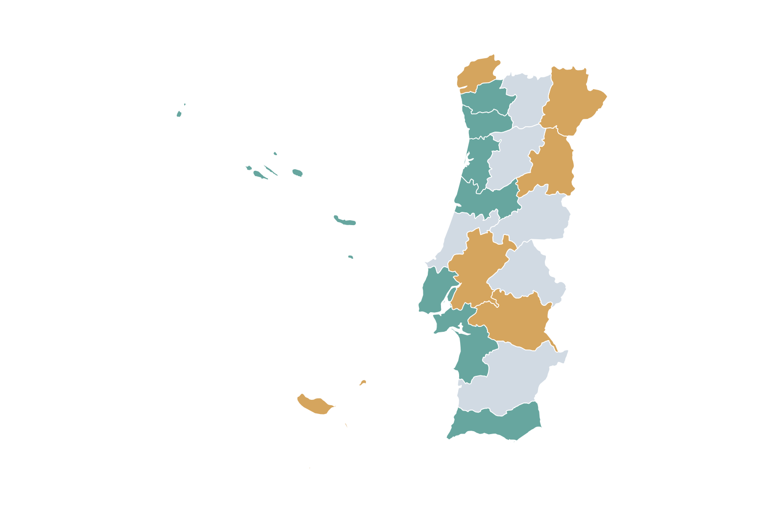
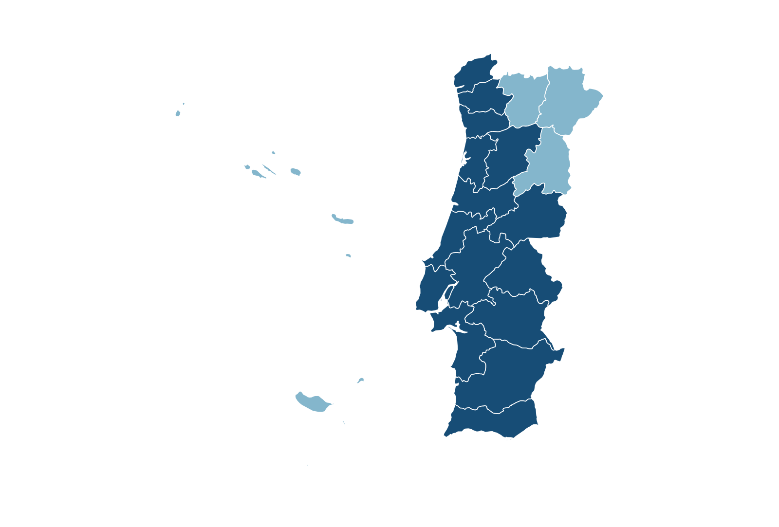
How can I color the districts of Portugal on a map?Can I color individual districts?
Open MapSculpt's editable Portugal map, choose your colors, and click the districts you want to customize. You can create categories and add a legend to explain your map.Yes. Choose a color for each district.
How many districts does Portugal have?How many districts are there?
Mainland Portugal has 18 districts. The country also includes two autonomous regions: the Azores and Madeira. All 20 areas are represented separately in MapSculpt.18 on the mainland, plus two autonomous regions.
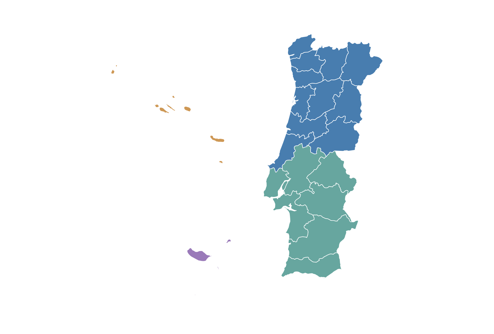
Can I create a customized map of Portugal?Can I customize the map?
Yes. You can change the colors of individual areas, create categories, add titles, and customize your map for presentations, reports, or personal projects.Yes. Change colors, titles, and categories.
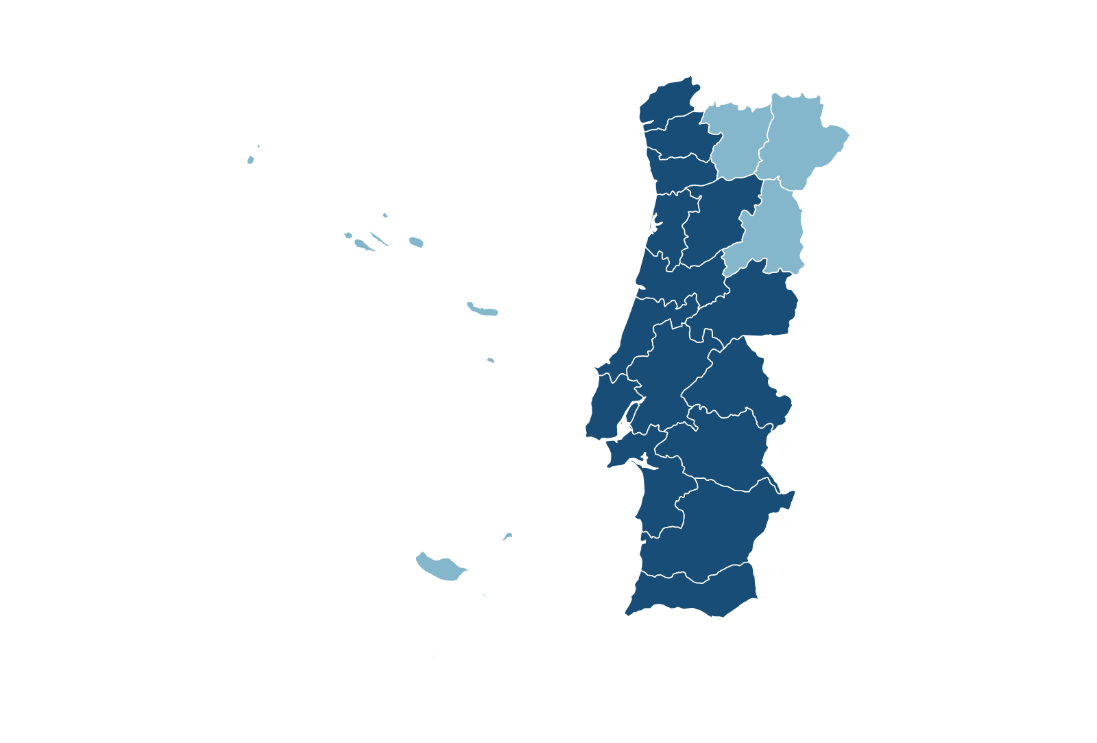
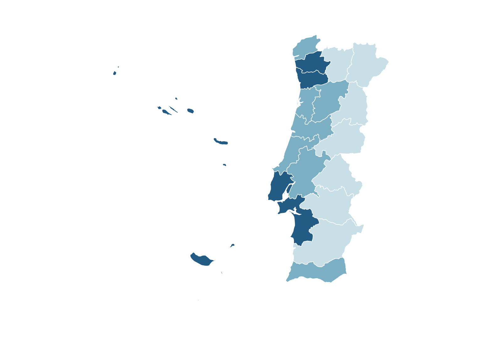
Can I visualize statistics by district?Can I visualize data?
Yes. You can manually assign colors to districts based on your data and use a legend to explain the different categories.Yes. Classify areas and explain them with a legend.
Can I download my Portugal map as a PNG?Can I download a PNG?
Yes. You can export your finished map as a PNG image for presentations, reports, educational materials, or other projects.Yes. Export your map as a ready-to-use image.
Does the map include the Azores and Madeira?Are the Azores and Madeira included?
Yes. Both autonomous regions are included and can be selected and colored independently.Yes. Both are separately selectable.
Can I create maps for r/MapPorn, r/dataisbeautiful, r/europe and other Reddit communities?Can I create maps for r/MapPorn, r/dataisbeautiful, r/europe and other Reddit communities?
Yes. MapSculpt lets you create custom maps for data visualizations, geographic comparisons and original map posts. You can color countries or regions using, for example, Eurostat data or other official sources, add a clear title, legend and source, and download your map as a high-resolution PNG.
For communities such as r/MapPorn, r/dataisbeautiful, r/europe and other subreddits, use accurate data, explain your methodology where needed, and check each community’s posting rules before submitting.Yes. MapSculpt lets you create custom maps for data visualizations, geographic comparisons and original map posts. You can color countries or regions using, for example, Eurostat data or other official sources, add a clear title, legend and source, and download your map as a high-resolution PNG.
For communities such as r/MapPorn, r/dataisbeautiful, r/europe and other subreddits, use accurate data, explain your methodology where needed, and check each community’s posting rules before submitting.