Skip to content
MapSculpt

GEOGRAPHIC MAP MAKER / LOUISIANA

Louisiana
Parishes Map Maker

Follow domestic moves from New Orleans and the lower Mississippi River to Acadiana. Then use the 64 parish boundaries and Census GEOIDs to make your own Louisiana map.

Free online editor · No sign-up required

64parishes
individually editable

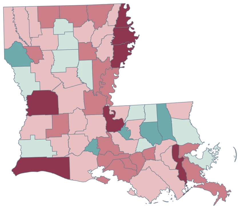
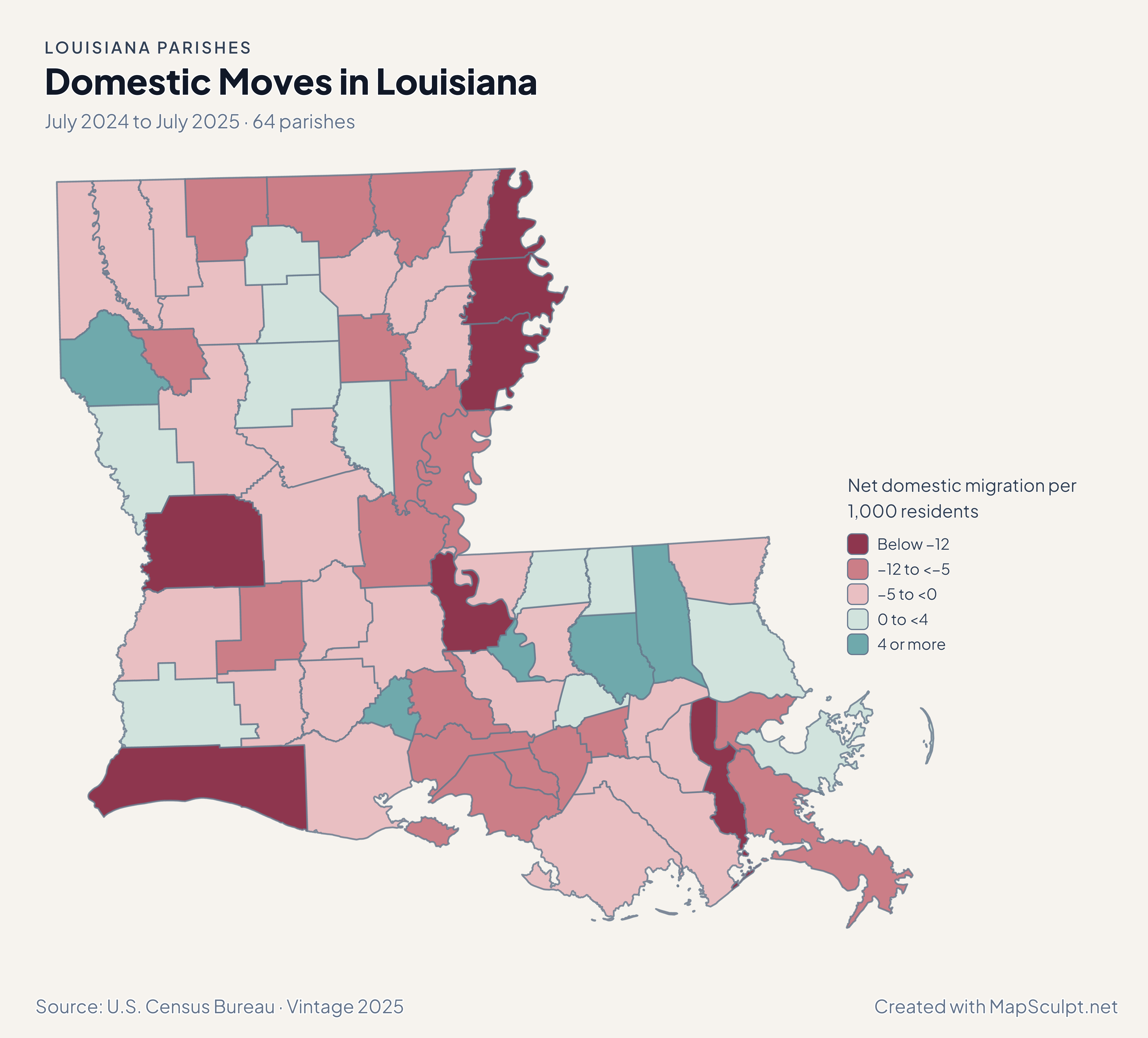
Domestic Moves in Louisiana

July 2024 to July 2025 · 64 parishes

Net domestic migration by parish, with losses in Jefferson and Orleans and gains in St. Tammany.

Net domestic migration per 1,000 residents

  • Below −12
  • −12 to <−5
  • −5 to <0
  • 0 to <4
  • 4 or more
U.S. Census Bureau · Vintage 2025Download complete PNG Net domestic moves within the United States are scaled per 1,000 residents.

KNOW YOUR GEOGRAPHY

Louisiana is mapped by parish.

Parishes are Louisiana’s county-equivalent administrative divisions. Orleans, Jefferson and Plaquemines have separate Census identifiers, including where their boundaries meet along the lower Mississippi River.

The generalized Census source retains coastal and island pieces under the relevant parish. Use a detailed shoreline or wetlands dataset for site-level work.

Browse all parish GEOIDs ↗

2025 Census boundaries

OFFICIAL DATA

From the lower Mississippi to Acadiana.

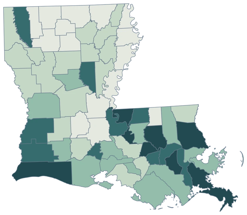
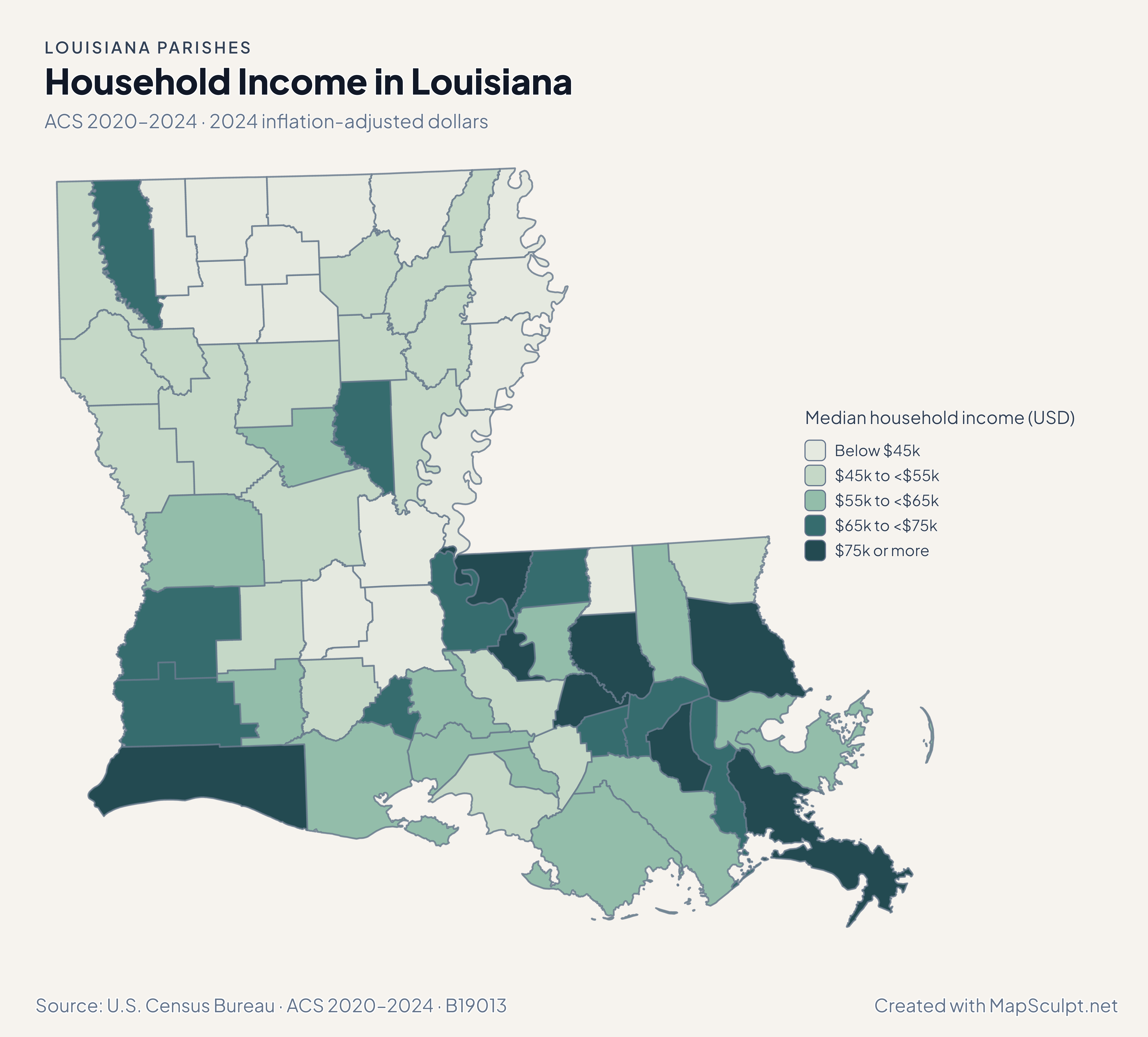
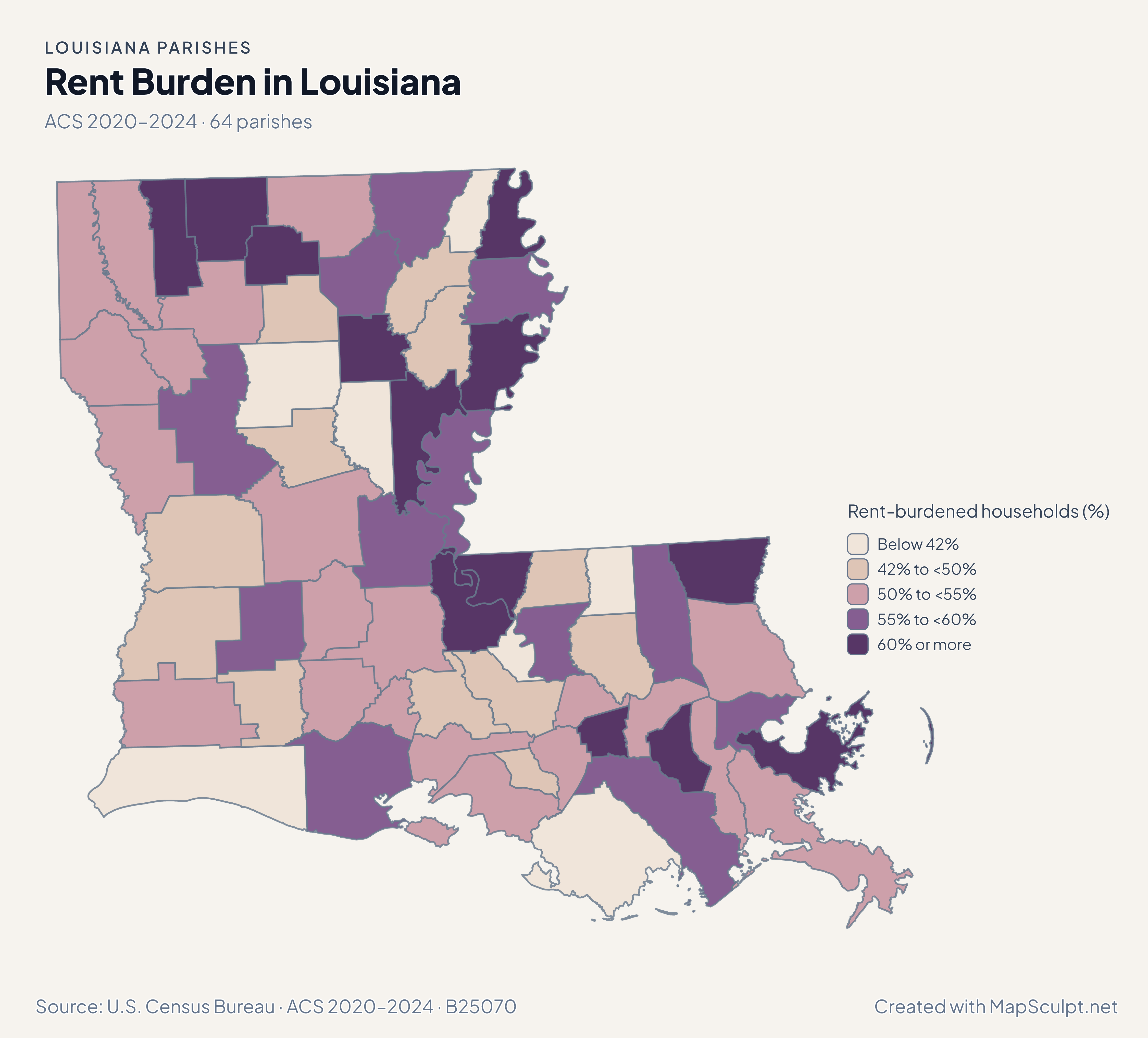
Population and domestic moves use the July 2024–July 2025 estimates. Income and renter costs use the 2020–2024 American Community Survey.

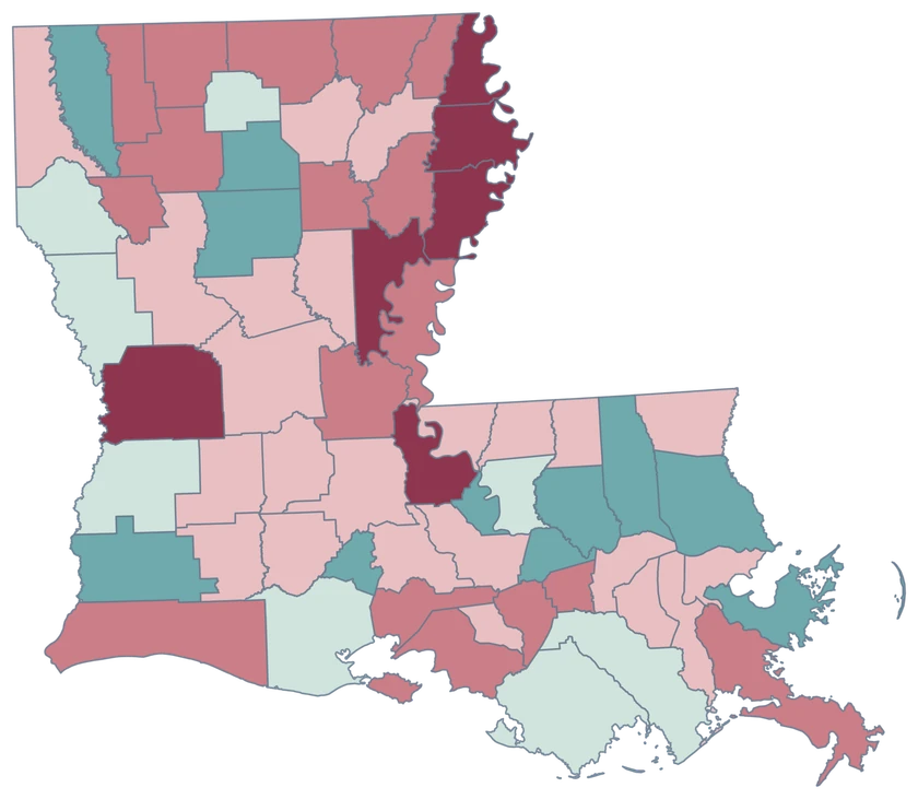
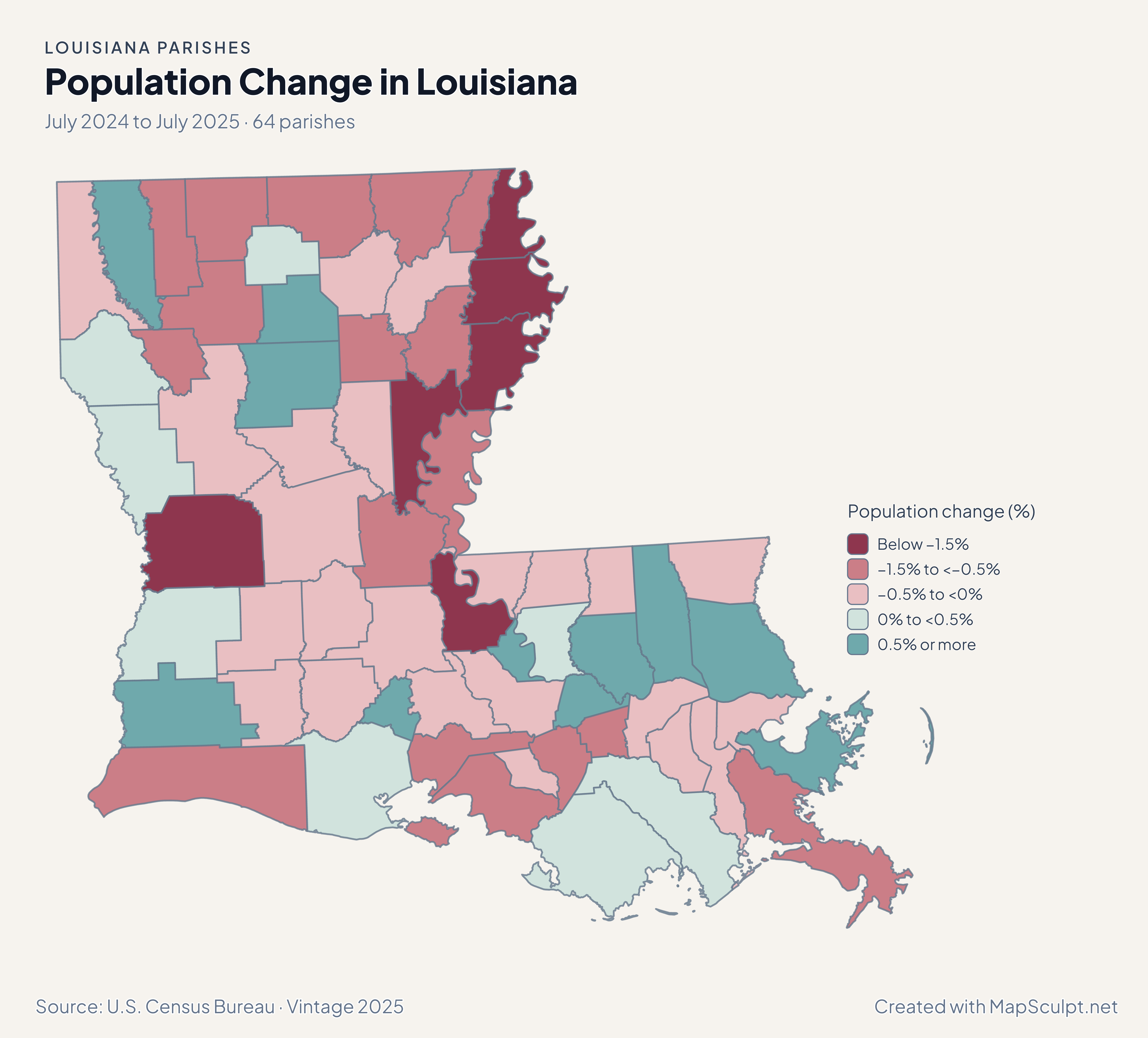
Population change by Louisiana parish, comparing Orleans, Lafayette and East Baton Rouge.

July 2024 to July 2025 · 64 parishes

More parishes lost population than gained.

Orleans declined 0.36%, while Lafayette grew 1.29% and East Baton Rouge grew 0.44% from July 2024 to July 2025. Population change includes more components than domestic moves.

Population change (%)

  • Below −1.5%
  • −1.5% to <−0.5%
  • −0.5% to <0%
  • 0% to <0.5%
  • 0.5% or more

U.S. Census Bureau · Vintage 2025

Download complete PNG

Jefferson recorded −12.86 net domestic moves per 1,000 residents and Orleans recorded −7.51. St. Tammany, on the north shore of Lake Pontchartrain, recorded +2.59. The Census measure describes net flows and cannot identify why households moved. See the Census estimates ↗

MAKE IT YOURS

From parish data to a finished map.

  1. Open the Louisiana editor

    Start with all 64 selectable parishes.

  2. Match your parish records

    Use 22071 for Orleans Parish. Review the match list before applying colors.

  3. Choose a scale

    Use a palette and class boundaries suited to the units in your data.

  4. Export with a legend

    Include the source and reference period alongside a complete high-resolution PNG.

TRY CSV IMPORT

Try six Louisiana records.

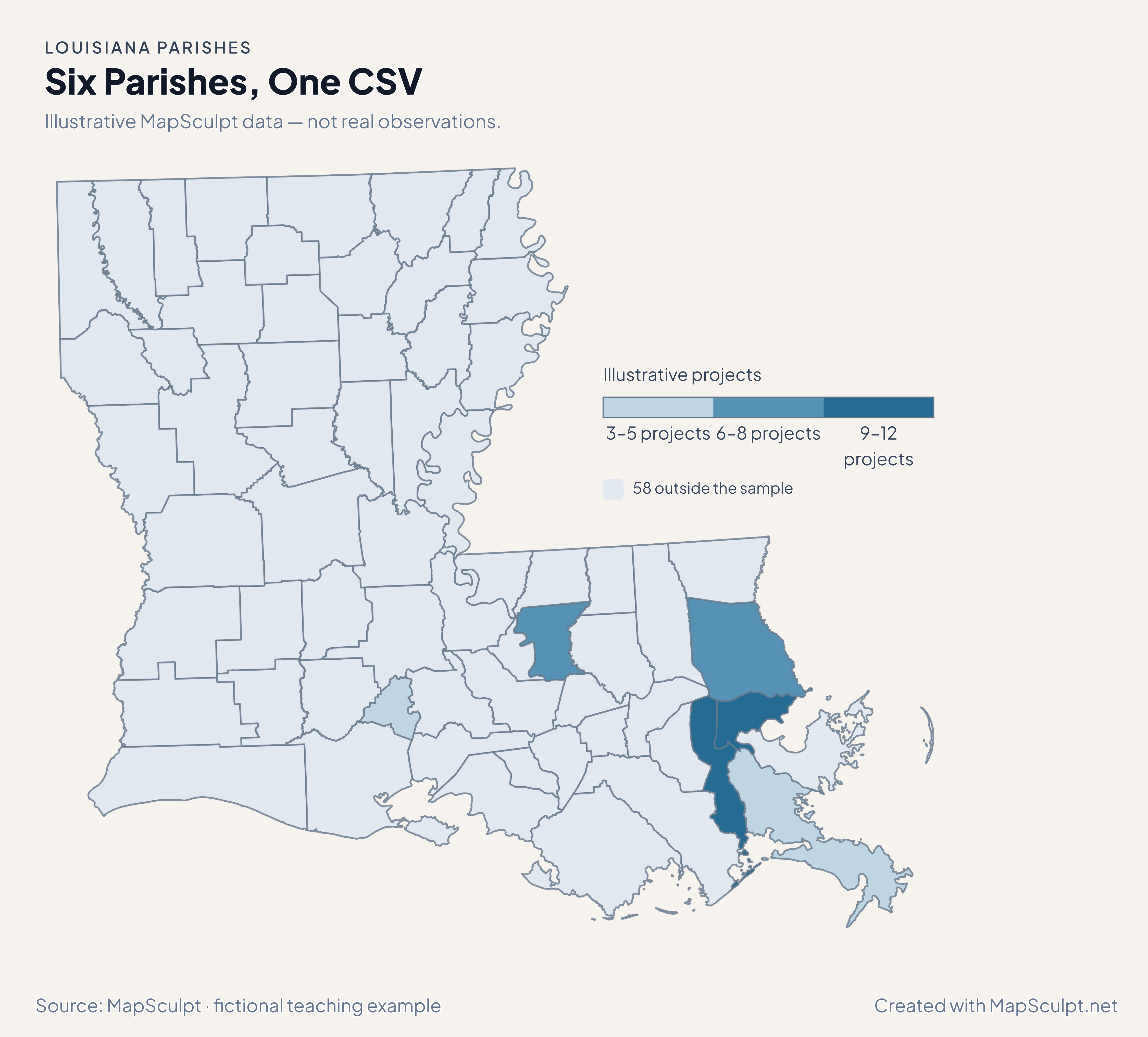
Import the fictional project counts and apply three custom classes. The other 58 parishes stay neutral.

Illustrative MapSculpt data — not real observations.
ParishGEOIDProjects
Orleans Parish2207112
Jefferson Parish220519
East Baton Rouge Parish220337
Lafayette Parish220553
St. Tammany Parish221038
Plaquemines Parish220755

Keep five-digit GEOIDs as text. The sample uses 22071 for Orleans Parish.

Download illustrative CSV ↓

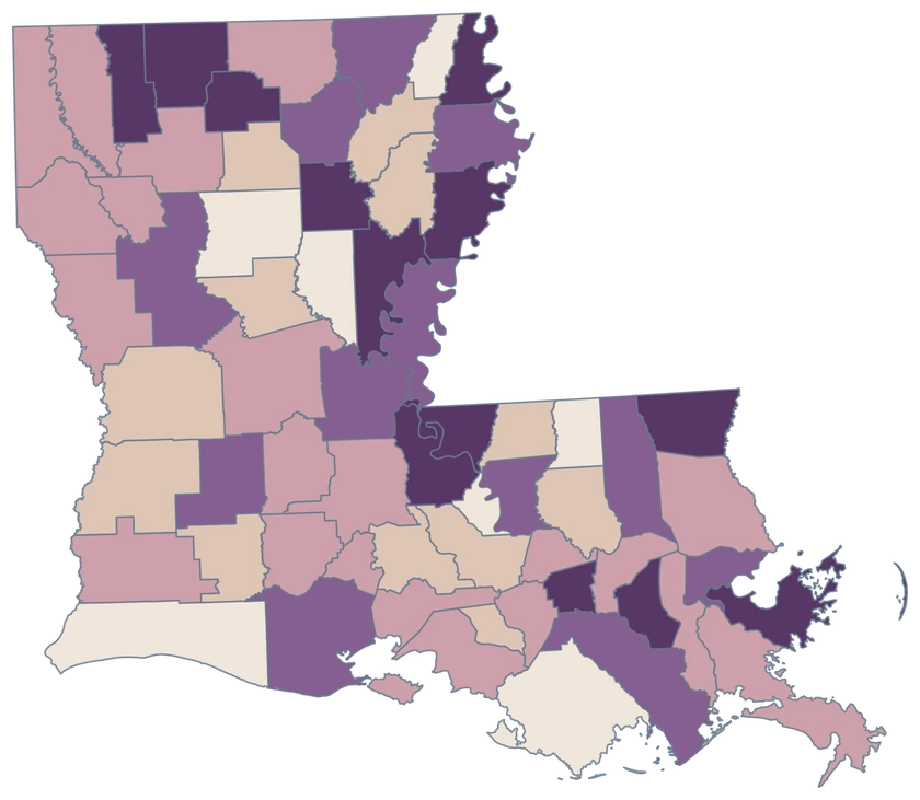
Six Parishes, One CSV

Illustrative MapSculpt data — not real observations.

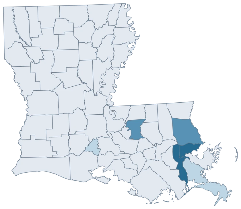
Louisiana illustrative project counts for six parishes; 58 parishes remain neutral.

Illustrative projects

  • 3–5 projects
  • 6–8 projects
  • 9–12 projects
  • 58 outside the sample
Download complete PNG

CSV → Match 6 parishes → Style → Export PNG Create a Louisiana map

PARISH REFERENCE

All 64 Louisiana parishes and GEOIDs.

Official parish names and five-digit Census GEOIDs. Search by name or code.

  1. Acadia ParishGEOID 22001
  2. Allen ParishGEOID 22003
  3. Ascension ParishGEOID 22005
  4. Assumption ParishGEOID 22007
  5. Avoyelles ParishGEOID 22009
  6. Beauregard ParishGEOID 22011
  7. Bienville ParishGEOID 22013
  8. Bossier ParishGEOID 22015
  9. Caddo ParishGEOID 22017
  10. Calcasieu ParishGEOID 22019
  11. Caldwell ParishGEOID 22021
  12. Cameron ParishGEOID 22023
  13. Catahoula ParishGEOID 22025
  14. Claiborne ParishGEOID 22027
  15. Concordia ParishGEOID 22029
  16. De Soto ParishGEOID 22031
  17. East Baton Rouge ParishGEOID 22033
  18. East Carroll ParishGEOID 22035
  19. East Feliciana ParishGEOID 22037
  20. Evangeline ParishGEOID 22039
  21. Franklin ParishGEOID 22041
  22. Grant ParishGEOID 22043
  23. Iberia ParishGEOID 22045
  24. Iberville ParishGEOID 22047
  25. Jackson ParishGEOID 22049
  26. Jefferson Davis ParishGEOID 22053
  27. Jefferson ParishGEOID 22051
  28. Lafayette ParishGEOID 22055
  29. Lafourche ParishGEOID 22057
  30. LaSalle ParishGEOID 22059
  31. Lincoln ParishGEOID 22061
  32. Livingston ParishGEOID 22063
  33. Madison ParishGEOID 22065
  34. Morehouse ParishGEOID 22067
  35. Natchitoches ParishGEOID 22069
  36. Orleans ParishGEOID 22071
  37. Ouachita ParishGEOID 22073
  38. Plaquemines ParishGEOID 22075
  39. Pointe Coupee ParishGEOID 22077
  40. Rapides ParishGEOID 22079
  41. Red River ParishGEOID 22081
  42. Richland ParishGEOID 22083
  43. Sabine ParishGEOID 22085
  44. St. Bernard ParishGEOID 22087
  45. St. Charles ParishGEOID 22089
  46. St. Helena ParishGEOID 22091
  47. St. James ParishGEOID 22093
  48. St. John the Baptist ParishGEOID 22095
  49. St. Landry ParishGEOID 22097
  50. St. Martin ParishGEOID 22099
  51. St. Mary ParishGEOID 22101
  52. St. Tammany ParishGEOID 22103
  53. Tangipahoa ParishGEOID 22105
  54. Tensas ParishGEOID 22107
  55. Terrebonne ParishGEOID 22109
  56. Union ParishGEOID 22111
  57. Vermilion ParishGEOID 22113
  58. Vernon ParishGEOID 22115
  59. Washington ParishGEOID 22117
  60. Webster ParishGEOID 22119
  61. West Baton Rouge ParishGEOID 22121
  62. West Carroll ParishGEOID 22123
  63. West Feliciana ParishGEOID 22125
  64. Winn ParishGEOID 22127

U.S. Census Bureau · 2025 Cartographic Boundary Files

COMMON QUESTIONS

Louisiana parish map questions.

Why does the Louisiana county map use parishes?

The Census recognizes Louisiana’s parishes as county equivalents. The map uses all 64 official parish identities.

What ID should I use for Orleans Parish?

Use 22071 for Orleans Parish. Use 22051 for neighboring Jefferson Parish. Confirm geographic coverage before joining data labeled only as New Orleans.

How does the map handle the Louisiana coast?

Coastal shapes follow generalized Census cartography. Pieces with the same parish GEOID inherit the same fill.

Can I shade the north and south shores of Lake Pontchartrain separately?

Yes. St. Tammany, Orleans and Jefferson are separately selectable. Choose each parish based on the coverage of your data.

Why can Baton Rouge-area population and migration differ?

The domestic migration rate counts net moves within the United States. Total population change also includes births, deaths and international migration.

Can I map New Orleans neighborhoods here?

This editor colors whole parishes. Choose a neighborhood or tract boundary source for records within Orleans Parish.

YOUR NEXT MAP STARTS HERE

Build your own Louisiana map.

Join your records by GEOID, check the parishes that matched, and export with a legend and source.

Create a Louisiana map