Skip to content
MapSculpt

Geographic map maker / Americas

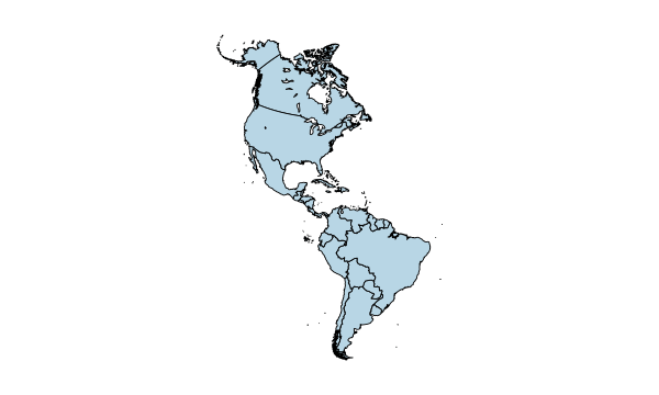
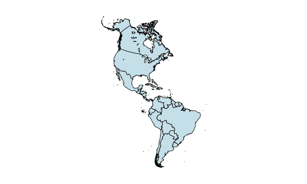
Americas Countries Map Maker

Colour countries across North, Central and South America and the Caribbean. Import CSV data, customise colours and legends, and export a polished map.

Free online editor · No sign-up required

35 + 1Independent countries + French Guiana

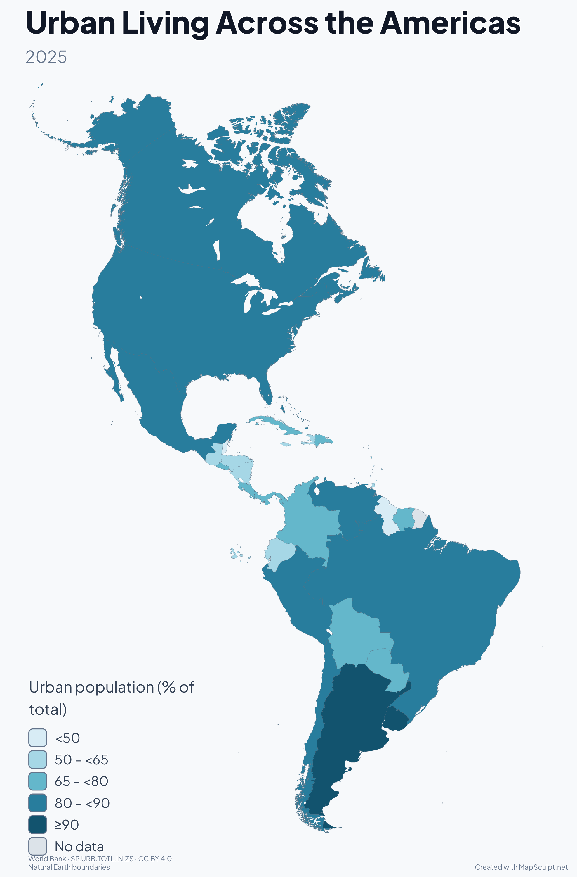
Urban Living Across the Americas

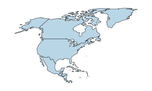
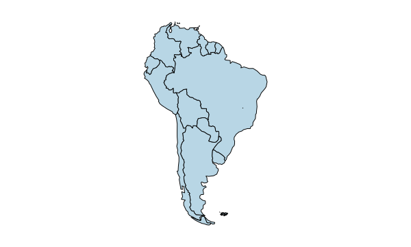
Urban Living Across the Americas · Urban population (% of total) · 2025

Urban population (% of total)

  • <50
  • 50 – <65
  • 65 – <80
  • 80 – <90
  • ≥90
  • No data

2025 · Argentina and Uruguay have high urban shares, while several Caribbean countries have smaller urban shares. The estimates use national definitions of urban areas. French Guiana has no separate observation in this series.

Official data · Map examples

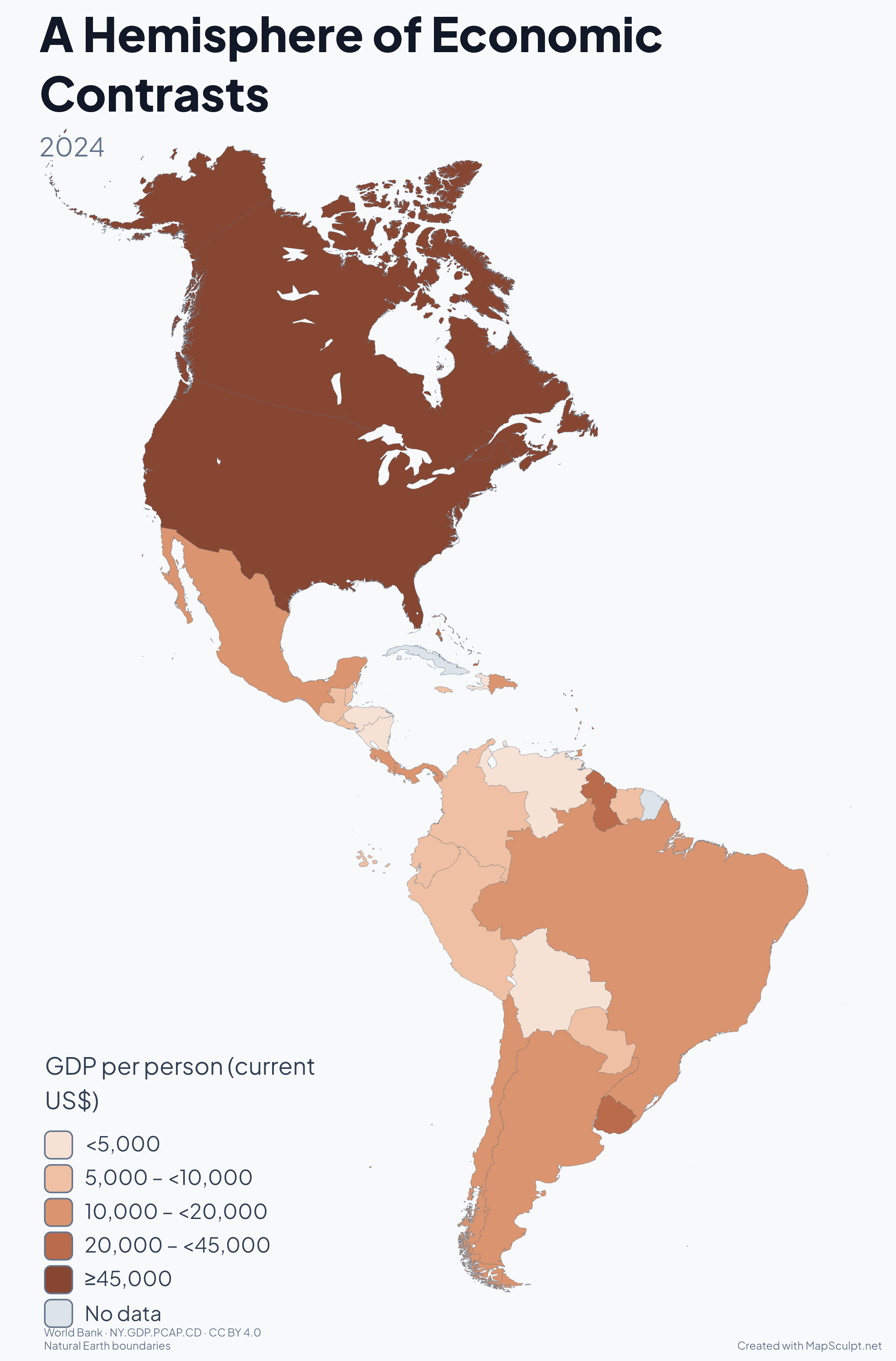
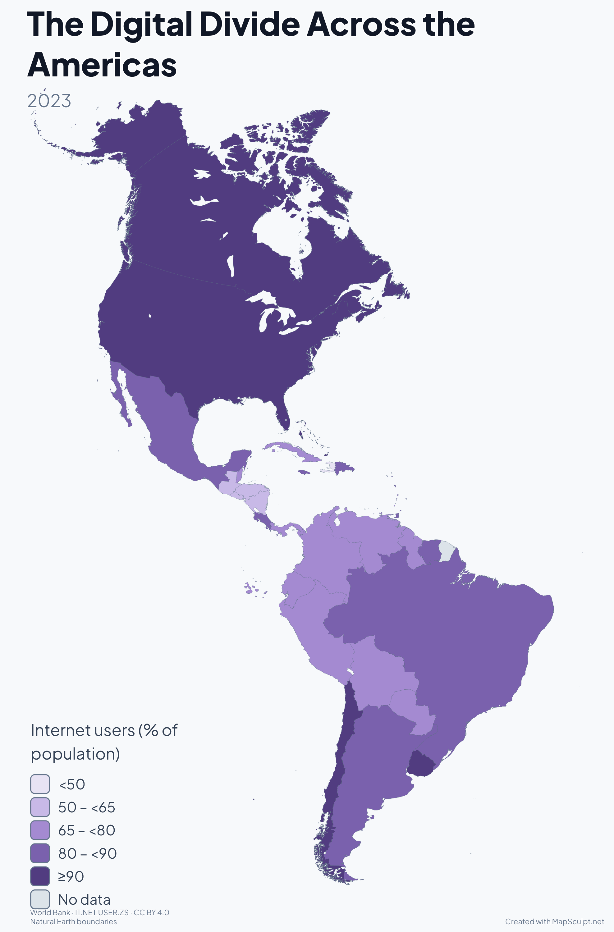
The Americas in four maps

Explore settlement, population density, economic output and internet use on the same set of boundaries.

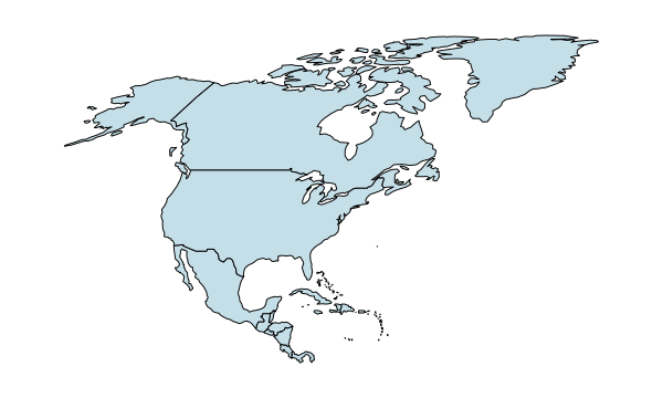
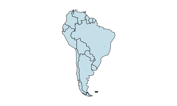
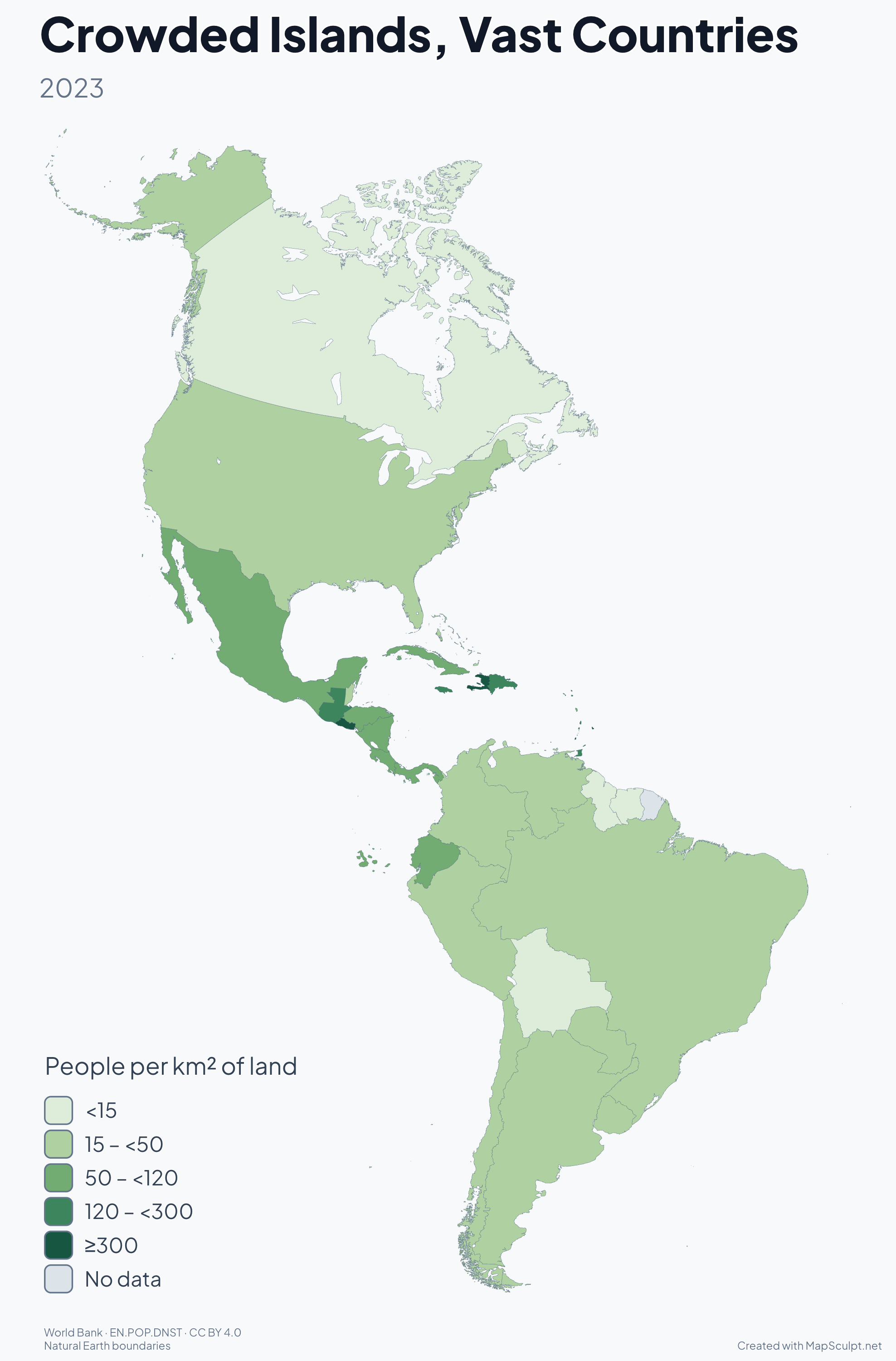
Crowded Islands, Vast Countries · People per km² of land · 2023

2023

Crowded Islands, Vast Countries

Barbados packs far more people into each square kilometre than Canada. Wide classes at the top keep smaller differences visible among less densely populated countries.

People per km² of land

  • <15
  • 15 – <50
  • 50 – <120
  • 120 – <300
  • ≥300
  • No data

French Guiana has no separate observation in this series.

World Bank · EN.POP.DNST

How it works

From country data to a finished map

  1. Choose your countries

    Start blank or colour each country individually.

  2. Import your CSV

    Match names or codes, then apply categories or a numerical scale.

  3. Customise your map

    Add colours, a title, a legend, annotations and a source.

  4. Export your PNG

    Choose the canvas, background and resolution.

Illustrative CSV

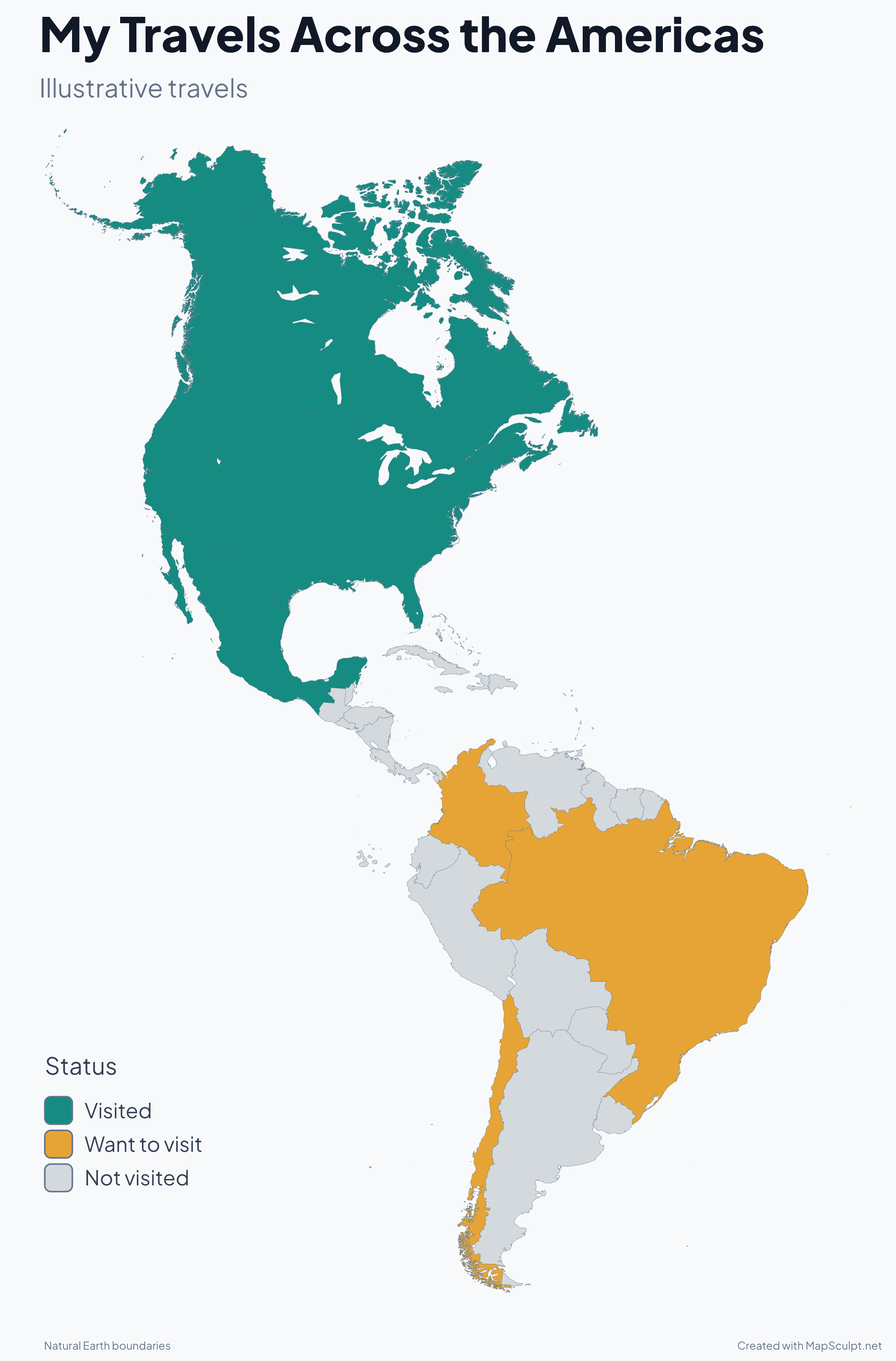
From Spreadsheet to Americas Map

Download all 36 rows. Match on Code and use Status as the category column. The table shows seven examples. If prompted, confirm that the first row contains headers.

My Travels Across the Americas
Country or territoryCodeStatus
CanadaCAVisited
United StatesUSVisited
MexicoMXVisited
BrazilBRWant to visit
ColombiaCOWant to visit
ChileCLWant to visit
ArgentinaARNot visited
Download sample CSV
My Travels Across the Americas · Visited / Want to visit / Not visited
  • Visited
  • Want to visit
  • Not visited
Create an Americas mapDownload full-resolution PNG

Countries and territories

Explore the Countries of the Americas

  1. CA
    CanadaNorth America
  2. MX
    MexicoNorth America
  3. US
    United StatesNorth America
  4. BZ
    BelizeCentral America
  5. CR
    Costa RicaCentral America
  6. SV
    El SalvadorCentral America
  7. GT
    GuatemalaCentral America
  8. HN
    HondurasCentral America
  9. NI
    NicaraguaCentral America
  10. PA
    PanamaCentral America
  11. AG
    Antigua & BarbudaCaribbean
  12. BS
    BahamasCaribbean
  13. BB
    BarbadosCaribbean
  14. CU
    CubaCaribbean
  15. DM
    DominicaCaribbean
  16. DO
    Dominican RepublicCaribbean
  17. GD
    GrenadaCaribbean
  18. HT
    HaitiCaribbean
  19. JM
    JamaicaCaribbean
  20. KN
    St. Kitts & NevisCaribbean
  21. LC
    St. LuciaCaribbean
  22. VC
    St. Vincent & GrenadinesCaribbean
  23. TT
    Trinidad & TobagoCaribbean
  24. AR
    ArgentinaSouth America
  25. BO
    BoliviaSouth America
  26. BR
    BrazilSouth America
  27. CL
    ChileSouth America
  28. CO
    ColombiaSouth America
  29. EC
    EcuadorSouth America
  30. GF
    French GuianaSouth AmericaFrench overseas department and region
  31. GY
    GuyanaSouth America
  32. PY
    ParaguaySouth America
  33. PE
    PeruSouth America
  34. SR
    SurinameSouth America
  35. UY
    UruguaySouth America
  36. VE
    VenezuelaSouth America

THE MAPSCULPT COLLECTION

Choose your map.

Find your geography. Add your perspective.

98 maps / 8 collections

Countries, regions and counties. Ready for your ideas.

Sort maps

California

Counties

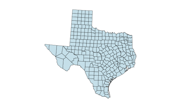
Texas

Counties

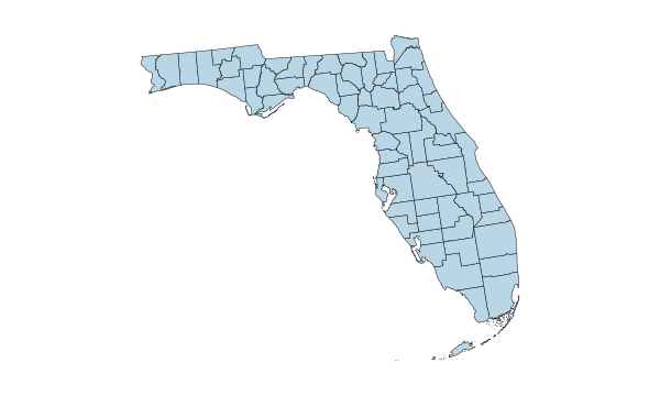
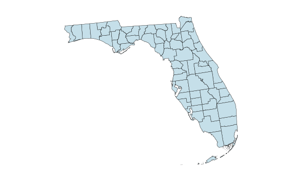
Florida

Counties

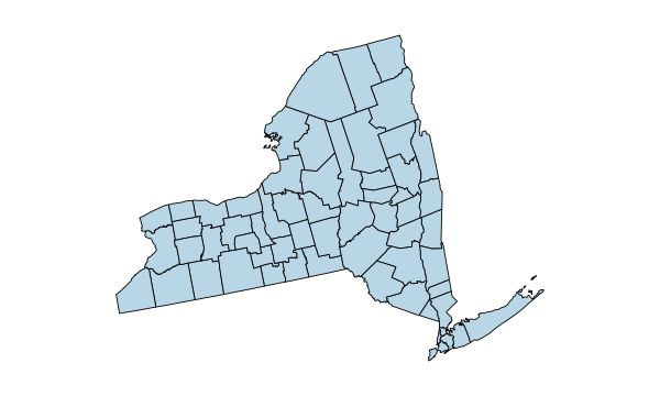
New York

Counties

Pennsylvania

Counties

Illinois

Counties

Ohio

Counties

Georgia

Counties

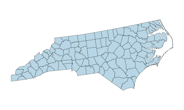
North Carolina

Counties

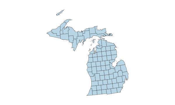
Michigan

Counties

New Jersey

Counties

Virginia

Counties

1–12 of 50 state maps

Common questions

Americas map questions

How many independent countries are in the Americas?

There are 35. The editor also shows French Guiana as a separate selectable area.

Does the map include the Caribbean?

Yes. You can colour 13 independent Caribbean countries.

Is French Guiana an independent country?

No. It is an overseas department and region of France in South America.

Can I colour countries individually?

Yes. Choose a colour and click or tap a country.

Can I make a blank map of the Americas?

Yes. Keep the areas uncoloured and customise the outlines and background.

Can I import CSV country data?

Yes. Use supported names or codes such as CA, MX and BR.

What's the difference between the Americas and Latin America?

The Americas is a geographic term for the continents and islands. Latin America is primarily a cultural and linguistic term, commonly referring to places with Spanish, Portuguese or French heritage.

What's the difference between Americas Countries and Americas Regions?

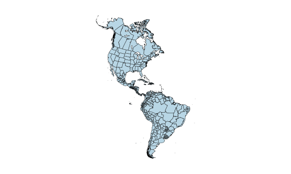
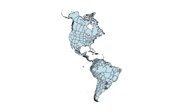
Countries draws national borders. Regions lets you work with first-level subdivisions such as states and provinces.

Can I download a high-resolution PNG?

Yes. Pick a preset or enter a custom resolution.

Is MapSculpt free to use?

Yes. You can create, colour and download a map without signing up.

Start mapping

Make the Americas your own.
From country comparisons to travel stories, create a map that shows your perspective.
Create an Americas map