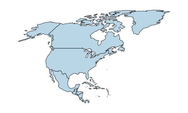
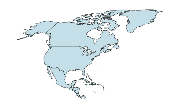
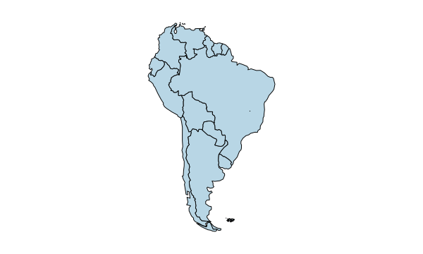
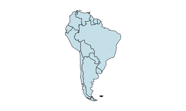
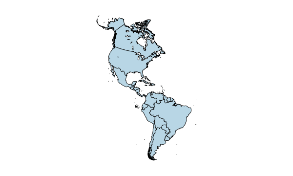
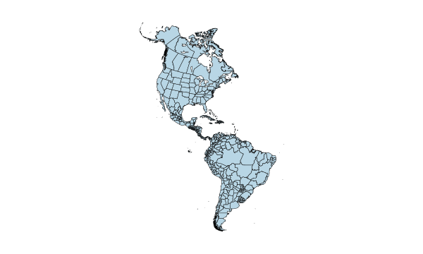
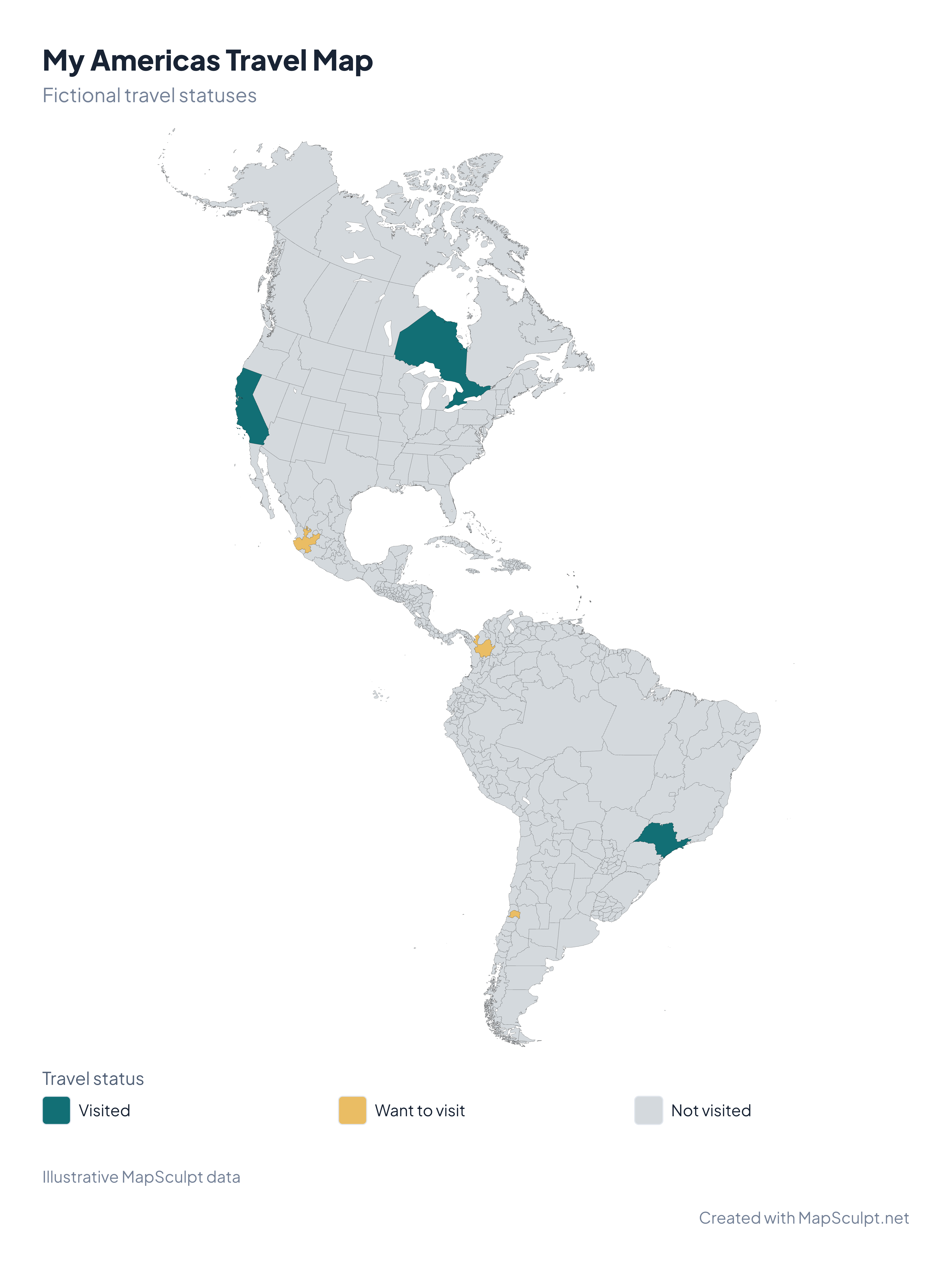
How does this differ from the Americas Countries map?
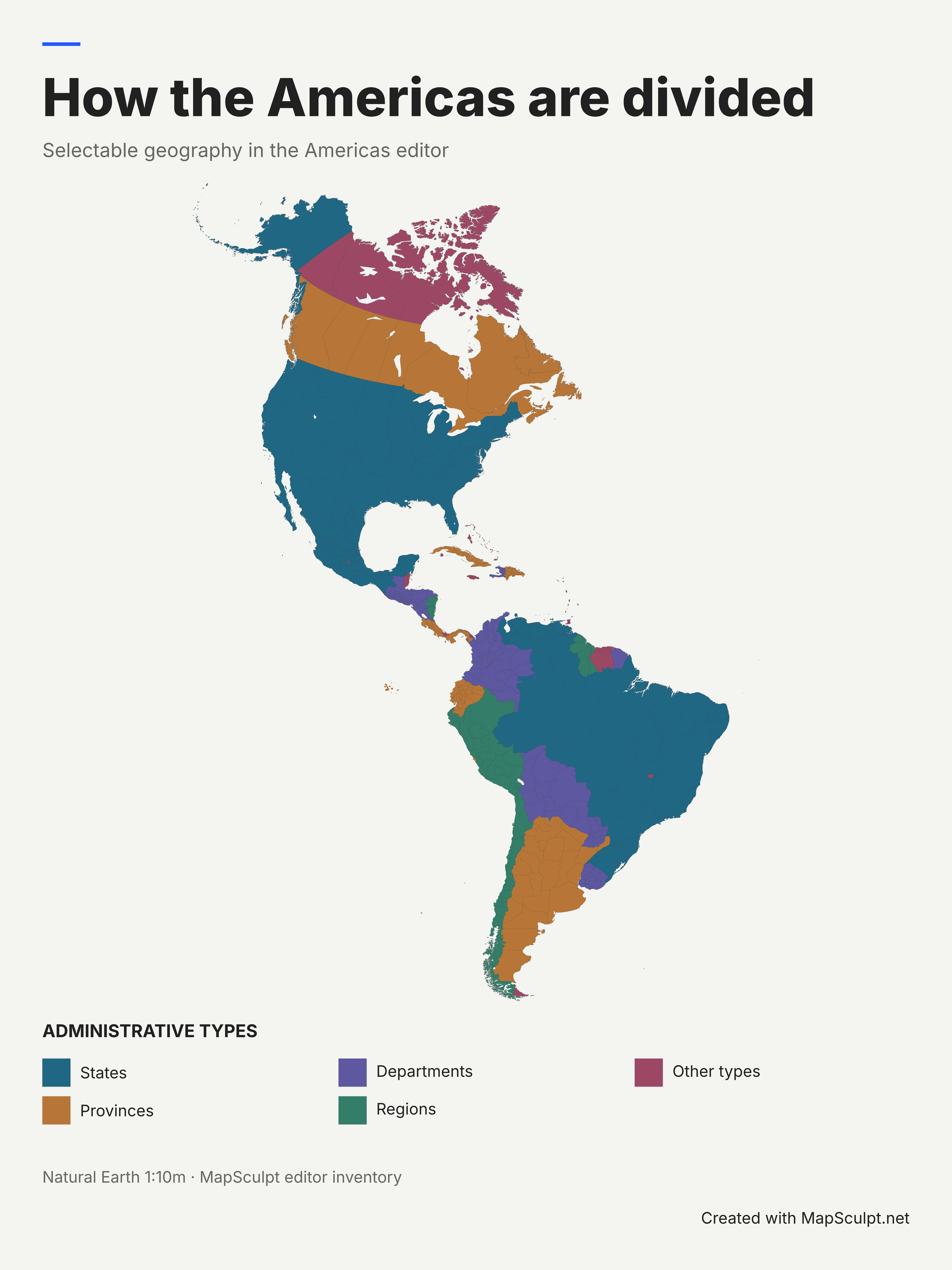
This editor colors individual subdivisions and French Guiana. The countries map colors each represented country or territory as a whole.
Can I color a state or province by itself?
Yes. Select its shape in the editor and choose a fill. Islands that belong to one selectable area share its color.
Can I start with a blank map?
Yes. Start a new map and leave the regions in their default fill. Add borders, labels or categories as needed.
Can a CSV contain regions from different countries?
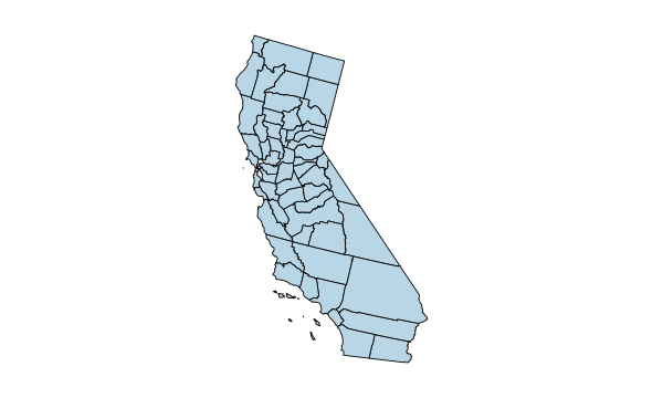
Yes. Put one supported region ID per row. For example, US-CA is California and CA-ON is Ontario.
How do I tell regions with the same name apart?
Filter the directory by country or area and copy the displayed MapSculpt ID. Use that ID for the CSV join.
Why do some statistical areas appear gray?
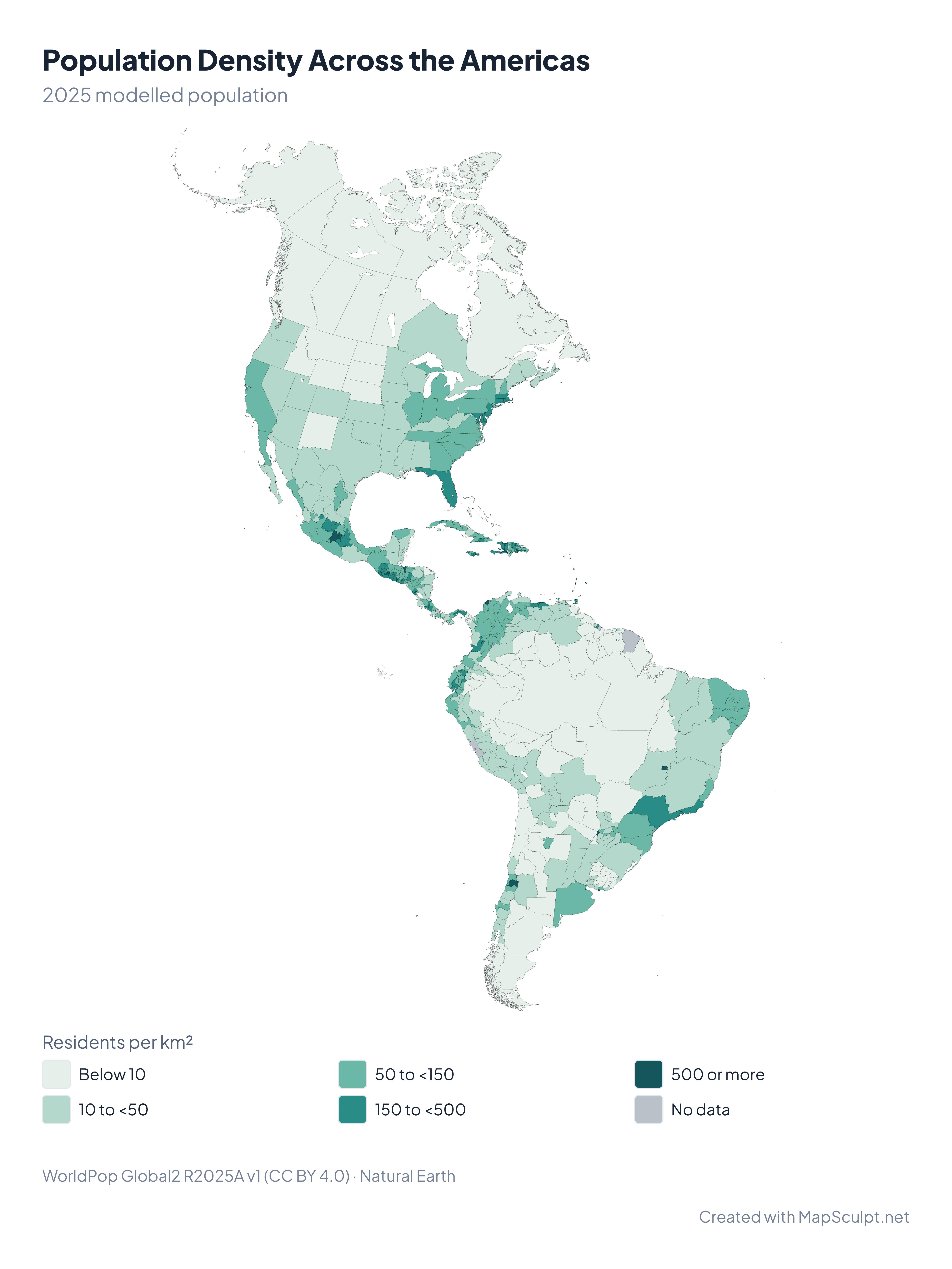
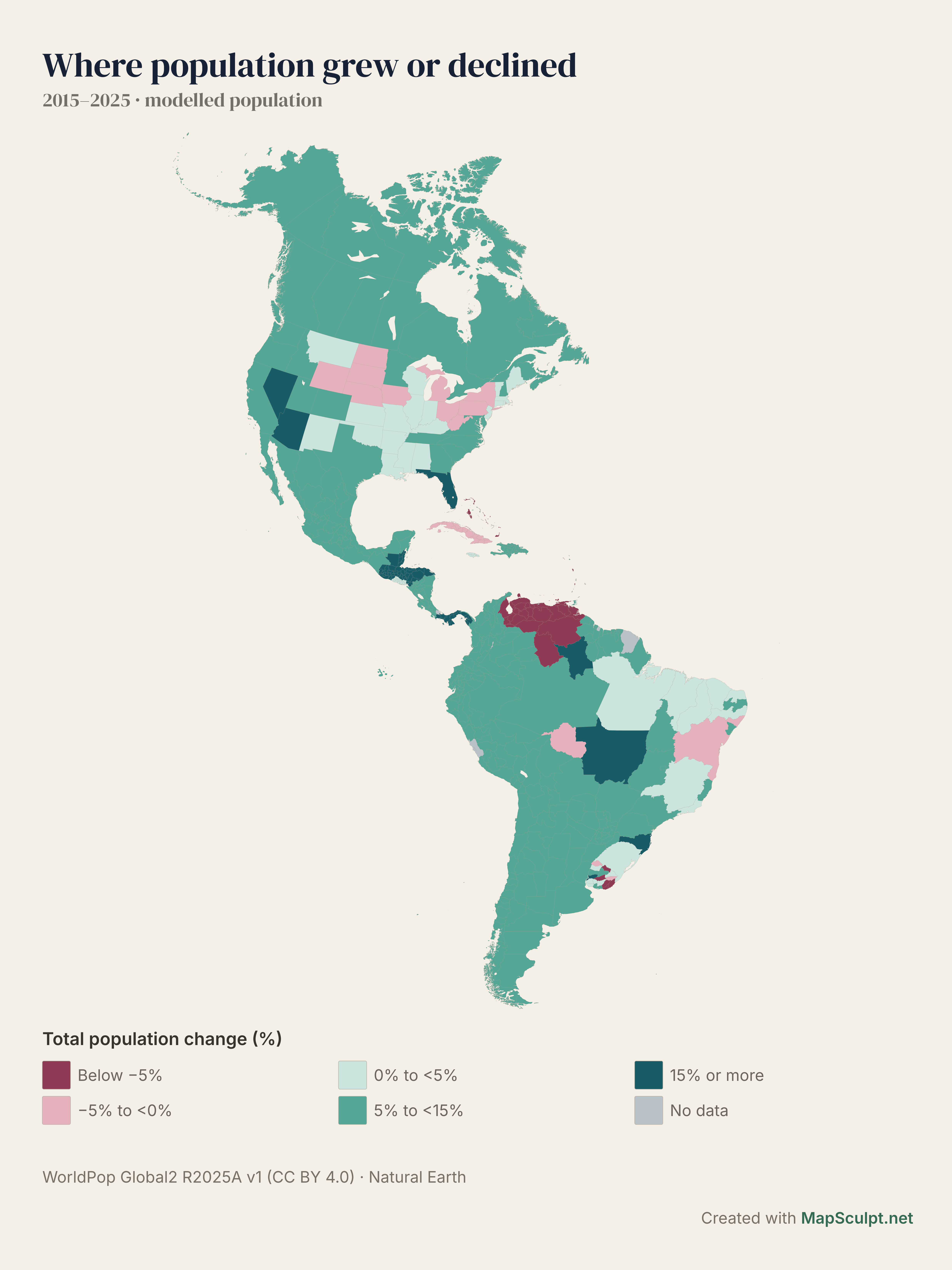
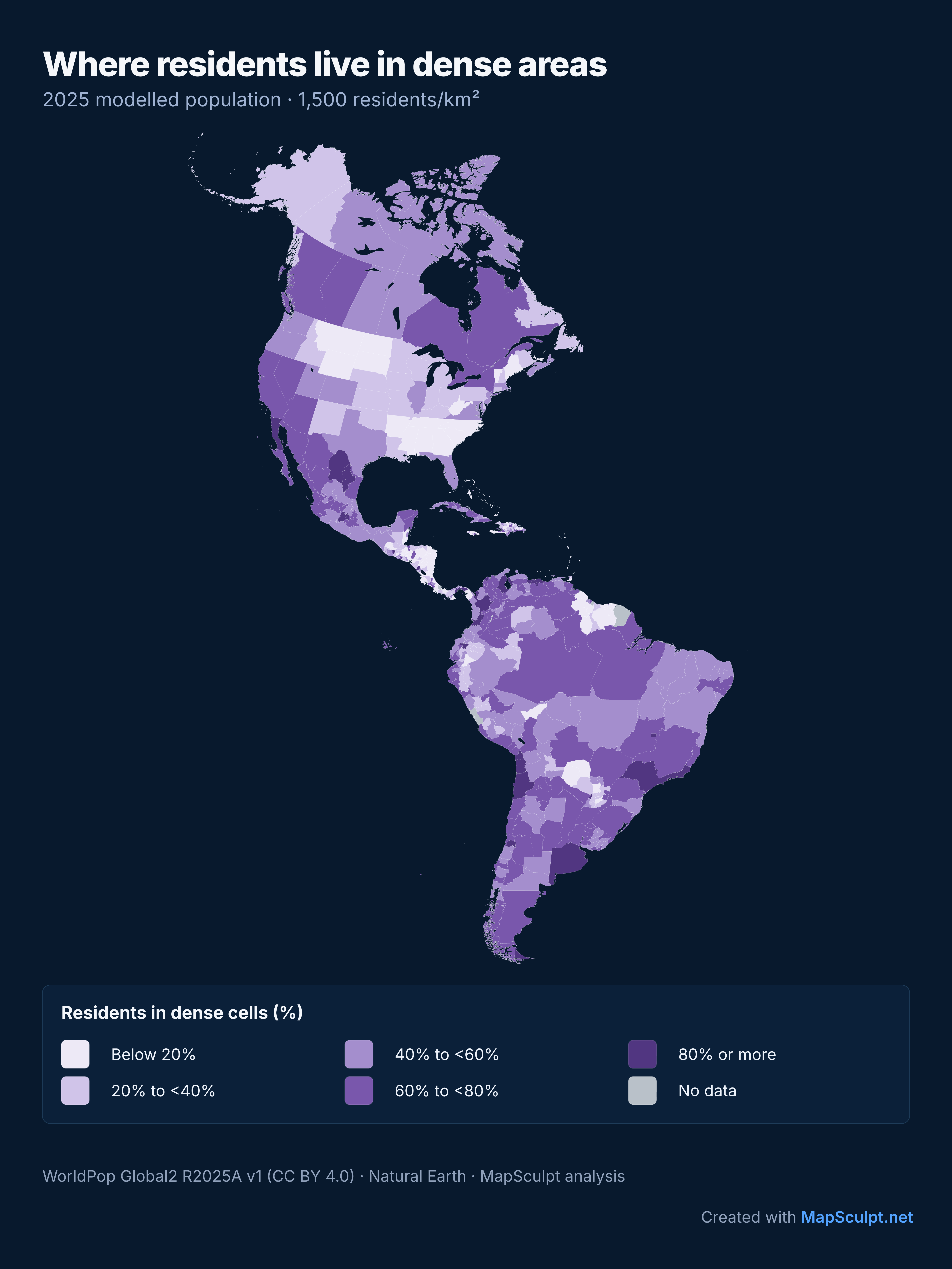
We use gray where we lack a compatible boundary or valid population cells for the indicator. Gray represents missing data.
Can I use the PNG in a report or presentation?
Yes. The editor exports high-resolution PNGs. Keep the attribution required by the geographic and statistical data you use.
Do I need an account?
Basic editing and PNG export are available without signing up.