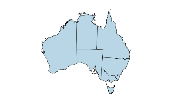
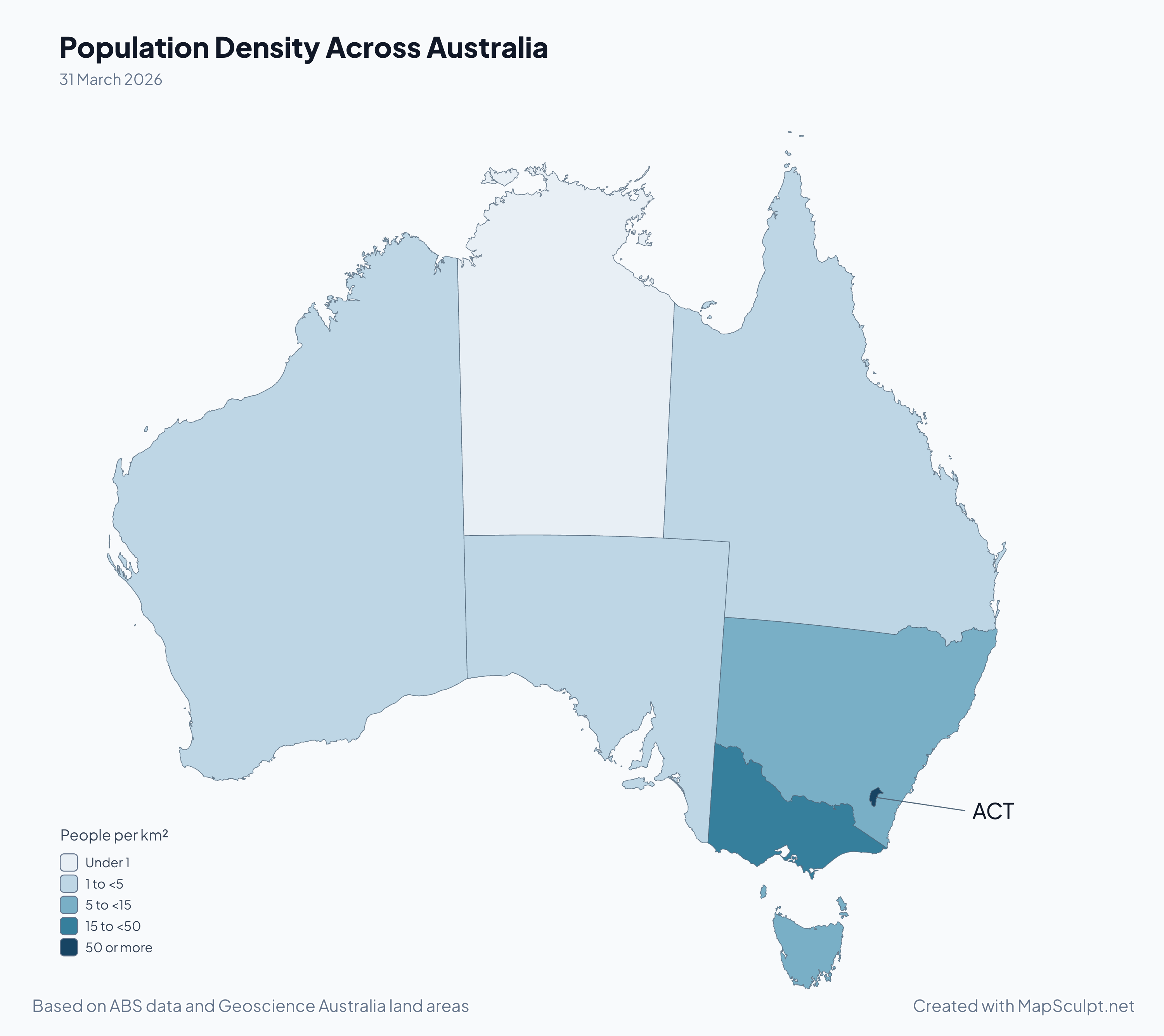
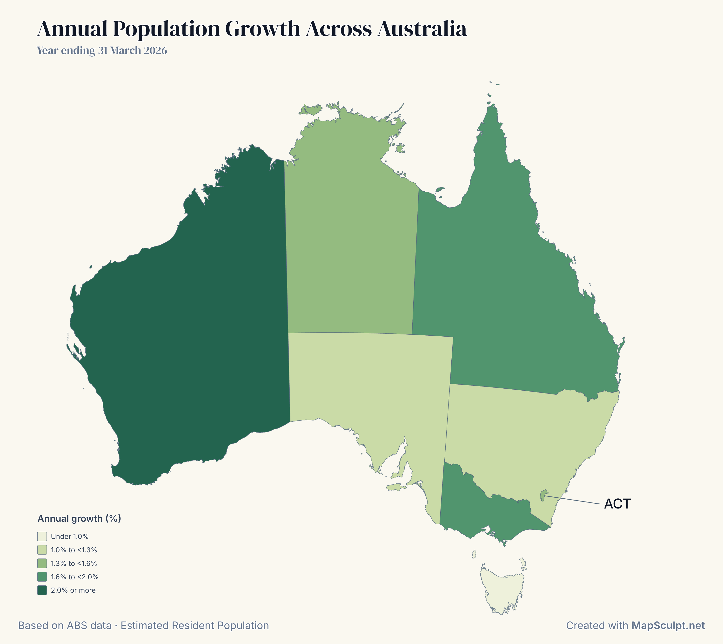
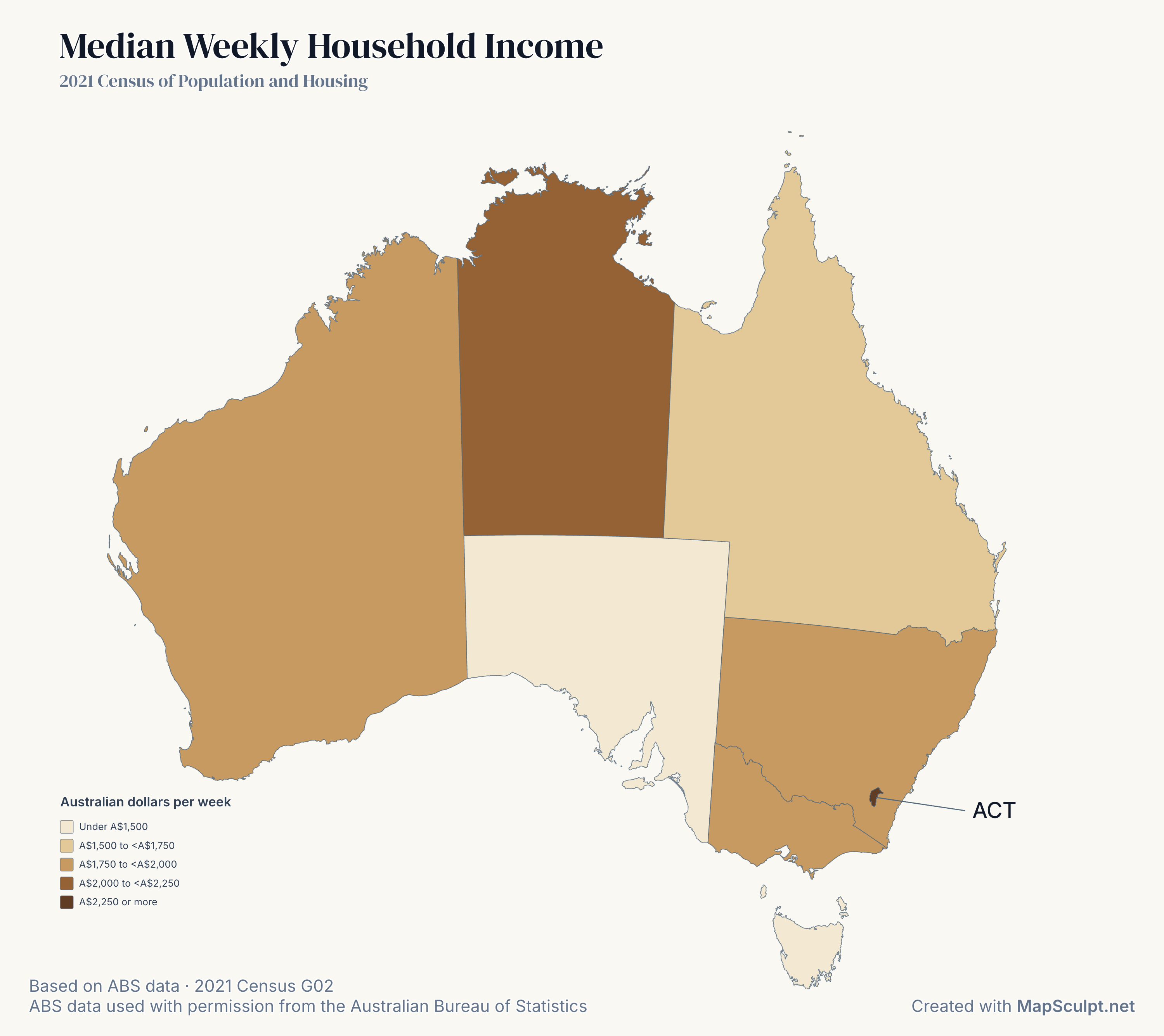
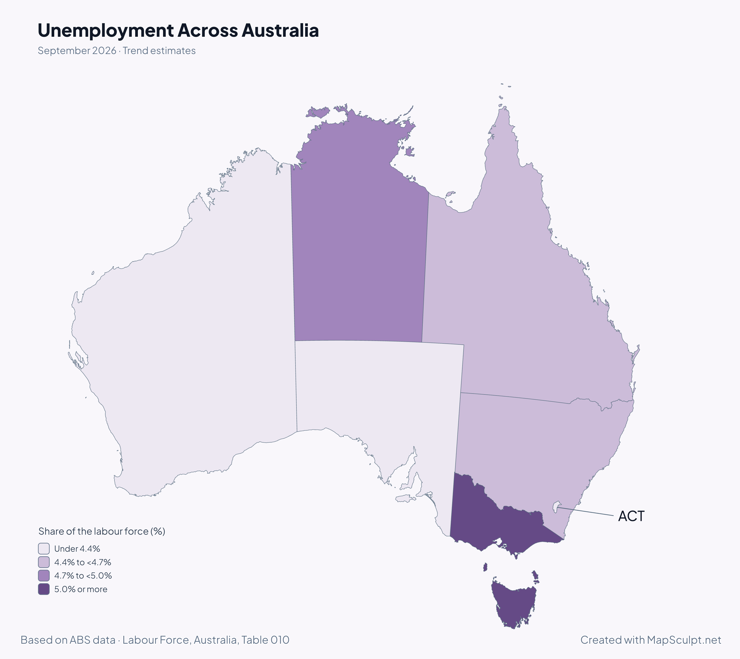
How many states and territories does Australia have?
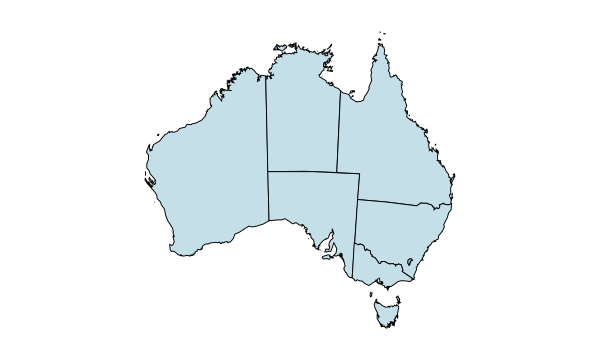
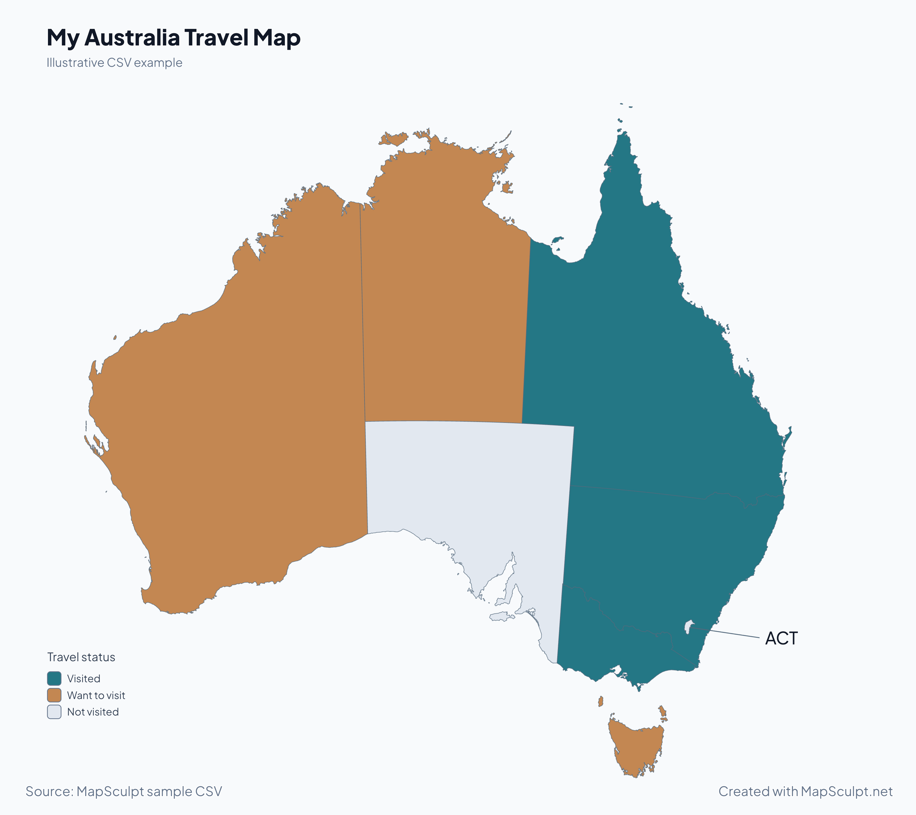
Australia has six states. This map also includes the two self-governing mainland territories, the Northern Territory and the Australian Capital Territory. Australia has other territories beyond the eight areas shown here.
Can I colour each Australian state separately?
Yes. All six states and both mainland territories can be selected and coloured separately. You can also use the region picker to find a small area such as the ACT.
Can I create a blank Australia map?
Yes. Open the editor with no fills applied, or clear your region colours, then export the outline with the background and borders you choose.
Are Tasmania and the ACT included?
Yes. Tasmania appears south of the mainland, and the ACT is a separate region within south-eastern New South Wales. The examples label the ACT and keep its polygon at its original size.
Can I import CSV data using state names or abbreviations?
Yes. Use a column with full names such as New South Wales, or abbreviations such as NSW. Select that column when matching your CSV and review the matches before applying colours.
Are Australia’s external territories included?
The editor covers the six states and the two self-governing mainland territories. External territories such as Christmas Island and Norfolk Island, and the separately administered Jervis Bay Territory, are outside this map’s scope.
Can I download a high-resolution Australia map?
Yes. The editor can export a PNG at several resolutions. You can also choose a custom size within the limits shown in the export dialog.
Is MapSculpt free to use?
You can colour a map, import CSV data and download a standard PNG free, without creating an account.