2025
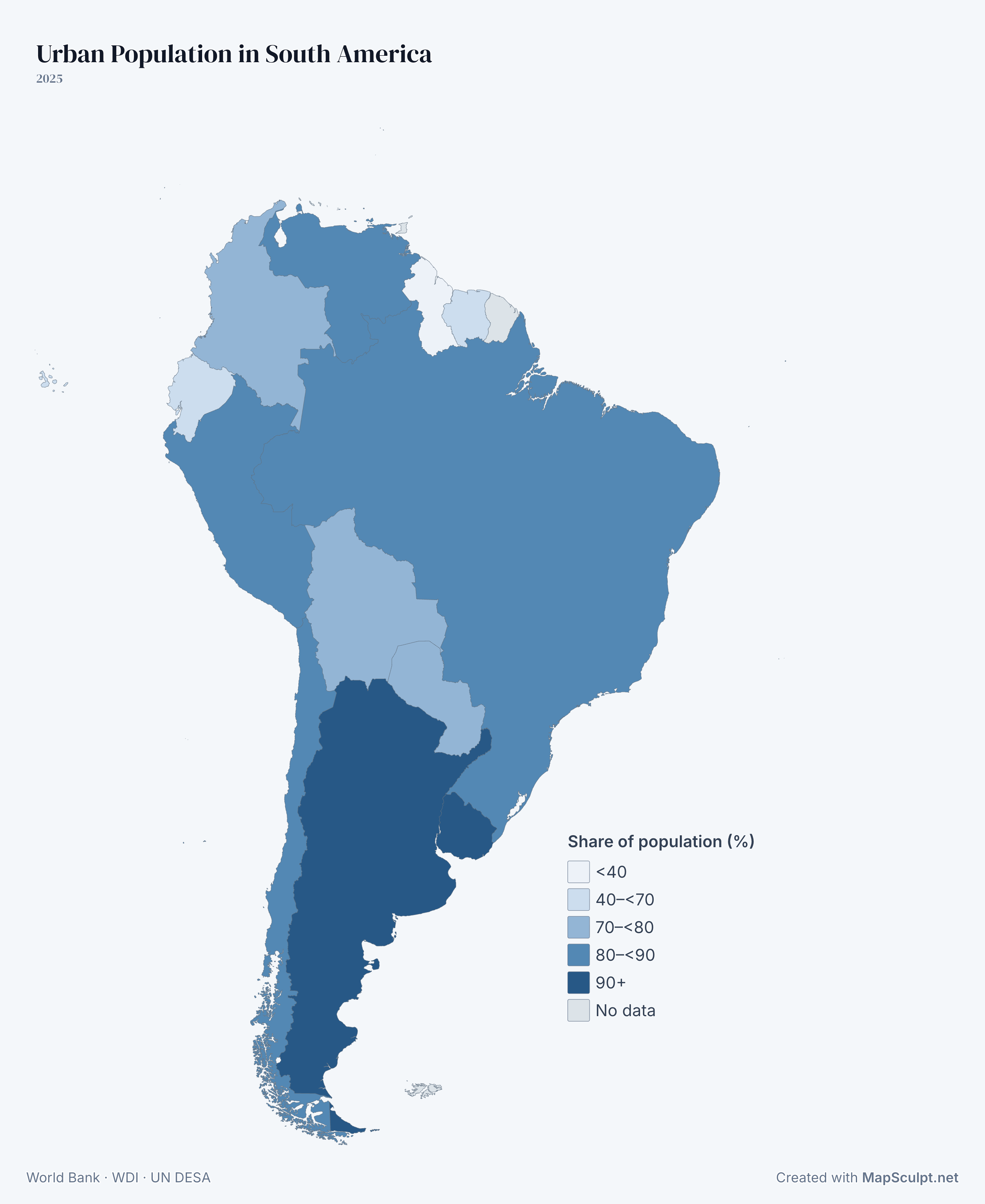
Where South America is most urbanized
Around 95.7% of Uruguay’s population lives in urban areas, compared with 26.5% in Guyana. The series uses national definitions of urban areas.
Share of population (%)
- <40
- 40–<70
- 70–<80
- 80–<90
- 90+
- No data


Geographic map maker / South America
Color individual countries, import CSV data and add your own labels and legend. Download your map as a high-resolution PNG.
Free editor · No sign-up required

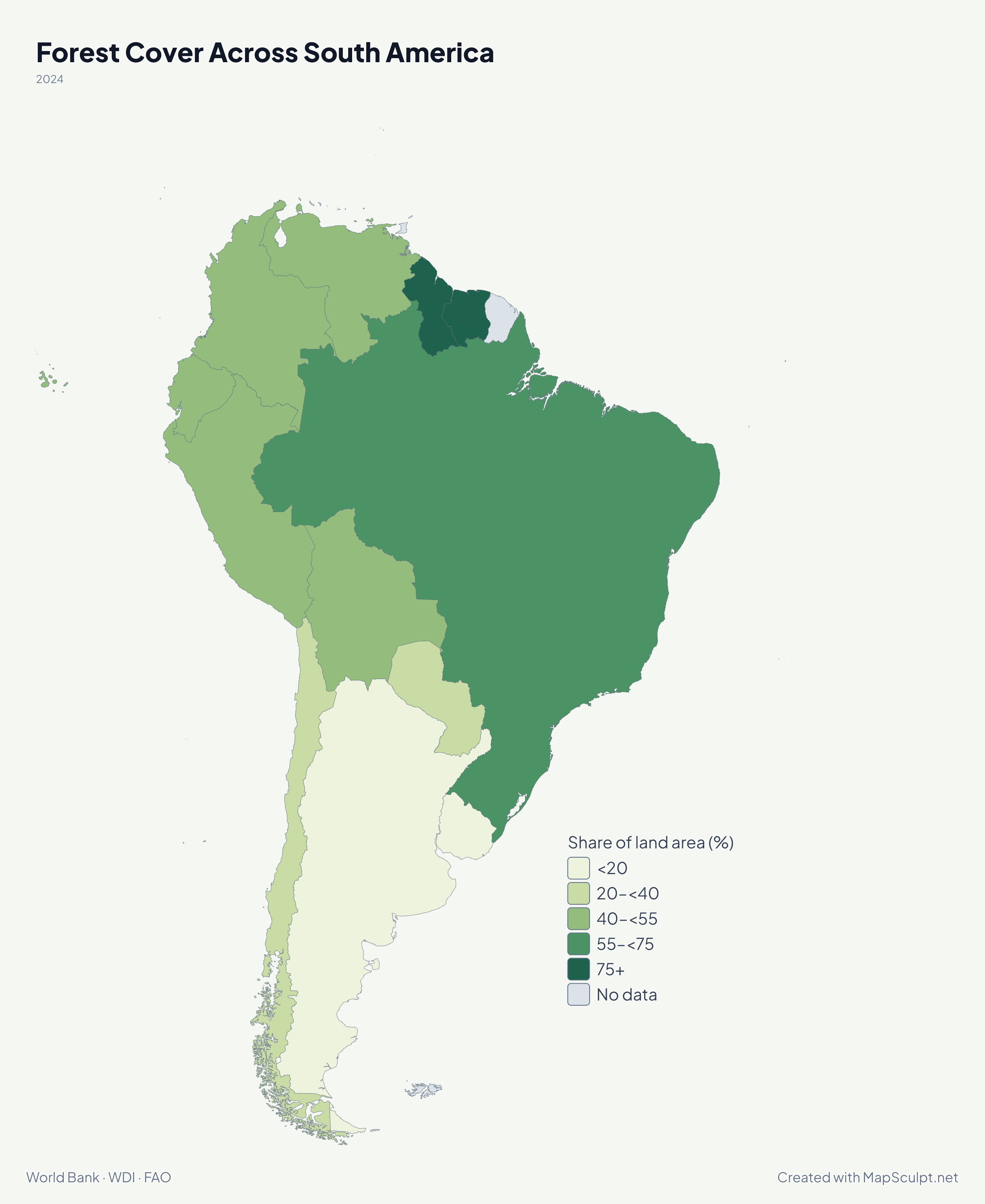
Share of land area (%)
2024 · Suriname (91.5%) and Guyana (87.1%) have the highest shares. Uruguay (11.5%) and Argentina (17.1%) have lower shares. The figures measure the percentage of land under forest.
Know your geography
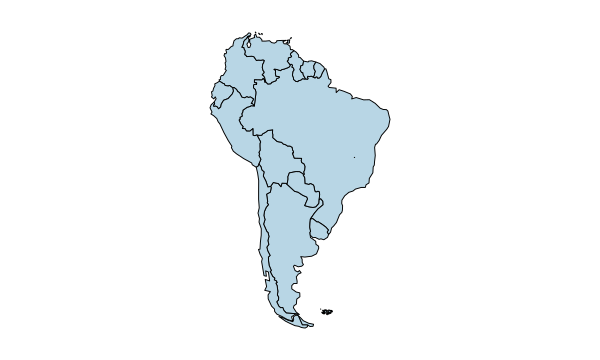
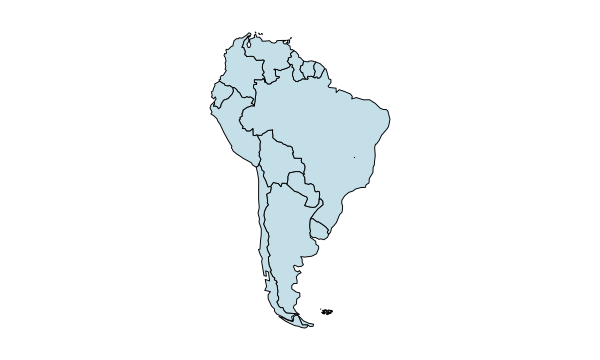
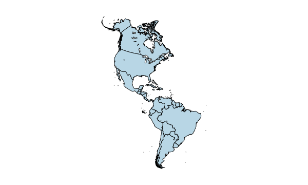
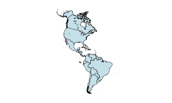
South America stretches from the Caribbean coast to Patagonia. The Andes run down its western side, and the Amazon Basin drains toward the Atlantic. The editor lets you color countries individually and includes six additional selectable areas.
French Guiana is part of France. The Falkland Islands (Malvinas) are administered by the United Kingdom and claimed by Argentina. The editor also shows Aruba, the Caribbean Netherlands, Curaçao, and Trinidad and Tobago, which the UN groups with the Caribbean.
Geographic data · Map examples
Compare the 12 countries using four World Bank indicators. Grey marks areas without a value in this comparison.
2025
Around 95.7% of Uruguay’s population lives in urban areas, compared with 26.5% in Guyana. The series uses national definitions of urban areas.
Share of population (%)

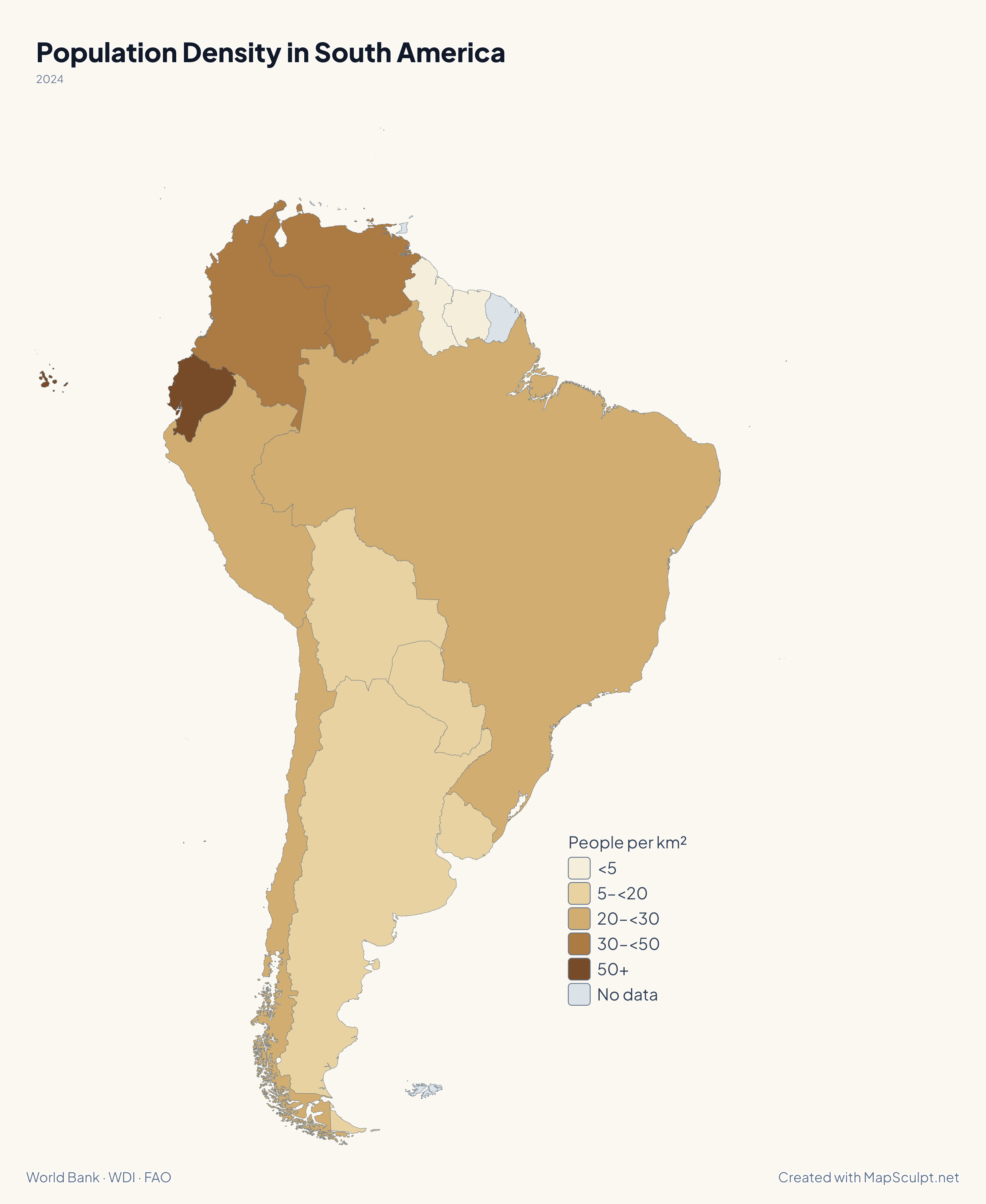
2024
Ecuador averages 73 people per km² of land area. Guyana and Suriname average about 3.9 and 4. These country averages can mask differences between cities and rural areas.
People per km²

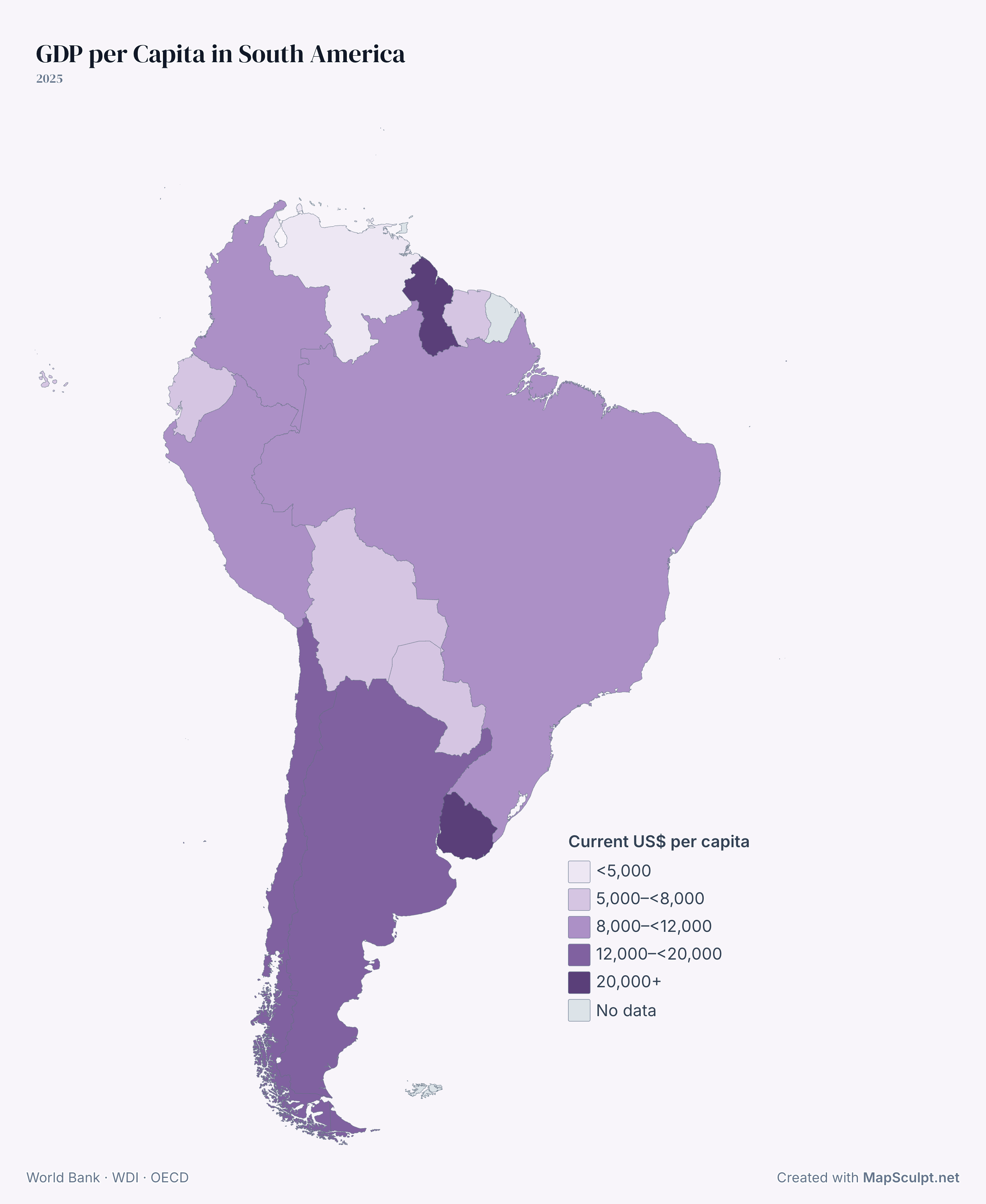
2025
Guyana (USD 32,414) and Uruguay (USD 25,216) are in the highest band. GDP per capita divides economic output by population and is expressed in current US dollars, without an adjustment for purchasing power. It does not measure what a typical household earns.
Current US$ per capita
How it works
Start with a blank map or color countries individually.
Use country names or supported codes such as BRA. Review the matches and apply categories or a numeric scale.
Adjust colors, add a title and legend, and place your annotations.
Choose a canvas format, background and export resolution.
Illustrative CSV
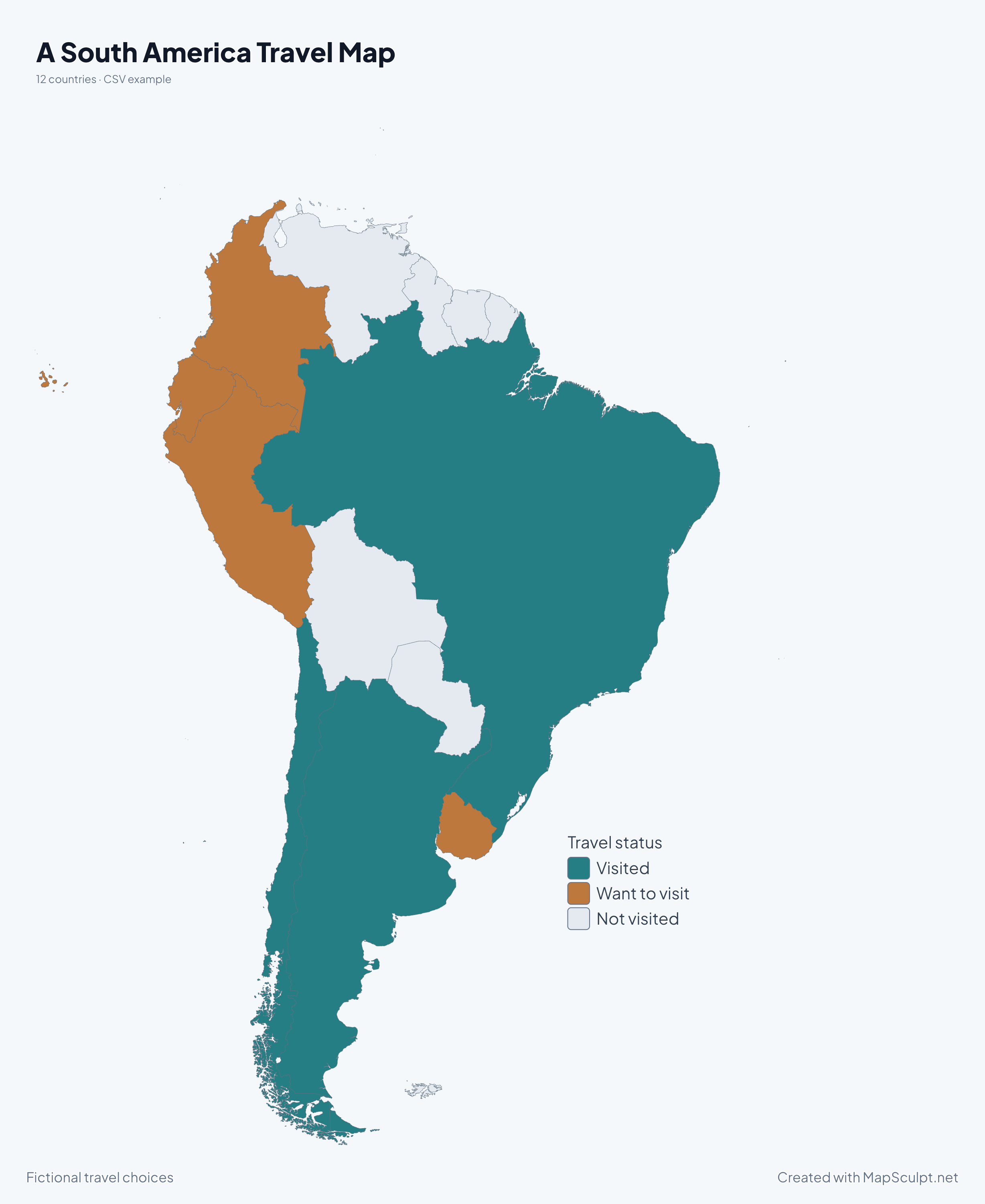
Download 12 fictional travel statuses and use them to recreate the sample.
| Country | Country code | Status |
|---|---|---|
| Argentina | ARG | Visited |
| Bolivia | BOL | Not visited |
| Brazil | BRA | Visited |
| Chile | CHL | Visited |
| Colombia | COL | Want to visit |
| Ecuador | ECU | Want to visit |
Match the Country code column and color by Status. The legend shows the three travel colors.
Download sample CSV
Countries and capitals
Search by country, ISO code or capital.
12 countries found
Get the geography straight
South America is a continent. Latin America is a cultural and linguistic term usually used for places in the Americas where Spanish, Portuguese or French predominate. It extends beyond South America to areas including Mexico and parts of the Caribbean. The Americas encompass North and South America.
THE MAPSCULPT COLLECTION
Find your geography. Add your perspective.
98 maps / 8 collections
Countries, regions and counties. Ready for your ideas.
States
Regions
Regions
Departments
Regions
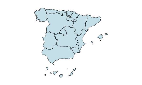
Autonomous communities
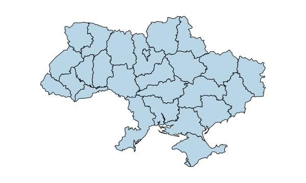
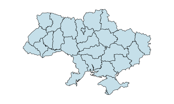
Regions
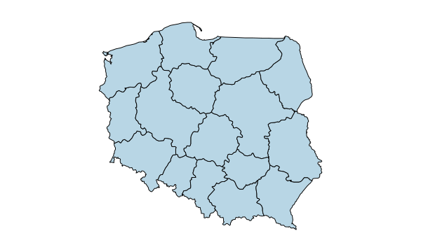
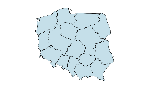
Voivodeships
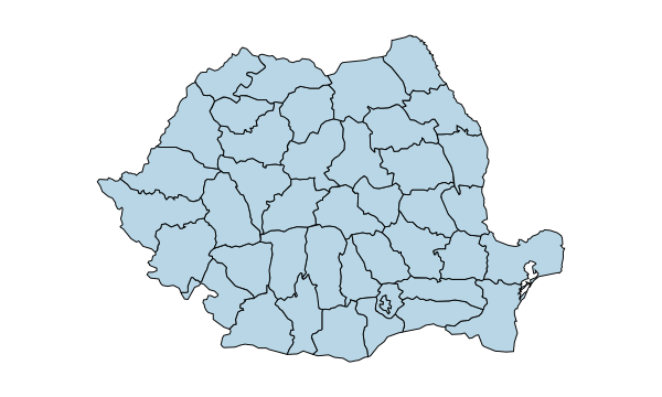
Counties & Bucharest
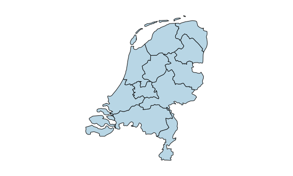
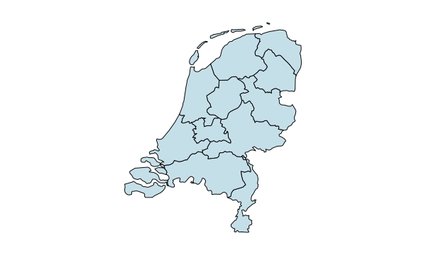
Provinces
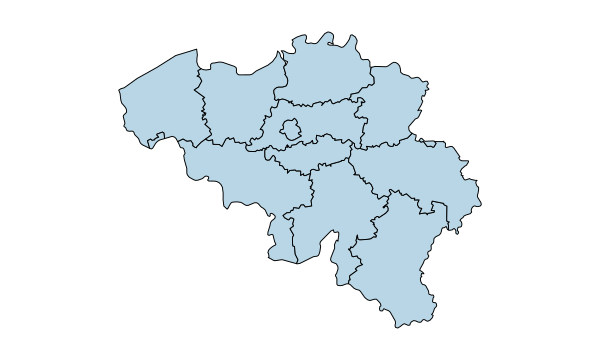
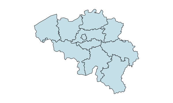
Provinces & Brussels
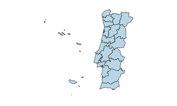
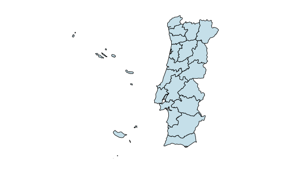
Districts & autonomous regions
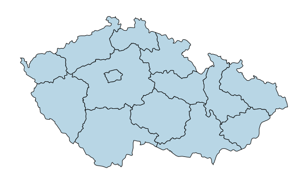
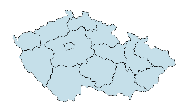
Regions
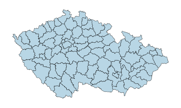
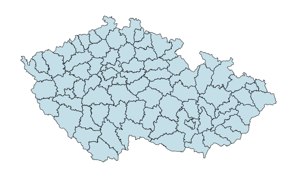
77 districts including Prague
Counties
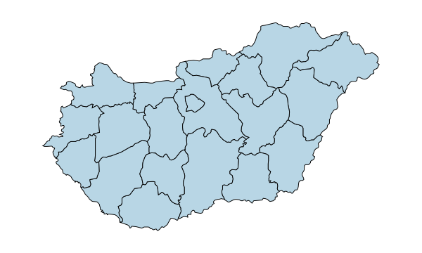
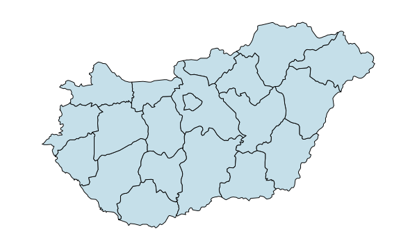
Counties & Budapest
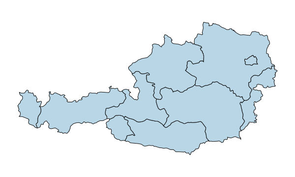
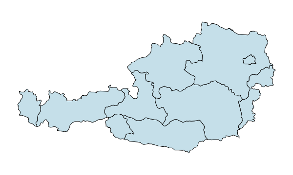
States
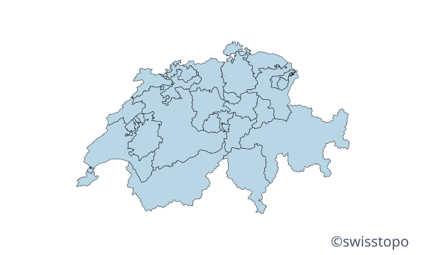
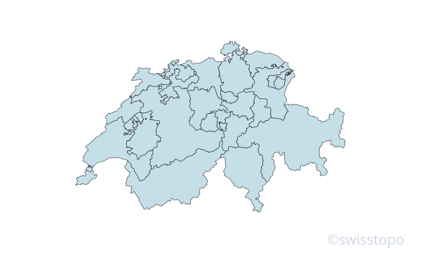
Cantons
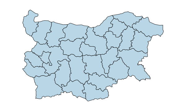
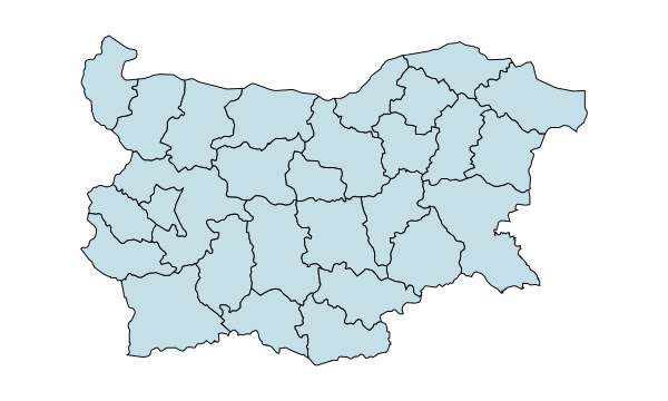
Provinces
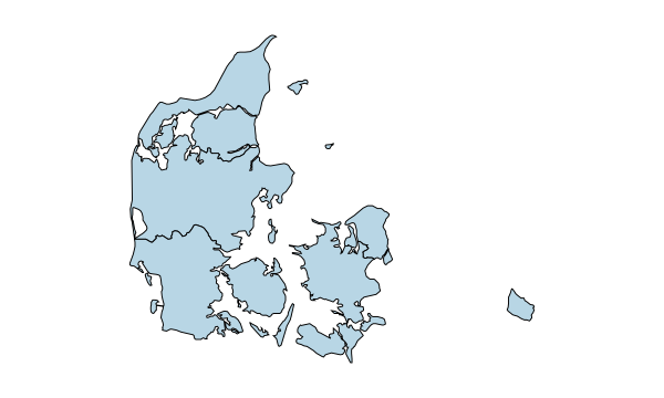
Regions
Regions
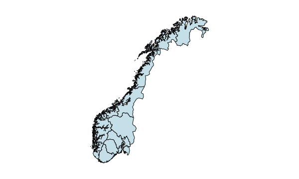
Counties
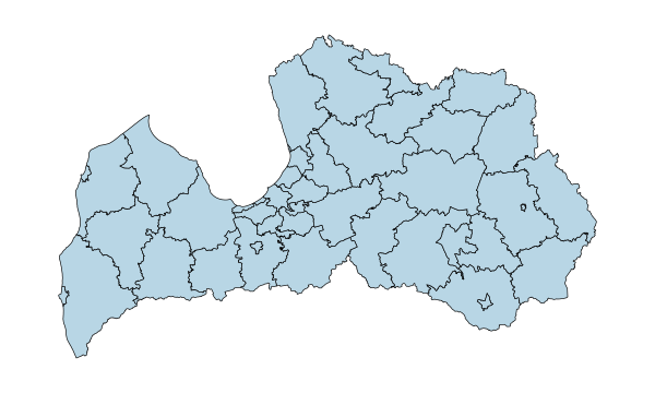
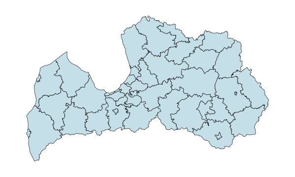
35 municipalities + 7 state cities
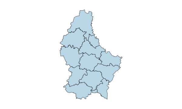
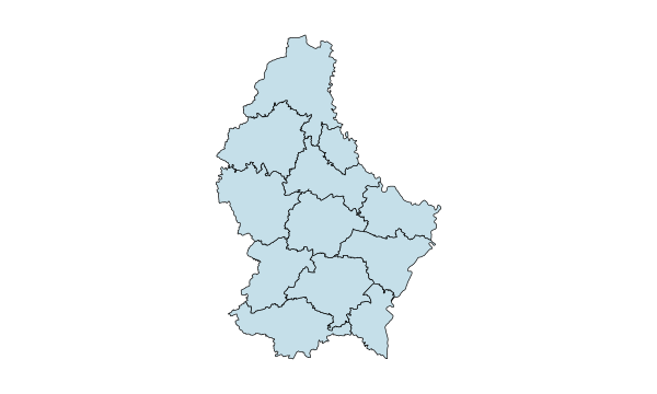
12 cantons
Counties
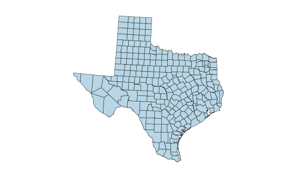
Counties
Counties
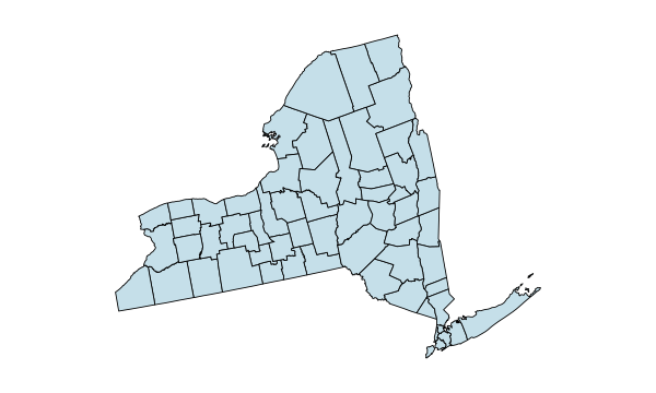
Counties
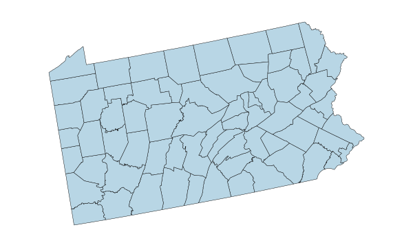
Counties
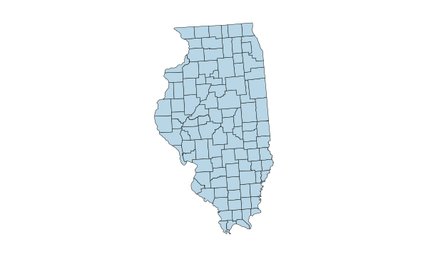
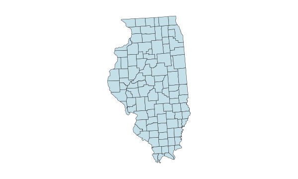
Counties
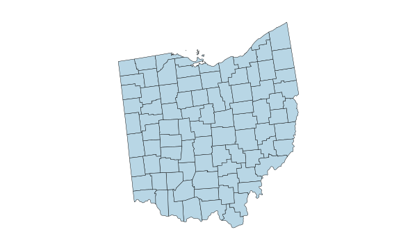
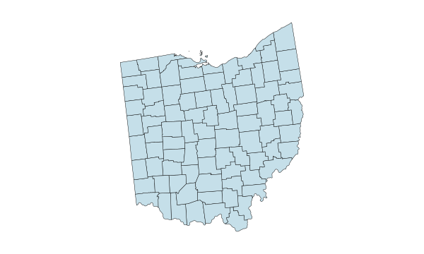
Counties
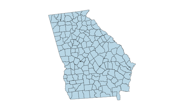
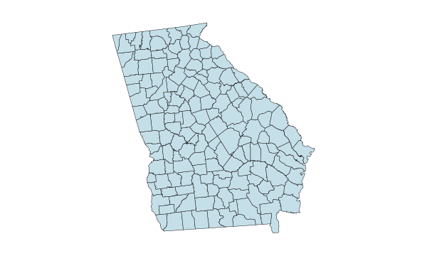
Counties
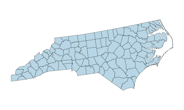
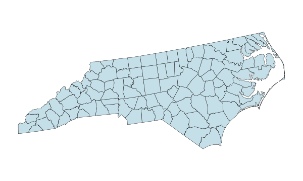
Counties
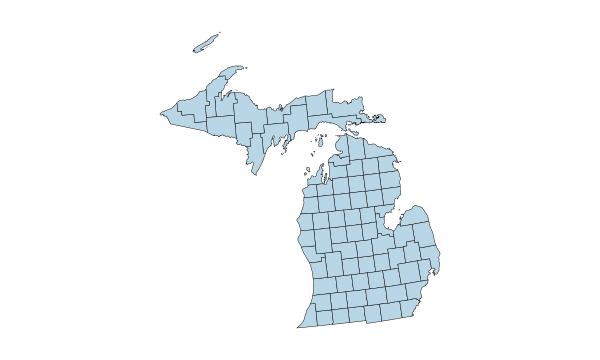
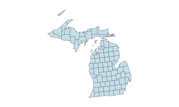
Counties
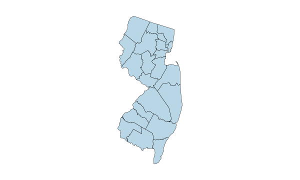
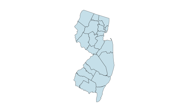
Counties
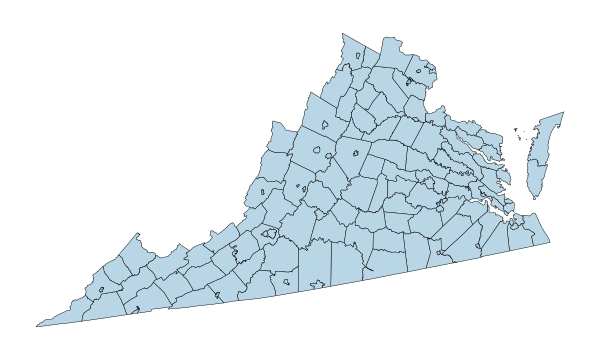
Counties
Counties
Counties
Counties
Counties
Counties
Counties
Counties
Counties
Counties
Counties
Counties
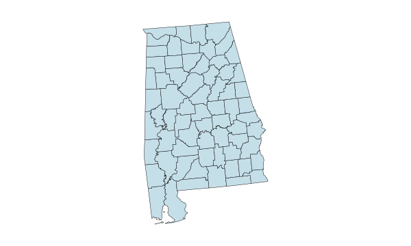
Counties
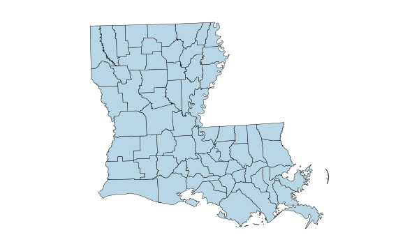
Parishes
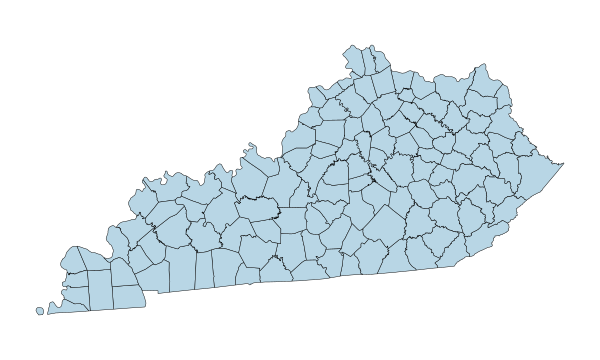
Counties
Counties
Counties
Planning regions
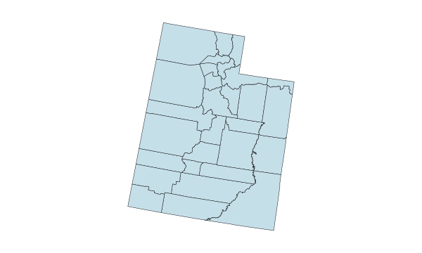
Counties
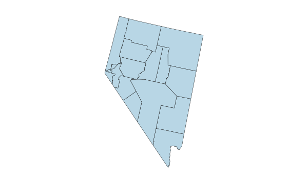
Counties & Carson City
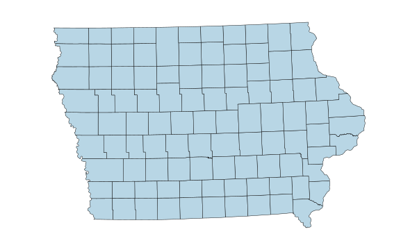
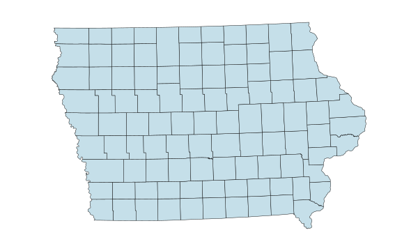
Counties
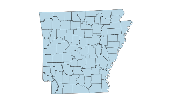
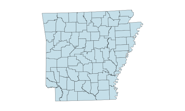
Counties
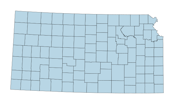
Counties
Counties
Counties
Counties
Counties
Counties
Counties
Counties
Counties
Counties
Counties
Counties
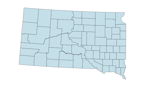
Counties
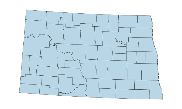
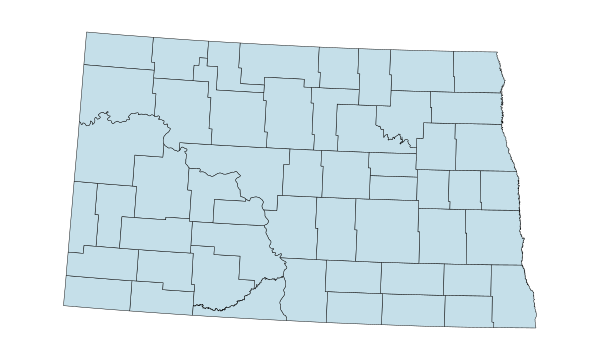
Counties
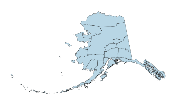
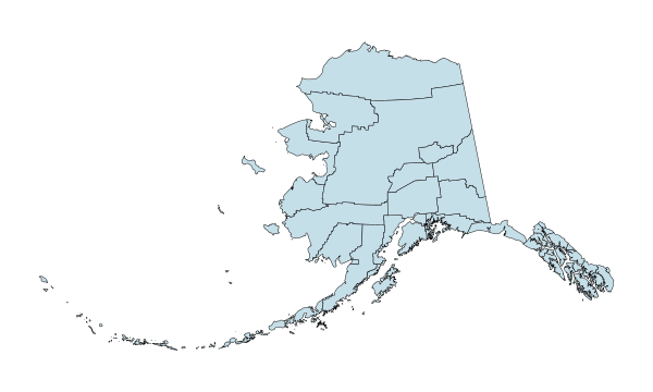
Boroughs & census areas
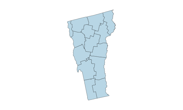
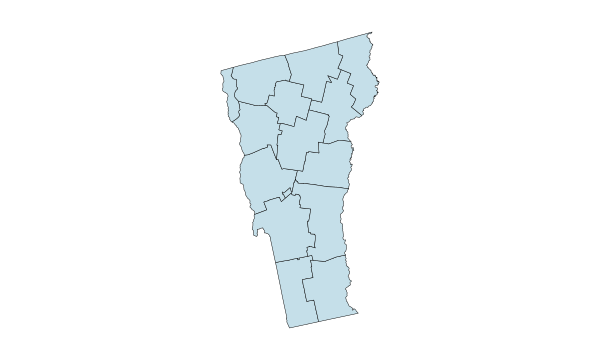
Counties
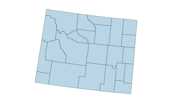
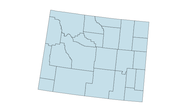
Counties
1–12 of 50 state maps
Common questions
There are 12 sovereign countries. The editor also includes six other selectable identities, including Caribbean areas and French Guiana.
Yes. Start with the outline and leave the countries uncolored, or clear existing fills before exporting.
Yes. Select a country on the map or use the region picker to find it by name.
Yes, as a CSV. Save your Excel worksheet as CSV, then match the country column before applying categories or numeric values.
Yes. Use the export dialog to choose a preset size or enter a custom size within the limits shown there.
No. French Guiana is an overseas territorial collectivity of France. It has its own selectable area in this map.
Yes. The Falkland Islands (Malvinas) are selectable. The UK administers the islands, and Argentina claims sovereignty.
South America is a geographic continent. Latin America is a wider cultural and linguistic grouping that also includes places outside the continent.
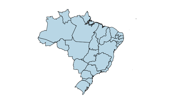
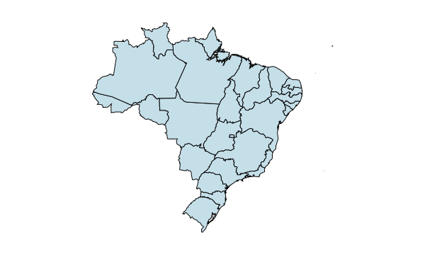
Yes. Open the Brazil States editor to color the states and Federal District separately.
You can color maps, import CSV data and export a standard PNG for free, with no account required.
Start mapping
Color countries, bring your data to life, and export a map worth sharing.