

SWEDEN / 21 COUNTIES
Sweden Counties Map Maker
Create a map of Sweden’s 21 counties. Colour each län, visualise regional data and export high-resolution maps for reports, research and presentations.
- 21 individually editable counties
- CSV import for county data
- Custom colours, titles and legends
- High-resolution PNG exports
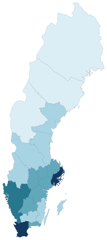
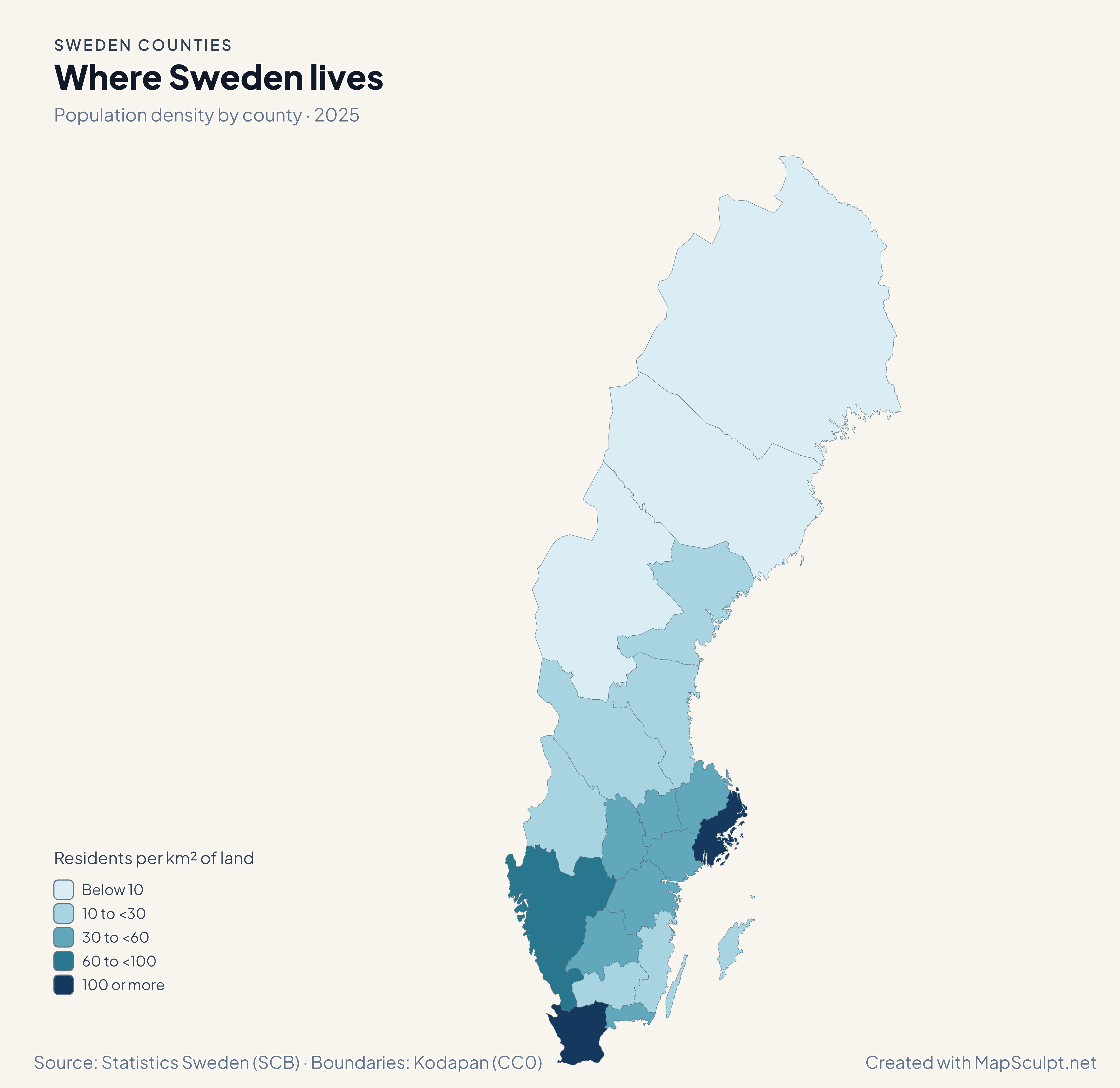
Population density by county · 2025
Where Sweden lives
Stockholm had 379.7 residents per km² of land, and Skåne had 130.2. In Norrbotten the figure was 2.5.
Residents per km² of land
- Below 10
- 10 to <30
- 30 to <60
- 60 to <100
- 100 or more
The measure uses land area. Each colour represents a county-wide average.
KNOW YOUR GEOGRAPHY
21 counties. One Sweden.
A län is a present-day county. Sweden’s 290 municipalities (kommuner) are smaller administrative units. The historical provinces (landskap) are a different geography, and Finland’s maakunnat belong to Finland’s own regional system.
Each county is one selectable unit. Gotland has its own fill; Öland shares Kalmar County’s fill. The editor uses coastline-clipped Swedish county boundaries adapted from Kodapan.
See all county codesMADE WITH MAPSCULPT
One Sweden. Many stories.
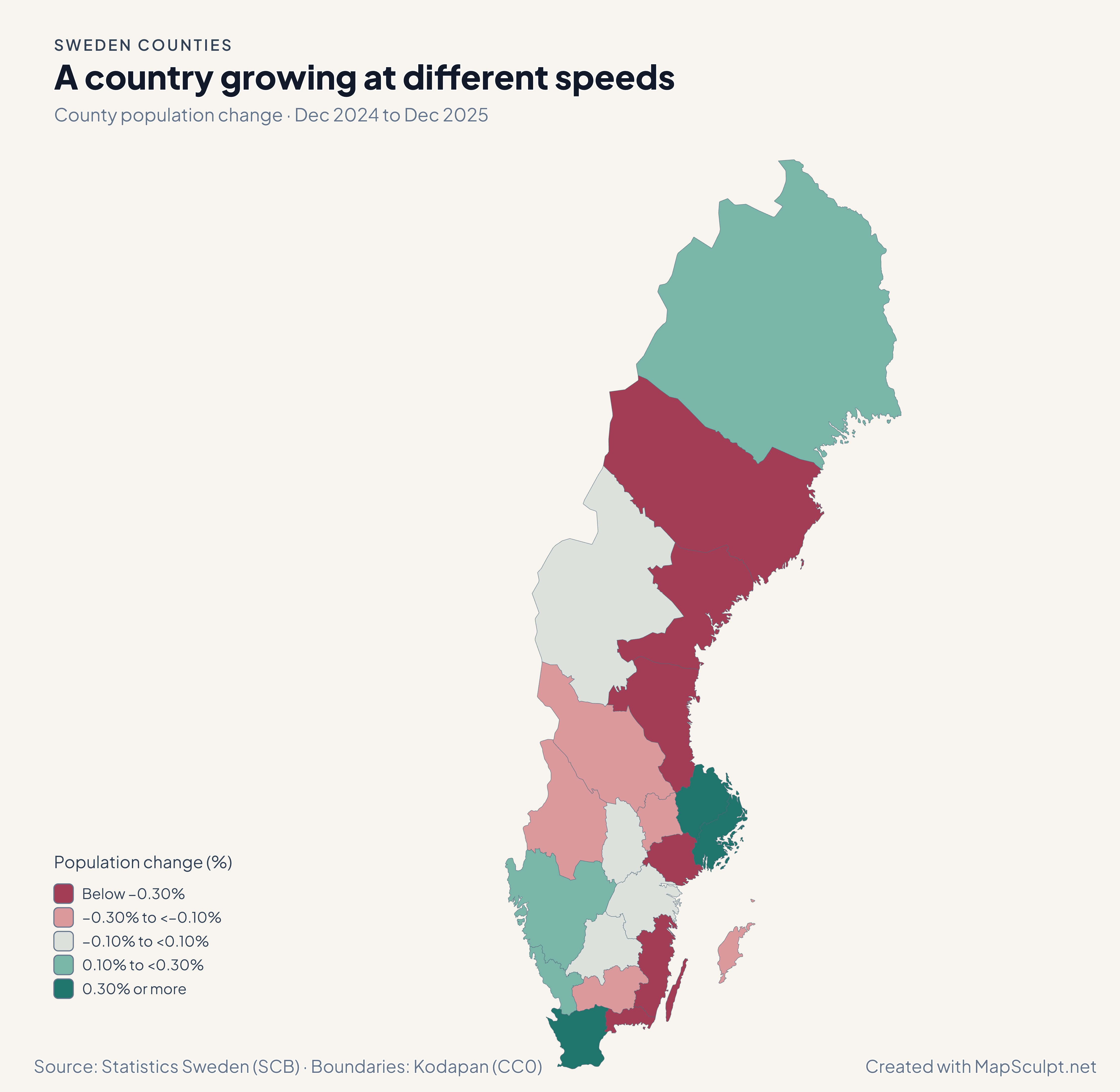
Two more views of the same counties show where population changed and how the age profile varies.
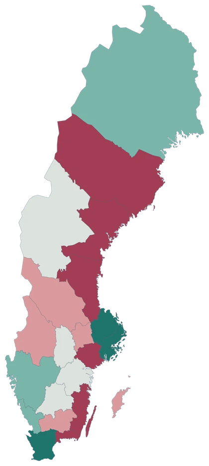
County population change · Dec 2024 to Dec 2025
A country growing at different speeds
Uppsala grew by 0.65%. Västerbotten declined by 0.75%.
Population change (%)
- Below −0.30%
- −0.30% to <−0.10%
- −0.10% to <0.10%
- 0.10% to <0.30%
- 0.30% or more
The calculation divides the change between the two December counts by the December 2024 population. The middle band includes small gains and losses.
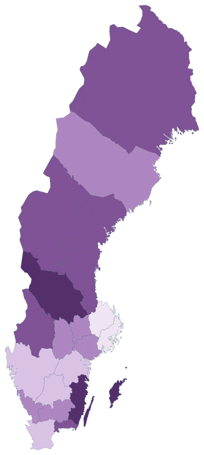
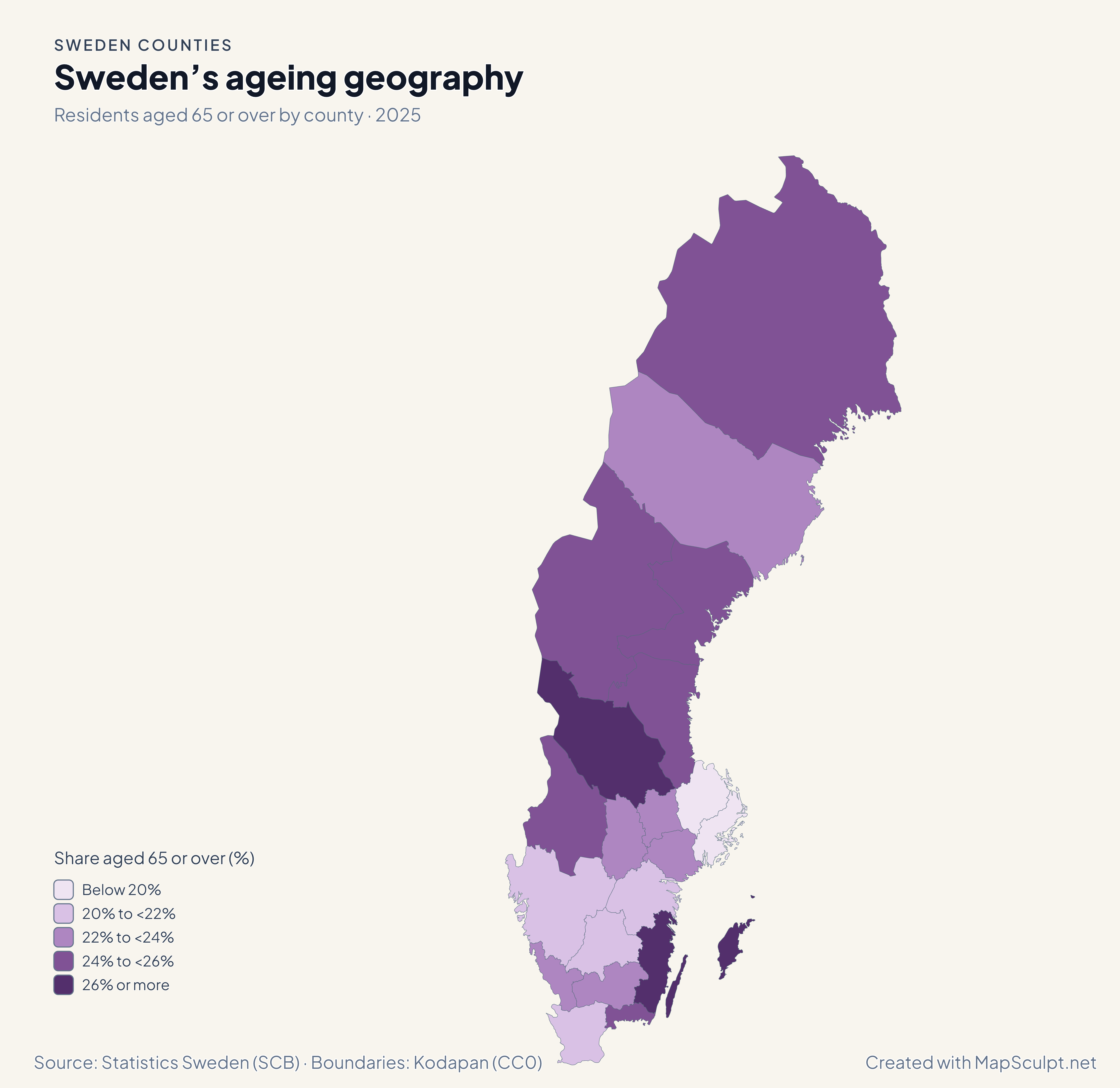
Residents aged 65 or over by county · 2025
Sweden’s ageing geography
Residents aged 65 or over made up 27.9% in Gotland and 17.2% in Stockholm.
Share aged 65 or over (%)
- Below 20%
- 20% to <22%
- 22% to <24%
- 24% to <26%
- 26% or more
The share uses SCB’s published 65+ count divided by its all-ages total for the same county. SCB adds a small amount of controlled random variation to its 2025 figures for confidentiality.
MAKE IT YOURS
From county data to a finished map.
Choose your counties
Open the Sweden Counties editor and click any county to paint it.
Import your data
Upload a CSV. Review how the County column matches the map before proceeding to design.
Add context
Choose colours and class breaks, then add a title, source and legend.
Export your PNG
Open Download, choose High resolution and check the title and legend in the preview.
TRY CSV IMPORT
Your spreadsheet. Your Sweden map.
The download contains all 21 county rows. The table shows six examples from the same population-change map.
| County | County code | 2024 | 2025 | Change |
|---|---|---|---|---|
| Stockholms län | 01 | 2,473,307 | 2,486,251 | +0.52% |
| Uppsala län | 03 | 407,912 | 410,575 | +0.65% |
| Gotlands län | 09 | 60,971 | 60,852 | -0.20% |
| Skåne län | 12 | 1,428,626 | 1,433,083 | +0.31% |
| Västra Götalands län | 14 | 1,772,821 | 1,777,803 | +0.28% |
| Västerbottens län | 24 | 281,138 | 279,028 | -0.75% |
Choose County as the region column and Change (%) as the value column. The file uses a decimal point. You can also match by County code. Store the codes as text to preserve leading zeros.
Population inputs from Statistics Sweden (SCB)
Download population change CSVCOUNTY REFERENCE
Explore Sweden’s 21 counties.
Official county names and two-digit codes in SCB order.
21 of 21 counties
- 01Stockholms län
- 03Uppsala län
- 04Södermanlands län
- 05Östergötlands län
- 06Jönköpings län
- 07Kronobergs län
- 08Kalmar län
- 09Gotlands län
- 10Blekinge län
- 12Skåne län
- 13Hallands län
- 14Västra Götalands län
- 17Värmlands län
- 18Örebro län
- 19Västmanlands län
- 20Dalarnas län
- 21Gävleborgs län
- 22Västernorrlands län
- 23Jämtlands län
- 24Västerbottens län
- 25Norrbottens län
THE MAPSCULPT COLLECTION
Choose your map.
Find your geography. Add your perspective.
98 maps / 8 collections
Countries, regions and counties. Ready for your ideas.
Sort maps
Germany
States
United Kingdom
Regions
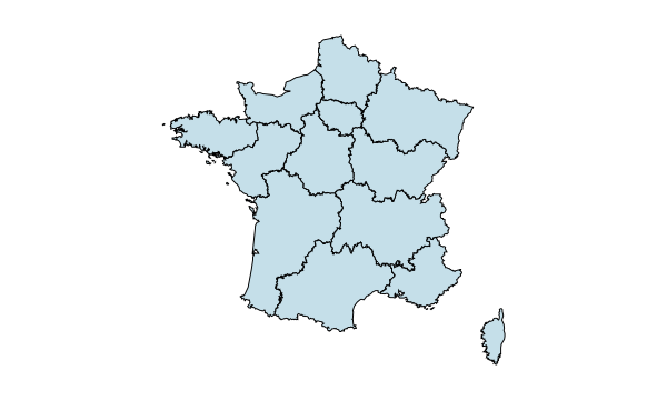
France
Regions
France
Departments
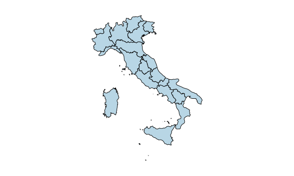
Italy
Regions
Spain
Autonomous communities
Ukraine
Regions
Poland
Voivodeships
Romania
Counties & Bucharest
Netherlands
Provinces
Belgium
Provinces & Brussels
Portugal
Districts & autonomous regions
Czechia
Regions
Czechia · Districts
77 districts including Prague
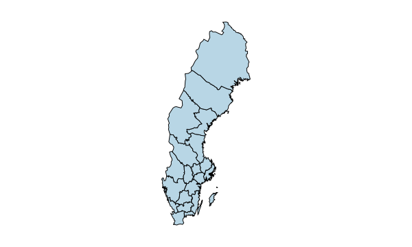
Sweden
Counties
Hungary
Counties & Budapest
Austria
States
Switzerland
Cantons
Bulgaria
Provinces
Denmark
Regions
Finland
Regions
Norway
Counties
Latvia · Municipalities
35 municipalities + 7 state cities
Luxembourg · Cantons
12 cantons
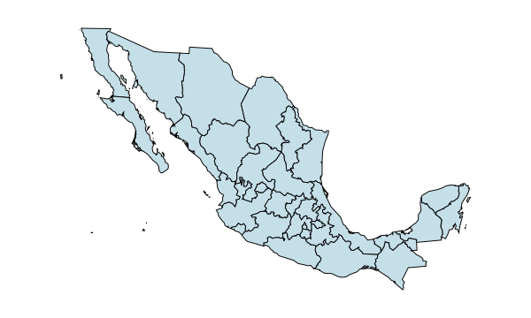
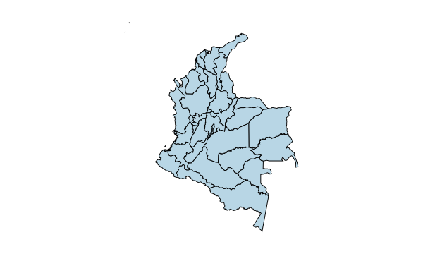
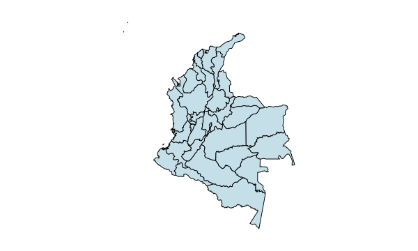
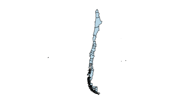
California
Counties
Texas
Counties
Florida
Counties
New York
Counties
Pennsylvania
Counties
Illinois
Counties
Ohio
Counties
Georgia
Counties
North Carolina
Counties
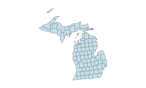
Michigan
Counties
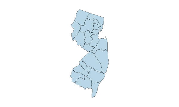
New Jersey
Counties
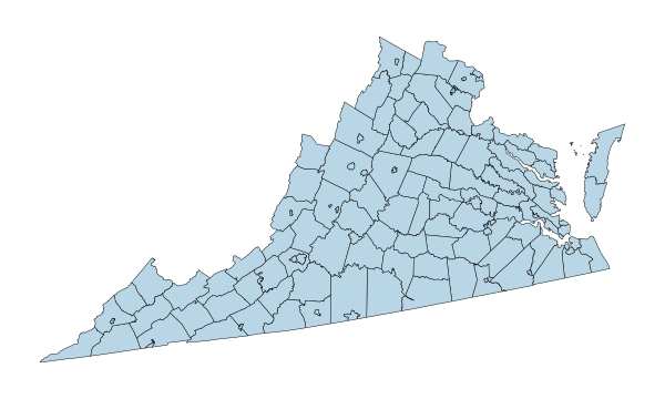
Virginia
Counties
Washington
Counties
Arizona
Counties
Tennessee
Counties
Massachusetts
Counties
Indiana
Counties
Missouri
Counties
Maryland
Counties
Colorado
Counties
Wisconsin
Counties
Minnesota
Counties
South Carolina
Counties
Alabama
Counties
Louisiana
Parishes
Kentucky
Counties
Oregon
Counties
Oklahoma
Counties
Connecticut
Planning regions
Utah
Counties
Nevada
Counties & Carson City
Iowa
Counties
Arkansas
Counties
Kansas
Counties
Mississippi
Counties
New Mexico
Counties
Idaho
Counties
Nebraska
Counties
West Virginia
Counties
Hawaii
Counties
New Hampshire
Counties
Maine
Counties
Montana
Counties
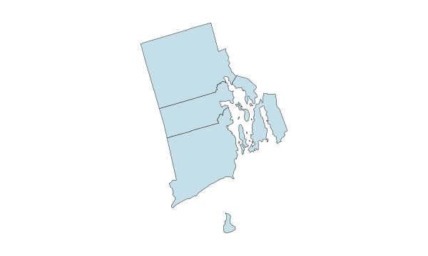
Rhode Island
Counties
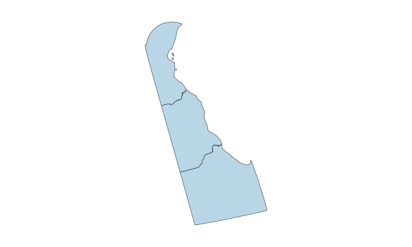
Delaware
Counties
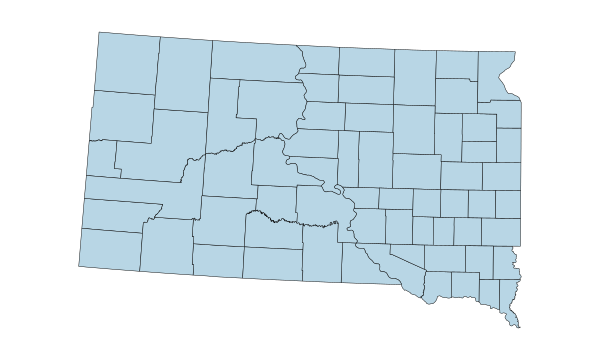
South Dakota
Counties
North Dakota
Counties
Alaska
Boroughs & census areas
Vermont
Counties
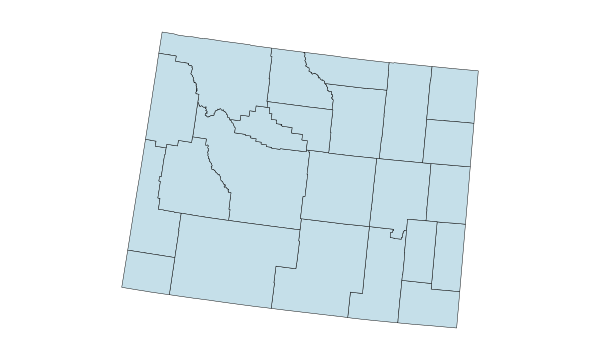
Wyoming
Counties
1–12 of 50 state maps
COMMON QUESTIONS
Questions about Sweden county maps.
How many counties does Sweden have?
Sweden has 21 counties, called län. All 21 are individually editable in MapSculpt.
How do I colour a specific county?
Choose a colour in the editor, then click the county. For several counties at once, use a CSV with a County name column.
Can I download an outline map?
Open the editor and leave the counties unpainted. Choose a background and border style, then download a PNG.
Can I import data from a spreadsheet?
Save it as a CSV and match the county names in the import preview. The sample works with county names or the official two-digit county codes.
Does the map include Gotland and Öland?
Yes. Gotland is a separate county; Öland belongs to Kalmar County and shares its colour.
How do counties differ from municipalities?
Counties are the 21 larger areas on this map. The 290 municipalities are smaller units with their own boundaries. Historical provinces follow another set of boundaries.
How do I export a high-resolution PNG?
Choose Download, then High resolution. Turn on the title and legend if they should appear in the exported file.
Is the map maker free?
You can colour counties, add a legend and download a PNG for free without signing in.
Can I use a map in a report or classroom?
Yes. Keep the period, units and source with statistical maps so readers can interpret the colours.